Trimble is offering more sophisticated GNSS receivers

Trimble says that it is increasing the capabilities of its integrated GNSS survey receiver range. This line-up includes the Trimble R4, Trimble R6, Trimble R8 GNSS systems and is rounded out by the latest Trimble R10 GNSS System. The new improvements being added include increased satellite tracking and Real Time Kinematic (RTK) performance. These modernise the integrated receiver portfolio to add functionality, flexibility and capability as well as providing more options for surveyors.
January 6, 2017 Read time: 2 mins
2122 Trimble says that it is increasing the capabilities of its integrated GNSS survey receiver range. This line-up includes the Trimble R4, Trimble R6, Trimble R8 GNSS systems and is rounded out by the latest Trimble R10 GNSS System. The new improvements being added include increased satellite tracking and Real Time Kinematic (RTK) performance. These modernise the integrated receiver portfolio to add functionality, flexibility and capability as well as providing more options for surveyors.

The Trimble R8 includes integrated Trimble Maxwell 6 ASICs offering 440 channels. Powered by Trimble 360 technology, the Trimble R8 is said to offer consistent and reliable tracking of signals for all existing GNSS constellations and augmentation systems, including GPS, GLONASS, Galileo, BeiDou and QZSS. Using the Trimble R8, surveyors can connect to the controller, receive RTK network corrections and access the Internet via comprehensive communication options. The Trimble R6 GNSS features Trimble R-Track satellite tracking technology, a Trimble Maxwell 6 ASIC with 220 channels and support for all GPS and QZSS signals with GNSS upgrade options, the Trimble R6 provides surveyors with a completely scalable and flexible solution. The Trimble R6 supports GPS L1, L2, L2C, and L5 signals and QZSS as standard and offers upgrade options to support GLONASS, Galileo and BeiDou signals. The Trimble R6 delivers the accuracy and reliability required for precision surveying with superior tracking and RTK performance. The Trimble R4 GNSS is designed for use with the new Trimble Slate Controller and Trimble Access field software. This sSystem provides a dedicated and reliable GNSS solution that is effective for both real time and post-processed GNSS surveys. The Trimble R4 now supports GPS L1, L2, and L2C and QZSS signals as standard and also offers GLONASS, Galileo and BeiDou support upgrade options. The system includes Trimble R-Track technology and a Trimble Maxwell 6 ASIC with 220 channels. Trimble R10 GNSS system is said to be the premier solution of the integrated survey receiver portfolio. Designed to increase  productivity, the Trimble R10 provides powerful functionality, including Trimble 360 receiver technology, precise position capture with Trimble SurePoint technology, the cutting-edge Trimble HD-GNSS processing engine and Trimble xFill bridging technology to fill in for RTK corrections in the event of temporary radio or Internet connection outages.

Stand: A3.327/426

%$Linker: 2 Asset <?xml version="1.0" encoding="utf-16"?><dictionary /> 2 55403 0 oLinkExternal www.Trimble.com www.Trimble.com false /EasySiteWeb/GatewayLink.aspx?alId=55403 false false%>

%$Linker: 2 Internal <?xml version="1.0" encoding="utf-16"?><dictionary /> 2 11560 0 oLinkInternal <span class="oLinkInternal"><span class="oLinkInternal">View more videos</span></span> Video false /event-news/bauma-2013/video/ true false%>

For more information on companies in this article

Related Content

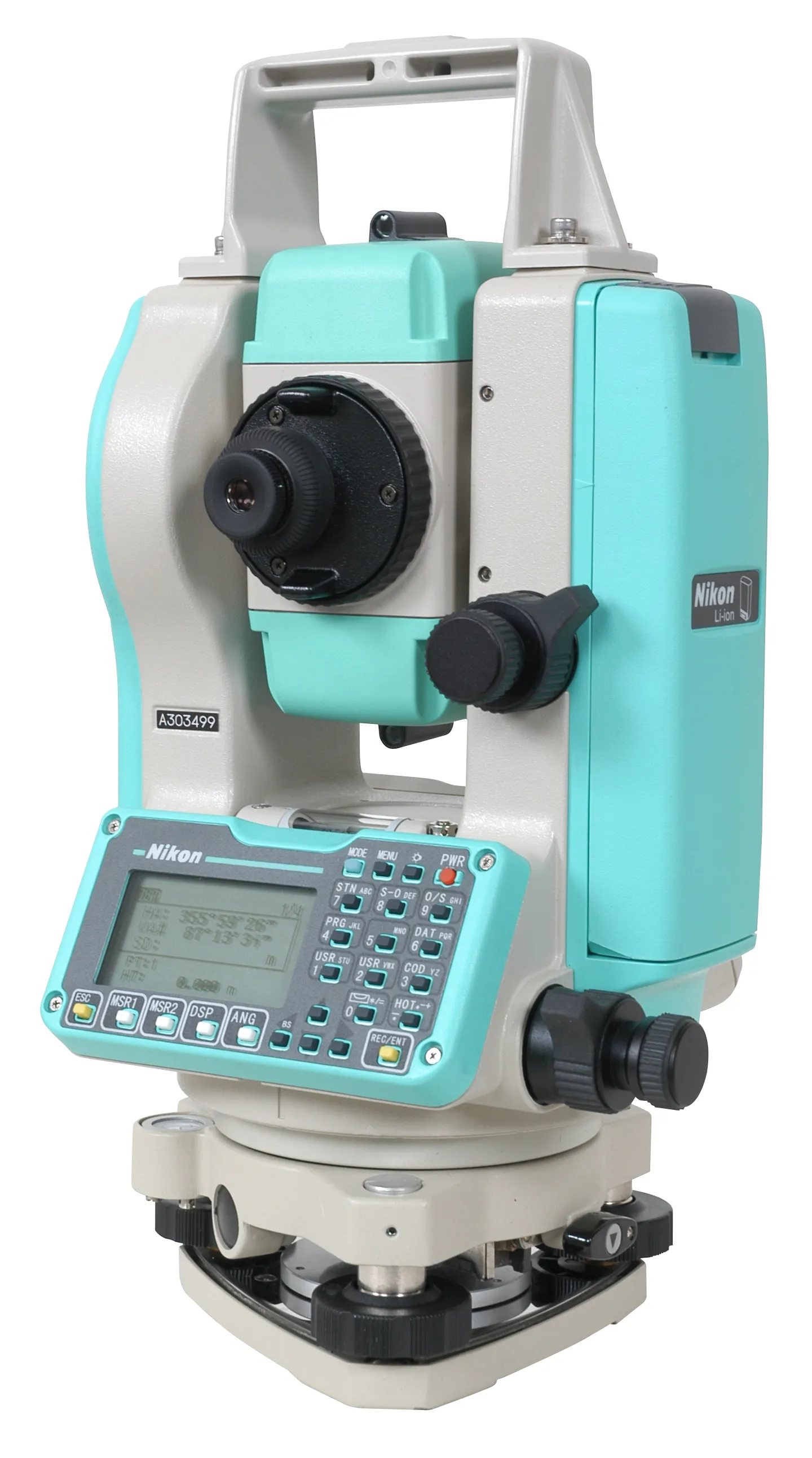
  • Improved performance from Nikon-Trimble’s latest total stations
    February 11, 2013
    Nikon-Trimble says that its latest Nikon NPL-322 Series of mechanical total stations offer more precise accuracy and performance. The range includes instruments with angular accuracy of 50.8mm and 127mm, with the former featuring dual-displays for productive angle measurement. Both NPL-322 total station models feature a reflectorless EDM with a range of 200m. High reliability is claimed and thee NPL-322 Series adds reflectorless measurement capabilities to the firm’s field-proven Nikon DTM-322 product line,
  • Hemisphere & Carlson ‘strategic’ alliance
    January 6, 2017
    US firms Hemisphere GPS and Carlson Software have formed a ‘strategic alliance’. The move, according to the companies, will provide a “roadmap” for new, integrated solutions for land survey, mapping, construction, mining and other key machine control markets.
  • Hemisphere & Carlson ‘strategic’ alliance
    March 8, 2012
    US firms Hemisphere GPS and Carlson Software have formed a ‘strategic alliance’. The move, according to the companies, will provide a “roadmap” for new, integrated solutions for land survey, mapping, construction, mining and other key machine control markets.
  • Sophisticated camera system
    January 6, 2017
    Paris-based Arcure has developed the sophisticated Blaxtair safety camera system for use with off-highway equipment to reduce risks for site personnel. This camera helps detect obstacles, locate them precisely and identify them. Highly sophisticated, the Blaxtair unit can distinguish pedestrians from other objects in real time. When a pedestrian is detected in the danger zone, Blaxtair emits a sonic alarm to the driver that increases with the imminence of the danger. A control screen in the cabin allows the