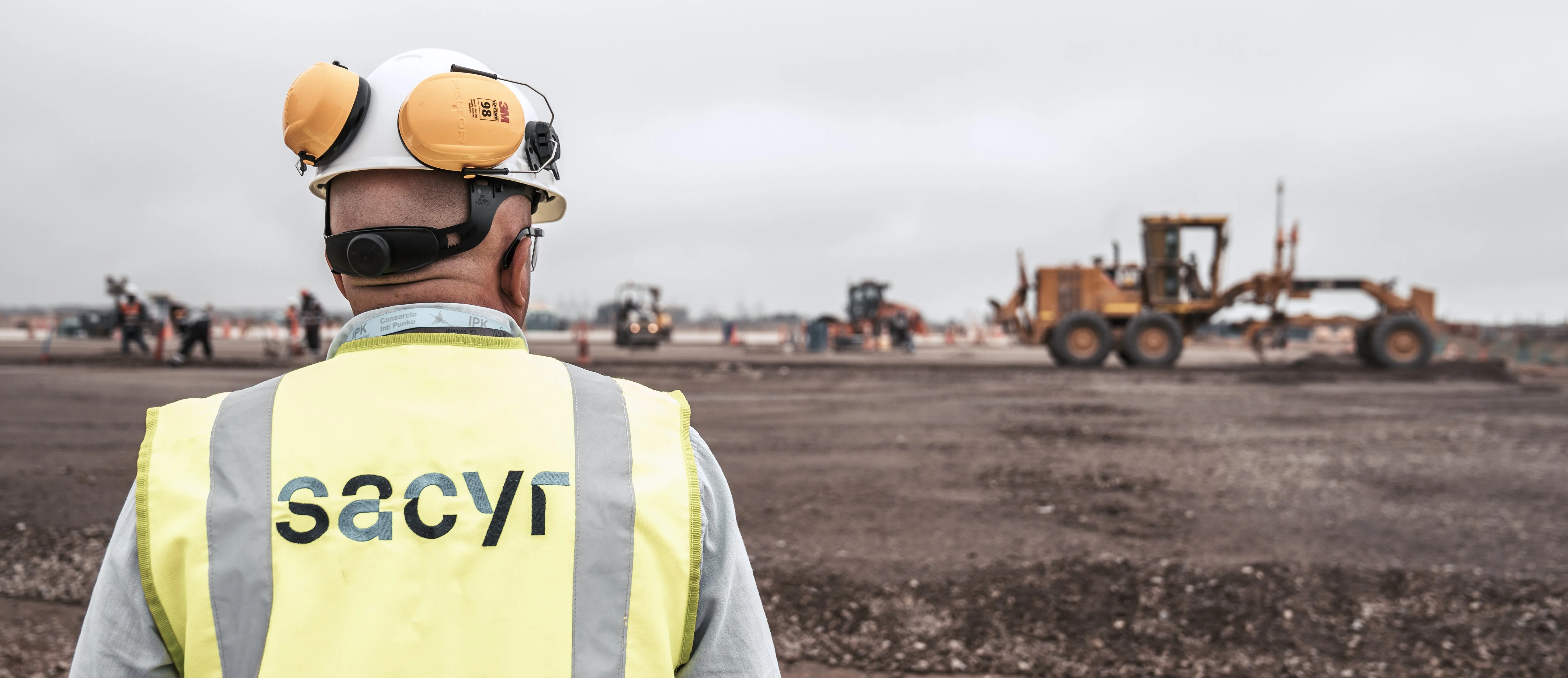
Topcon Positioning is broadening its solutions to the construction sector with a combination of partnerships and acquisitions. The firm has acquired a significant share of Finnish design software specialist Viasys VDC, adding to its portfolio of (BIM) technologies. This firm offers a comprehensive suite of tools and services for building Virtual Design and Construction (VDC) models for infrastructure and site-work projects. The VDC models from Viasys can be used to optimise the construction process through

The company is also establishing a new partnership for photogrammetry technology. The deal has been struck with digital photogrammetric solution provider Agisoft. This move will further expand the Topcon portfolio of solutions for mass data collection (MDC).
Topcon will provide the Agisoft Photogrammetric Kit for Topcon – Professional Edition software for post-processing of data collected using unmanned aerial systems (UAS).
Features include photogrammetric triangulation, dense point-cloud editing and classification, digital terrain or surface model export to a variety of formats including georeferenced orthomosiac production (including GeoTIFF and KML export), multi-spectral imagery processing, 3D model generation and texturing, as well as full measurement analysis tools.
These deals follow on from Topcon’s recent collaboration with DAQRI for augmented reality technology. DAQRI developed its innovative Smart Helmet, an industrial-grade wearable unit that allows users to view as-built designs through a head-up display. Topcon and DAQRI will integrate DAQRI’s hardware and software solutions with Topcon positioning solutions. Powered by 4D Studio, DAQRI’s software platform for positioning, the partnership will allow construction workers to view information from their projects in the real-world work environment to make their workflows safer and more efficient. The collaboration is designed to bring wearable technology to a wider AEC (architecture, engineering and construction) user-base; empowering the wearer with a hands-free tool that can be used on the job.