Topcon develops advanced software tool

Topcon Europe Positioning is offering upgrades to its MAGNET software products, which have benefited from the firm’s recent tie-up with Autodesk. The MAGNET Enterprise package is a cloud service that connects the firm’s Field and Office products and provides a web-based interface to company data and new versions of MAGNET Field and MAGNET Office are available.
February 8, 2013 Read time: 2 mins
5962 Topcon Europe Positioning is offering upgrades to its MAGNET software products, which have benefited from the firm’s recent tie-up with 685 Autodesk. The MAGNET Enterprise package is a cloud service that connects the firm’s Field and Office products and provides a web-based interface to company data and new versions of MAGNET Field and MAGNET Office are available. The MAGNET Field software runs on field controllers and on-board total stations, while MAGNET Office is a stand-alone office package for processing and modelling. This MAGNET system allows real-time collaboration between project manager, field crews, office personnel, engineers, or consultants and the updates to MAGNET Enterprise include a MAGNET Relay mobile base RTK broadcasting service, added tool tips for key icons and buttons and multiple improvements to Asset Manager.

The updates to the MAGNET Field package include quick codes, the ability to export GPS and TS raw data to user-defined formats using the new custom export formatter, viewing text from AutoCAD DWG files is now an option to import for viewing on the map. The improvements provide a 3D Viewer, can support SiteLink 3D connections, mean that simulation is available in all routines, allow more Calculate (COGO) routines and view options in map for Background Drawings and Surfaces. Meanwhile updates to MAGNET Office include new tools so that importing DWG for 64 Bit Systems is supported, has added a processing option to Assist Import from the Internet and has added an option to create points at tick intersections from AutoCAD drawings. It has also added annotations settings for two point arcs, a new option to create vectors from PDF files, an option to Trace PDF vector data, an option to Trace Raster data, an option to Elevate polylines during PDF trace, an option to Scale PDF data and SiteLink 3D interface and support.

%$Linker: 2 Asset <?xml version="1.0" encoding="utf-16"?><dictionary /> 2 12760 0 oLinkExternal www.topcon.eu www.topcon.eu false /EasySiteWeb/GatewayLink.aspx?alId=12760 false false%>

%$Linker: 2 Internal <?xml version="1.0" encoding="utf-16"?><dictionary /> 2 11560 0 oLinkInternal <span class="oLinkInternal"><span class="oLinkInternal">View more videos</span></span> Video false /event-news/bauma-2013/video/ true false%>

For more information on companies in this article

Related Content

  • Sennebogen premieres 70tonne telescopic crane
    April 19, 2013
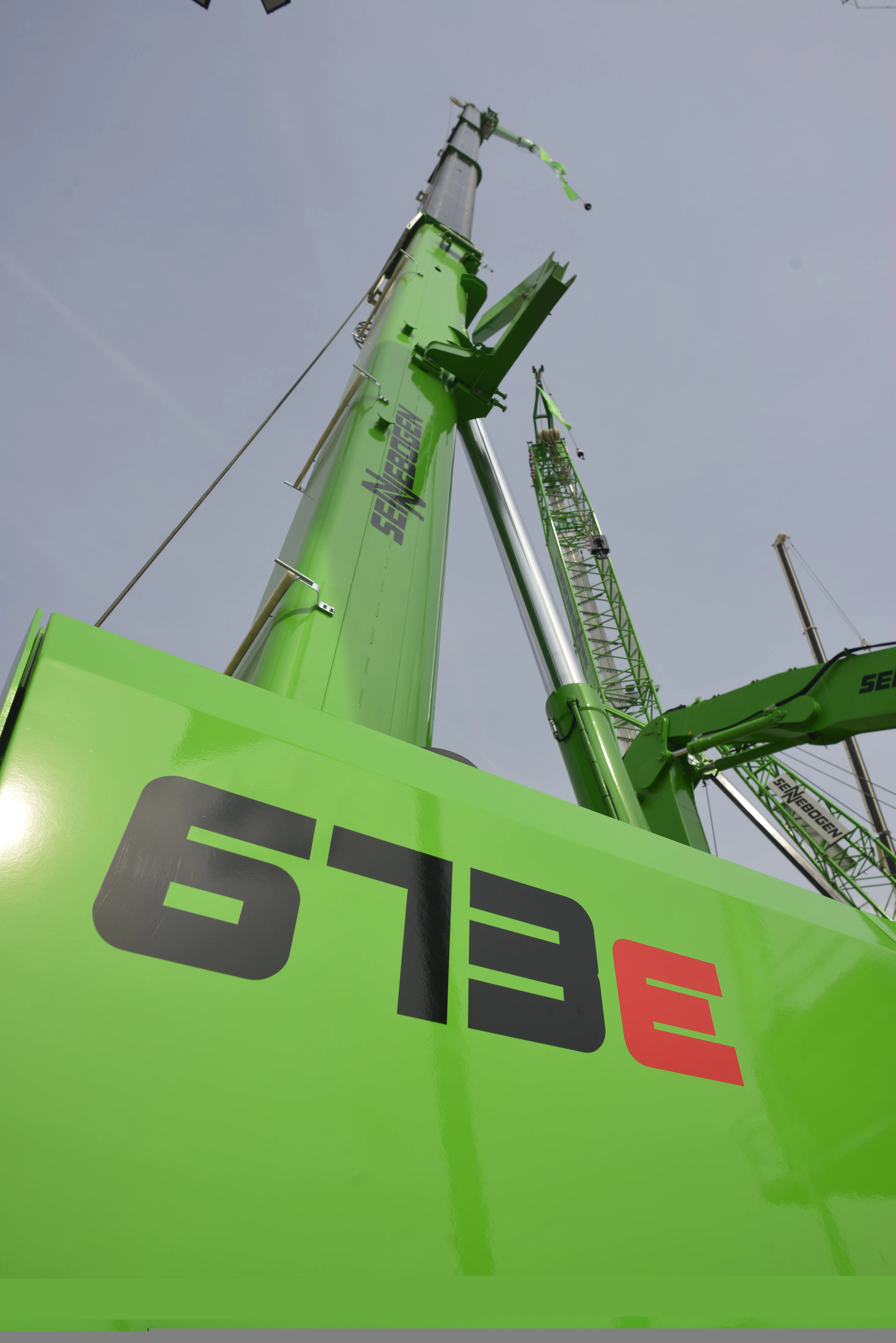
    Sennebogen has plugged the gap in its telescopic crawler crane range with the introduction of the 673R-HD. The 70tonne capacity machine sits between the firm’s 40 and 80tonne models, offering a 36m four-stage main boom with two fly booms of 8m and 15m. This gives a maximum reach of 51m. The 673R-HD is powered by a Stage IIIB/Tier 4 Interim standard Deutz engine delivering 160kW. Telescopic track frames allow for a maximum transport width of just 3m, with fast set-up on site as they extend out to provide sta
  • Pfreundt presents prototype wheeled loader weigh system
    February 12, 2013
    German company Pfreundt, a provider of weighing systems, is presenting a prototype for a new wheeled loader weighing system, which has initially been outfitted for markets in developing countries, for intralogistics and for agriculture and forestry. The new scale’s features include connection to the new Pfreundt web portal, self-assembly and calibration by dealers or customers, and a touch-screen with a simple, intuitive interface, similar to smartphones. Market launch is scheduled for 2014.
  • Trimble is offering more sophisticated GNSS receivers
    January 6, 2017
    Trimble says that it is increasing the capabilities of its integrated GNSS survey receiver range. This line-up includes the Trimble R4, Trimble R6, Trimble R8 GNSS systems and is rounded out by the latest Trimble R10 GNSS System. The new improvements being added include increased satellite tracking and Real Time Kinematic (RTK) performance. These modernise the integrated receiver portfolio to add functionality, flexibility and capability as well as providing more options for surveyors.
  • Trimble is offering more sophisticated GNSS receivers
    March 8, 2013
    Trimble says that it is increasing the capabilities of its integrated GNSS survey receiver range. This line-up includes the Trimble R4, Trimble R6, Trimble R8 GNSS systems and is rounded out by the latest Trimble R10 GNSS System. The new improvements being added include increased satellite tracking and Real Time Kinematic (RTK) performance. These modernise the integrated receiver portfolio to add functionality, flexibility and capability as well as providing more options for surveyors.