Topcon develops advanced software tool

Topcon Europe Positioning is offering upgrades to its MAGNET software products, which have benefited from the firm’s recent tie-up with Autodesk. The MAGNET Enterprise package is a cloud service that connects the firm’s Field and Office products and provides a web-based interface to company data and new versions of MAGNET Field and MAGNET Office are available.
January 6, 2017 Read time: 2 mins
5962 Topcon Europe Positioning is offering upgrades to its MAGNET software products, which have benefited from the firm’s recent tie-up with 685 Autodesk. The MAGNET Enterprise package is a cloud service that connects the firm’s Field and Office products and provides a web-based interface to company data and new versions of MAGNET Field and MAGNET Office are available. The MAGNET Field software runs on field controllers and on-board total stations, while MAGNET Office is a stand-alone office package for processing and modelling. This MAGNET system allows real-time collaboration between project manager, field crews, office personnel, engineers, or consultants and the updates to MAGNET Enterprise include a MAGNET Relay mobile base RTK broadcasting service, added tool tips for key icons and buttons and multiple improvements to Asset Manager.

The updates to the MAGNET Field package include quick codes, the ability to export GPS and TS raw data to user-defined formats using the new custom export formatter, viewing text from AutoCAD DWG files is now an option to import for viewing on the map. The improvements provide a 3D Viewer, can support SiteLink 3D connections, mean that simulation is available in all routines, allow more Calculate (COGO) routines and view options in map for Background Drawings and Surfaces. Meanwhile updates to MAGNET Office include new tools so that importing DWG for 64 Bit Systems is supported, has added a processing option to Assist Import from the Internet and has added an option to create points at tick intersections from AutoCAD drawings. It has also added annotations settings for two point arcs, a new option to create vectors from PDF files, an option to Trace PDF vector data, an option to Trace Raster data, an option to Elevate polylines during PDF trace, an option to Scale PDF data and SiteLink 3D interface and support.

%$Linker: 2 Asset <?xml version="1.0" encoding="utf-16"?><dictionary /> 2 12760 0 oLinkExternal www.topcon.eu www.topcon.eu false /EasySiteWeb/GatewayLink.aspx?alId=12760 false false%>

%$Linker: 2 Internal <?xml version="1.0" encoding="utf-16"?><dictionary /> 2 11560 0 oLinkInternal <span class="oLinkInternal"><span class="oLinkInternal">View more videos</span></span> Video false /event-news/bauma-2013/video/ true false%>

For more information on companies in this article

Related Content

  • Topcon’s swift solution for road surface data
    April 17, 2012
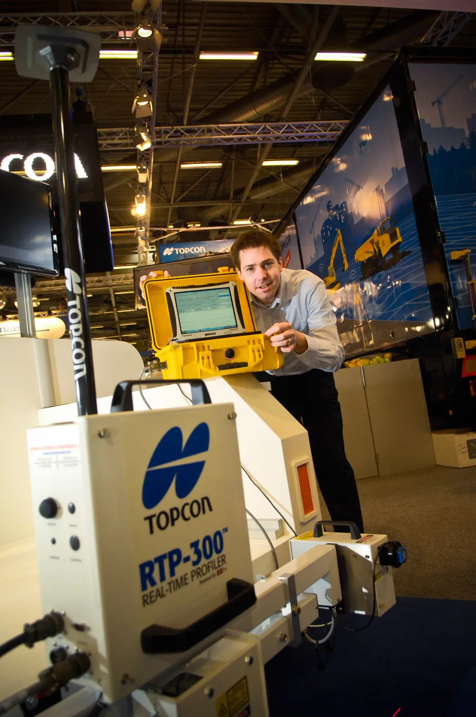
    Topcon’s RTP-300 machine, launched at INTERMAT, is no slouch in providing fast and exact road surface data for construction companies and highway authority consultants. “What is typically used is a car [fitted with road surface profiling technology] that needs to keep stopping when scanning a road surface profile. On larger highways, this has meant the road needs to be closed,” said Achiel Sturm, Topcon’s marketing manager.
  • Spectra Precision introduces new GNSS RTK rover
    January 6, 2017
    Spectra Precision is introducing its sophisticated ProMark 700 system, a GNSS network RTK rover aimed at duties in land survey applications. The unit weighs in at only 650grammes and is said to be the lightest GNSS RTK smart antenna available on the market. Its light weight, together with its compact and slim design, makes the unit the receiver portable and comfortable for field use. It features a long battery life, a rugged, waterproof design and a wide operating temperature range, allowing the ProMark 700
  • Spectra Precision introduces new GNSS RTK rover
    March 8, 2013
    Spectra Precision is introducing its sophisticated ProMark 700 system, a GNSS network RTK rover aimed at duties in land survey applications. The unit weighs in at only 650grammes and is said to be the lightest GNSS RTK smart antenna available on the market. Its light weight, together with its compact and slim design, makes the unit the receiver portable and comfortable for field use. It features a long battery life, a rugged, waterproof design and a wide operating temperature range, allowing the ProMark 700
  • Topcon 2LS launched at INTERMAT
    January 6, 2017
    Topcon Europe has introduced a new series of affordable lasers and levels under its new 2LS brand to bridge the gap between do-it-yourself lasers and industrial quality lasers and surveying instruments used on large construction and civil engineering projects.