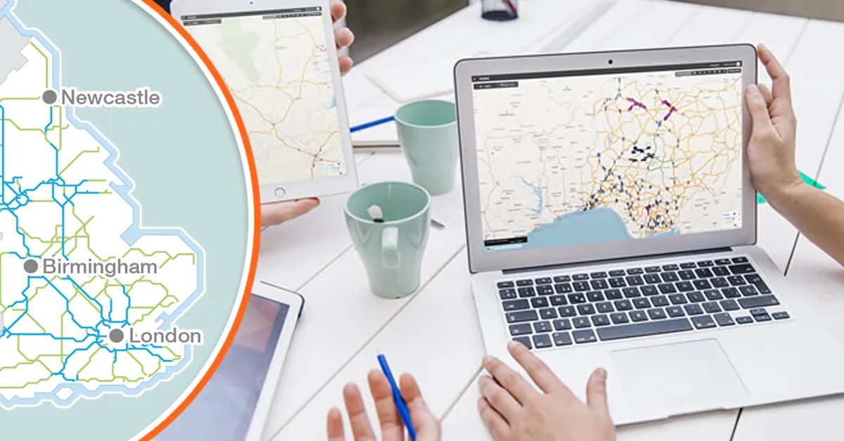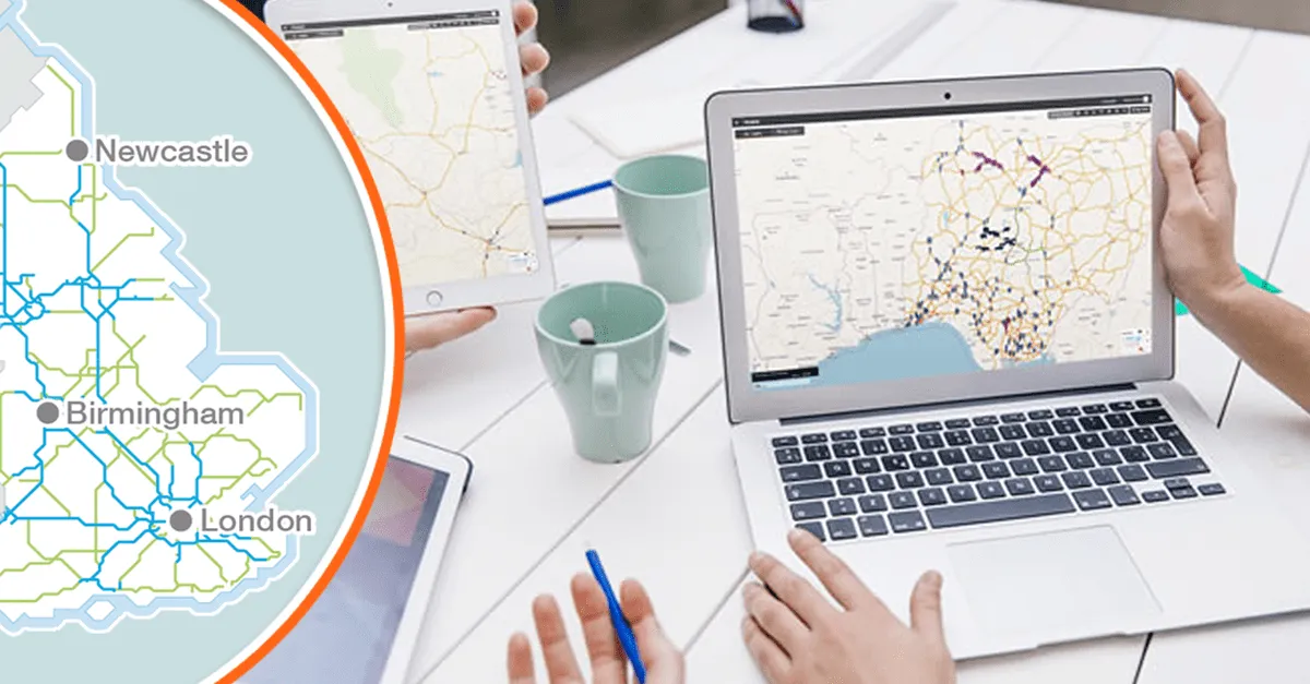
Ordnance Survey will be the future operator of the UK’s National Underground Asset Register. This comprehensive dataset will help speed access to underground utilities, as well as helping in reducing disturbance to traffic for road users by optimising maintenance and reinstatement works.
Guy Ledger, project director for the National Underground Asset Register at AtkinsRéalis, which worked with the Geospatial Commission to build the platform, said: “We are extremely proud of the work we have delivered in collaboration with the Geospatial Commission and over the coming months we look forward to supporting the transition to Ordnance Survey, enabling us to continue to build, refine and improve the functionality of the platform.
“Having successfully built a viable working platform, this is a really exciting moment as NUAR transitions to a public beta service giving planners and excavators standardised, secure, instant access to the data they need to carry out work effectively and safely.”
This complex project has three main challenges. It will engage with and collect data from over 700 asset owners and transform and ingest this data into a single comprehensive database. It will then develop a secure portal through which users can view and access this information.
NUAR was predicted to reduce the costs of data-sharing by an estimated £91 million/ year, by reducing the amount of time and resources asset owners and other stakeholders would have to spend making and answering queries. Understanding this benefit, but also the safety benefits to staff of having all the information available in one place, resulted in a good take-up from utilities providers. This allowed the launch of a minimum viable product (MVP) in spring 2023, which is now live across England and Wales. As more asset owners are onboarded, there is a snowball effect, with the value to asset owners of sharing data with NUAR increasing with each provider we have signed up.
The user portal has been developed collaboratively with users from the beginning as the first users have been onboarded. This is an ongoing process, with the team using a combination of user conversations, testing, and focus groups to help us develop a bespoke solution that will allow these users to access this critical infrastructure data securely and efficiently. Particular focus has gone into making it easy to use on a mobile, based on feedback that this will be a significant proportion of the user base.
ID 138689457
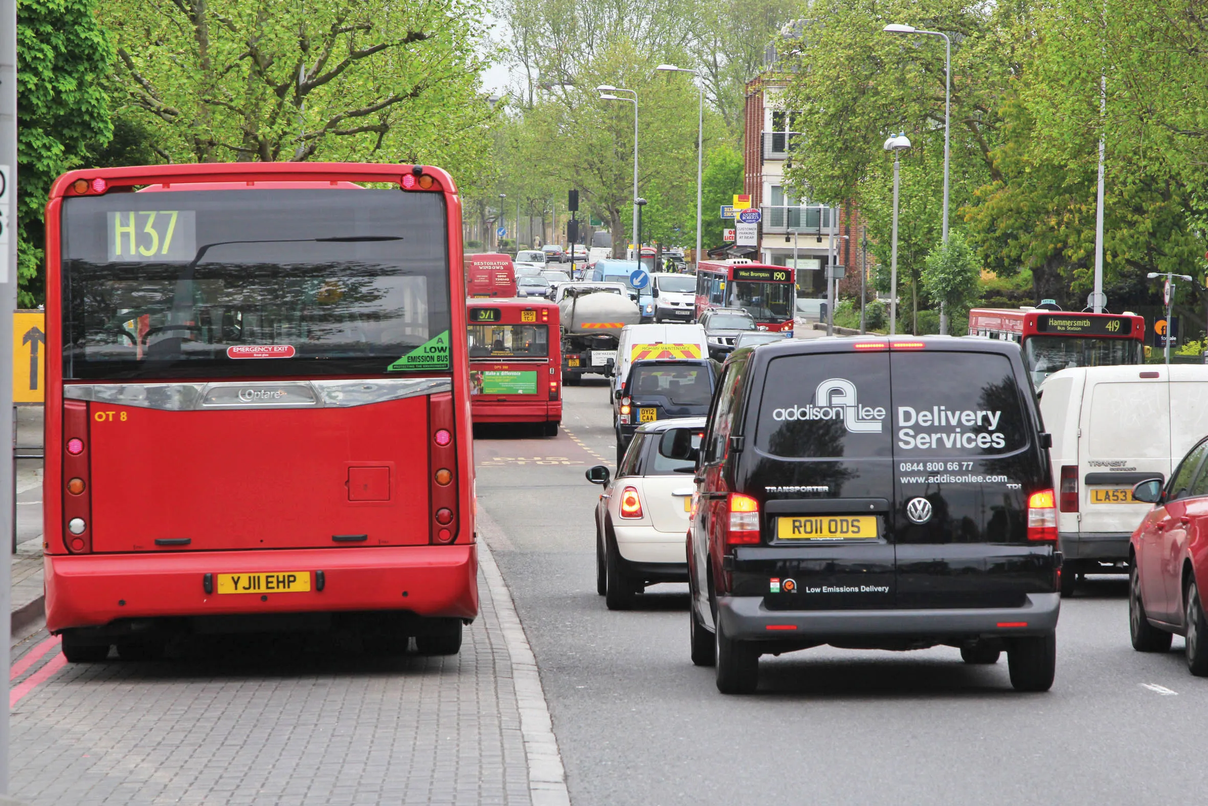
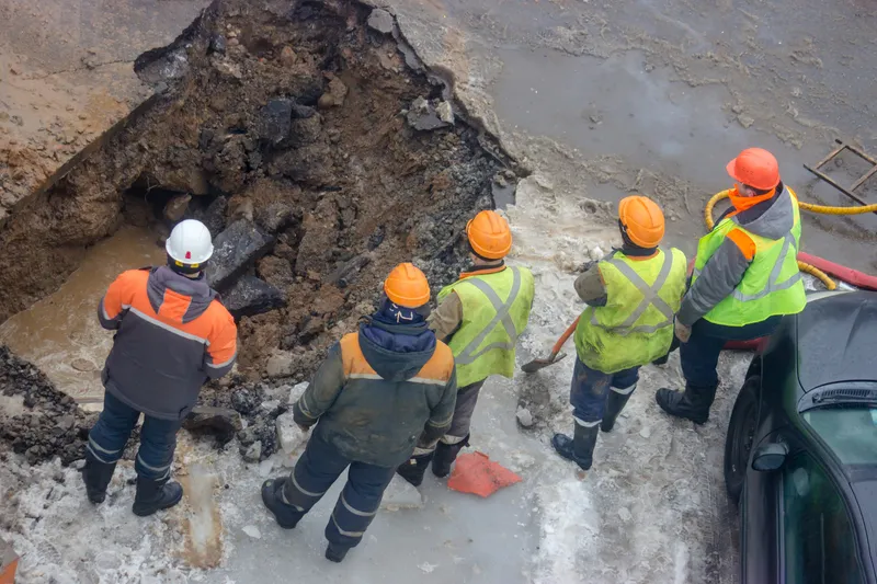
Knowing where utilities are located will help benefit repair works and reduce delays for road users – image courtesy of © Sviatlana Hladkaya| Dreamstime.com