Spanish researchers believe they have found a new way of measuring road-side air quality with an infrared camera system that can remotely measure vehicle emissions by scanning the unique infrared signatures of various pollutants such as carbon dioxide, carbon monoxide, nitrogen oxide, and so on.
Spanish researchers believe they have found a new way of measuring road-side air quality with an infrared camera system that can remotely measure vehicle emissions by scanning the unique infrared signatures of various pollutants such as carbon dioxide, carbon monoxide, nitrogen oxide, and so on.
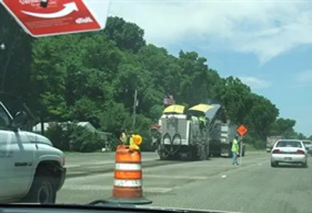
A fixed-point camera measures and then feeds the gas concentrations it has recorded into a sophisticated software program using a high-speed rotating wheel of lens filters to enable each unit to measure the quantity of emissions from the exhaust pipe of each passing vehicle, even if it is travelling at motorway speeds. The system produces a chemical fingerprint for each passing vehicle and builds up an emissions profile for the section of highway being monitored.
In a test case this summer, researchers from the Remote Sensing and Infrared Image Laboratory at the Universidad Carlos III in Madrid monitored and analysed the A6 motorway leading into Madrid. And, according to researcher Victor Gil Gonzalez, the team was quickly able “to quantify gas emissions and see which cars sending the most pollution into the air." The camera system also analyzed ratios, like the proportion of carbon monoxide to carbon dioxide, which in a properly functioning engine should remain low even during periods of heavy fuel consumption.
The project is not the first to use remote sensing to evaluate emission levels at the road-side, but it claims to be the first to be able to pinpoint the most environmentally damaging vehicles without reducing the capacity or flow rate of the road being measured. The clever thing about the new Spanish system is that it can provide real-time emissions data for a four-lane highway without disrupting traffic patterns, say the researchers.