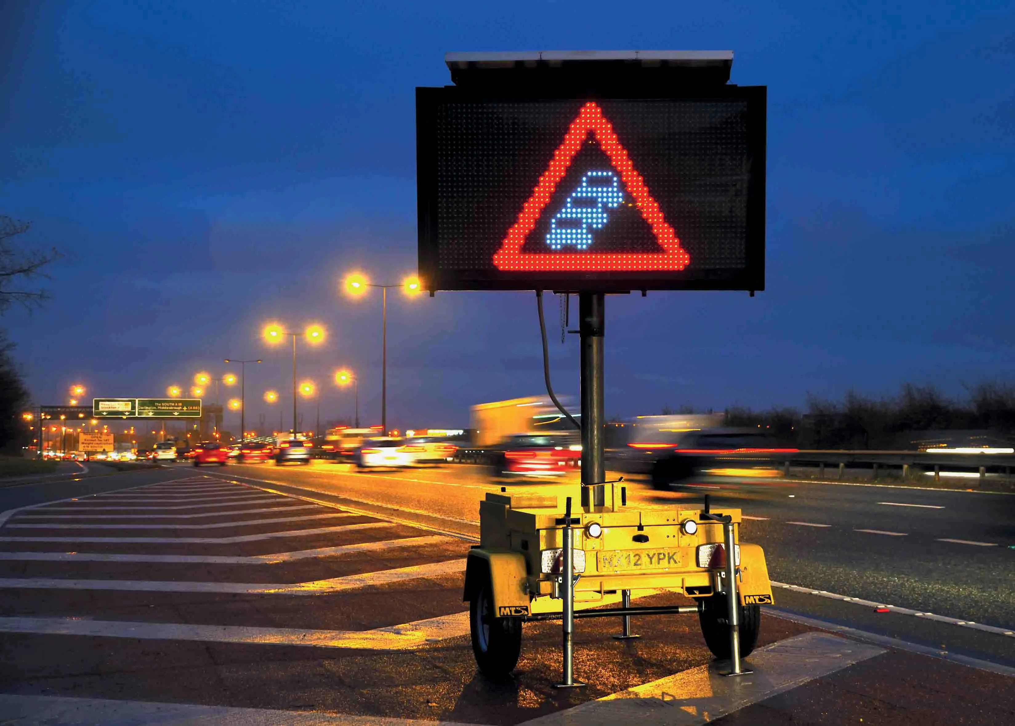
Inrix will collaborate with the Ohio Department of Transportation (ODoT) to use the company’s traffic information and cloud-based analytics to further the state’s goal of clearing roads statewide within three hours after major storms.
RSS5367 INRIX will collaborate with the Ohio Department of Transportation (ODoT) to use the company’s traffic information and cloud-based analytics to further the state’s goal of clearing roads statewide within three hours after major storms.
“Restoring travel to normal conditions as quickly as possible not only improves public safety but keeps people and commerce moving across the state,” said Ted Trepanier, senior director of public sector, Inrix. “We’re providing Ohio with an objective, data-driven approach for assessing the performance of their weather response efforts for every storm, on every route statewide.”
Response time measurement is one of ODoT’s critical success factors used to assess performance at the state and district level. The agency will use information from roadway weather information stations and Inrix traffic speed data to determine the time required to clear roads and return travel conditions to normal on more than 400 key routes statewide.
In addition to major weather events, ODoT also will use Inrix traffic speed data and analytics to assess travel time reliability on key corridors throughout the day. The company will help identify hours between 5:00am and 9:00pm when speeds are below the speed limit to assess operational strategies and pinpoint locations that would benefit most from highway improvements.