MOBA continues to develop its novel MDS-2000 drilling system. This package has already proven itself in use for blast hole drilling in many operations and can now be used to record the orientation of the machine with GNSS antennae and the height using laser reference. With telesupport, MOBA also offers fast service through an Internet connection. By recording the machine orientation using two GNSS antennae, the torsion on the machine can be determined with very high accuracy and included in the calculation
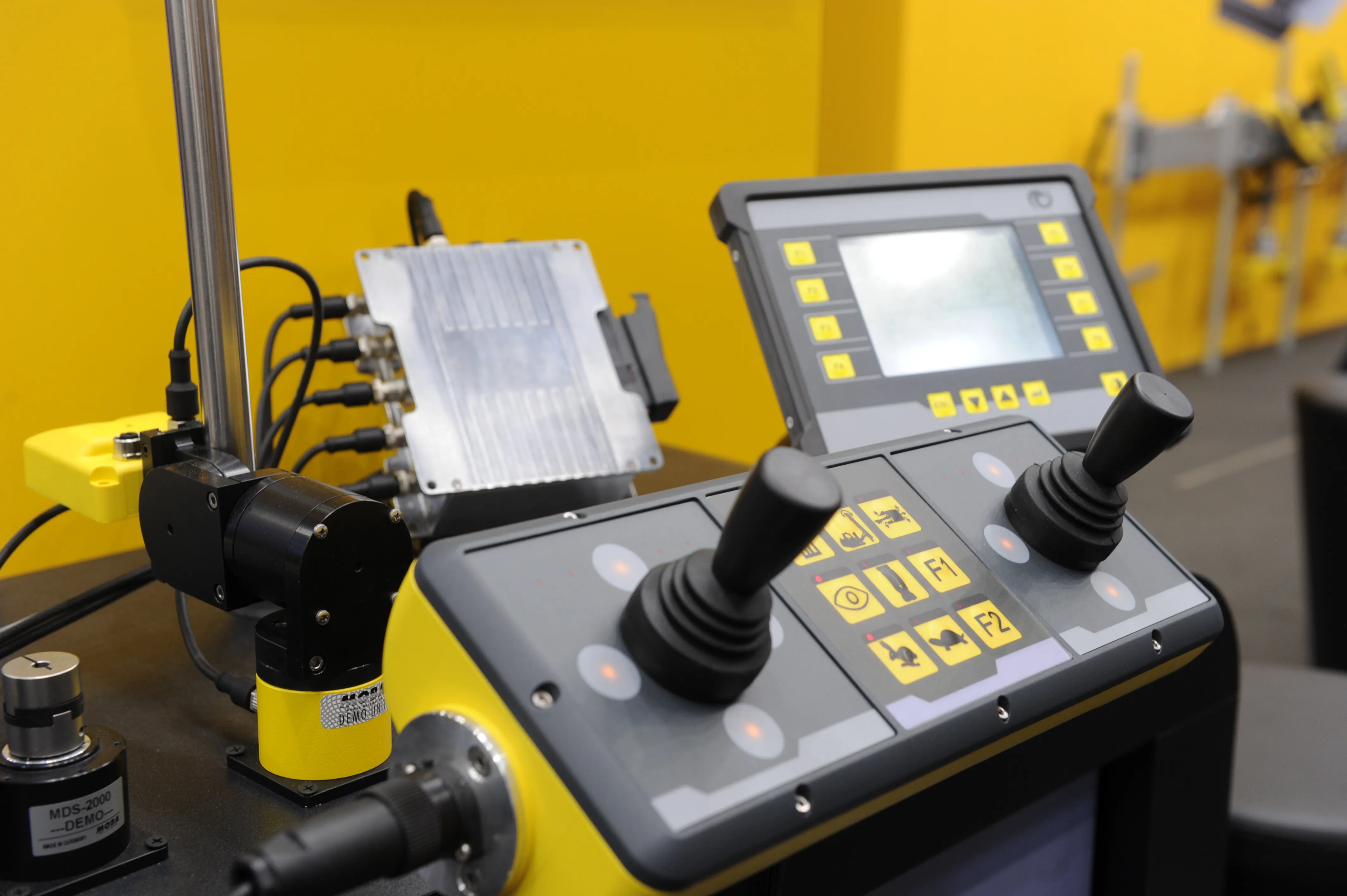
By recording the machine orientation using two GNSS antennae, the torsion on the machine can be determined with very high accuracy and included in the calculation of the drilling angle. This simplifies and speeds up drill-hole planning. The orientation can be determined without problem during bad weather conditions and in darkness.
Height detection is offered using laser reference, so drill holes can be drilled to the same depth, even if the ground is uneven. Ensuring that the drill holes are parallel and to uniform depth is crucial for effective and efficient blasting, minimising the risk of an uneven quarry floor and also reducing problems of over and under sized product. This also lowers the risk of fly-rock, improving safety.
A telesupport option allows the system to be accessed remotely and using an Internet connection, the MOBA service team can perform updates and service quickly without requiring on-site service calls. The MDS-2000 package determines and stores drilling angle, depth, time, GPS position and motor data of the rig and the system uses this information for efficient drill-hole planning.
All data can be viewed at any time and from anywhere using a web interface. In addition, the system also records and stores drill-head data such as torque, driving force and contact pressure. This information ensures that the drilling speed can be optimised and bit and string wear minimised.
Stand: A3.227/326
%$Linker: