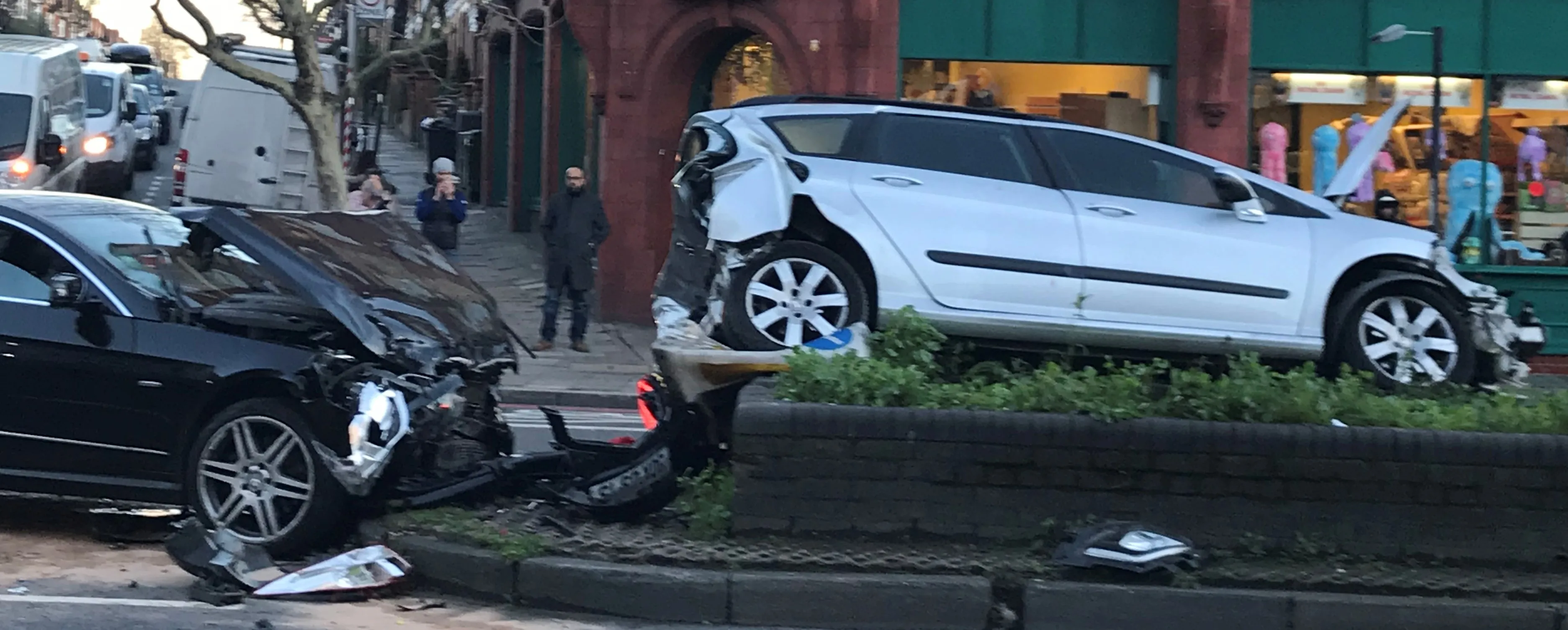
London’s Metropolitan Police Service is using the latest desktop mapping software to collate essential data about road traffic collisions. The advanced Geographical Information System (GIS) from GGP Systems in being used to identify and map the exact location of incidents where a personal injury has occurred and prepare detailed reports for the Department for Transport (DfT) and Transport for London (TfL). This can be used to highlight problem areas, with plans for improving infrastructure then being drawn
June 27, 2013
Read time: 2 mins
London’s 5059 Metropolitan Police Service is using the latest desktop mapping software to collate essential data about road traffic collisions. The advanced Geographical Information System (GIS) from GGP Systems in being used to identify and map the exact location of incidents where a personal injury has occurred and prepare detailed reports for the 5432 Department for Transport (DfT) and 2387 Transport for London (TfL). This can be used to highlight problem areas, with plans for improving infrastructure then being drawn up.
Figures published by TfL shows that the total number of people killed or injured on the capital’s roads has fallen to its lowest since records began in the mid-1980s. In 2011 there were 159 fatalities on London’s road network; 25% lower than the average figure between 2005 and 2009. TfL also released a draft Road Safety Action Plan for the Capital that will cover the next eight years and outlines 70 proposed measures to improve the Capital's roads. This plan sets a target of a 40% reduction in killed or seriously injured (KSI) on London's roads by 2020.
Figures published by TfL shows that the total number of people killed or injured on the capital’s roads has fallen to its lowest since records began in the mid-1980s. In 2011 there were 159 fatalities on London’s road network; 25% lower than the average figure between 2005 and 2009. TfL also released a draft Road Safety Action Plan for the Capital that will cover the next eight years and outlines 70 proposed measures to improve the Capital's roads. This plan sets a target of a 40% reduction in killed or seriously injured (KSI) on London's roads by 2020.


