Leica’s new Digicat xf-Series cable locators and transmitters

Leica Geosystems has launched the latest editions to the Digisystem product range: the Leica Digicat xf-Series. With Leica Geosystems’ new xf-Series cable locators and transmitters, users are said to be able to accurately detect and trace utilities faster and over a greater distance. The Leica Digicat xf-Series is said by the Swiss firm to have been specifically designed with long distance tracing in mind. The ability to trace transmitter frequencies of 512Hz and 640Hz provides users with a greater tracing r
January 28, 2013 Read time: 2 mins
265 Leica Geosystems has launched the latest editions to the Digisystem product range: the Leica Digicat xf-Series.

With Leica Geosystems’ new xf-Series cable locators and transmitters, users are said to be able to accurately detect and trace utilities faster and over a greater distance.

The Leica Digicat xf-Series is said by the Swiss firm to have been specifically designed with long distance tracing in mind. The ability to trace transmitter frequencies of 512Hz and 640Hz provides users with a greater tracing range as well as the ability to locate sewer-camera inspection systems. All new models are said by Leica to represent the latest design in cable technology. With modern Digital Signal Processing (DSP) and intelligent software, the locators, says Leica, continue to make light work of ground surveys.

All new models of the Leica Digicat xf-Series are said to make locating underground cables and pipes a simple and efficient task, increasing the operator’s productivity. The Digicat 550i xf and 650i xf offer users the added benefit of depth estimation.

The Digicat 600i xf and 650i xf locators have the added benefit of an internal 32MB memory and Bluetooth wireless connectivity. Both models are said to integrate seamlessly with mobile mapping technology to log survey data, in addition to enabling wireless Bluetooth data transfer.

The newly developed Leica Digitex xf signal transmitters deliver a higher power output than previous models with the addition of extra low tracing frequencies. This improved performance is said by Leica to allow users to trace services over a greater distance, improve service detection in areas of high signal interference and to improve depth estimation when using a depth locator.
%$Linker: 2 Internal <?xml version="1.0" encoding="utf-16"?><dictionary /> 2 11560 0 oLinkInternal <span class="oLinkInternal"><span class="oLinkInternal">View more videos</span></span> Video false /event-news/bauma-2013/video/ true false%>

For more information on companies in this article

Related Content

  • Machinery/material control with Ma-estro’s Transport Q
    January 6, 2017
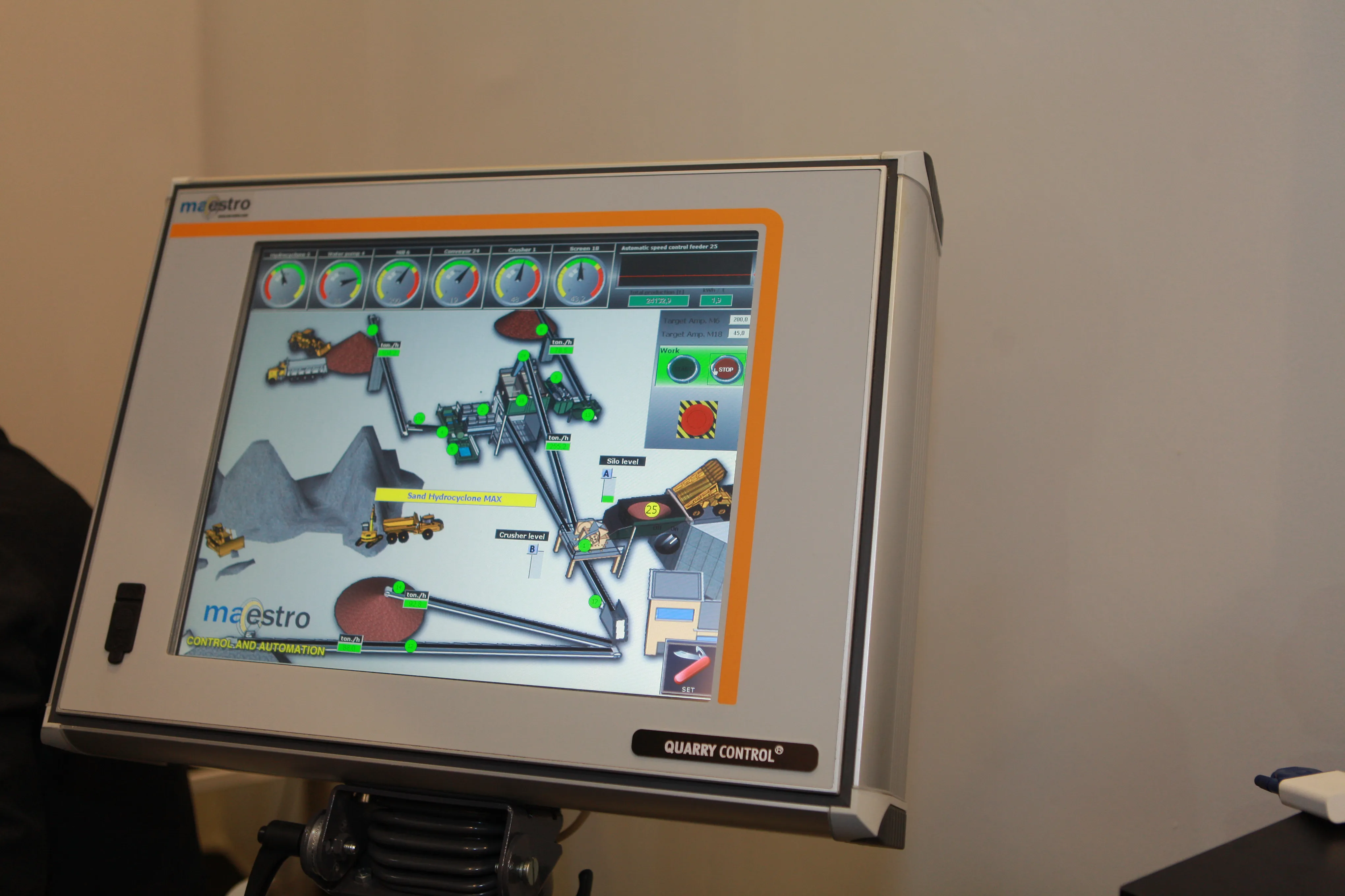
    Italian company Ma-estro has developed the Transport Q control system for the control of material and machinery movement on large road building sites and in quarries. It says that on building sites characterised by highly dynamic situations, the main problem has been that of tracing the movements of equipment and materials entering and leaving the site, and doing this automatically, safely and accurately. “A control system entrusted to a number of persons in continuous rotation, where external personnel pay
  • Machinery/material control with Ma-estro’s Transport Q
    February 26, 2013
    Italian company Ma-estro has developed the Transport Q control system for the control of material and machinery movement on large road building sites and in quarries. It says that on building sites characterised by highly dynamic situations, the main problem has been that of tracing the movements of equipment and materials entering and leaving the site, and doing this automatically, safely and accurately. “A control system entrusted to a number of persons in continuous rotation, where external personnel pay
  • From Topcon comes a sophisticated mapping system
    January 6, 2017
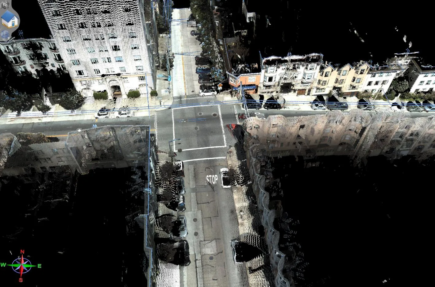
    Topcon Europe Positioning says that its new IP-S2 Compact+ package is an innovative mobile mapping system that can accurately measure objects even in adverse weather conditions and enclosed job sites such as tunnels and mines. This replaces the earlier Topcon’s IP-S2 system, launched in 2009. The new vehicle-mounted system has improved scanner orientation to optimise visibility of roadside assets and is packaged in an affordable, compact system that fits on a car or truck. It offers full-colour, high-resolu
  • From Topcon comes a sophisticated mapping system
    February 8, 2013
    Topcon Europe Positioning says that its new IP-S2 Compact+ package is an innovative mobile mapping system that can accurately measure objects even in adverse weather conditions and enclosed job sites such as tunnels and mines. This replaces the earlier Topcon’s IP-S2 system, launched in 2009. The new vehicle-mounted system has improved scanner orientation to optimise visibility of roadside assets and is packaged in an affordable, compact system that fits on a car or truck. It offers full-colour, high-resolu