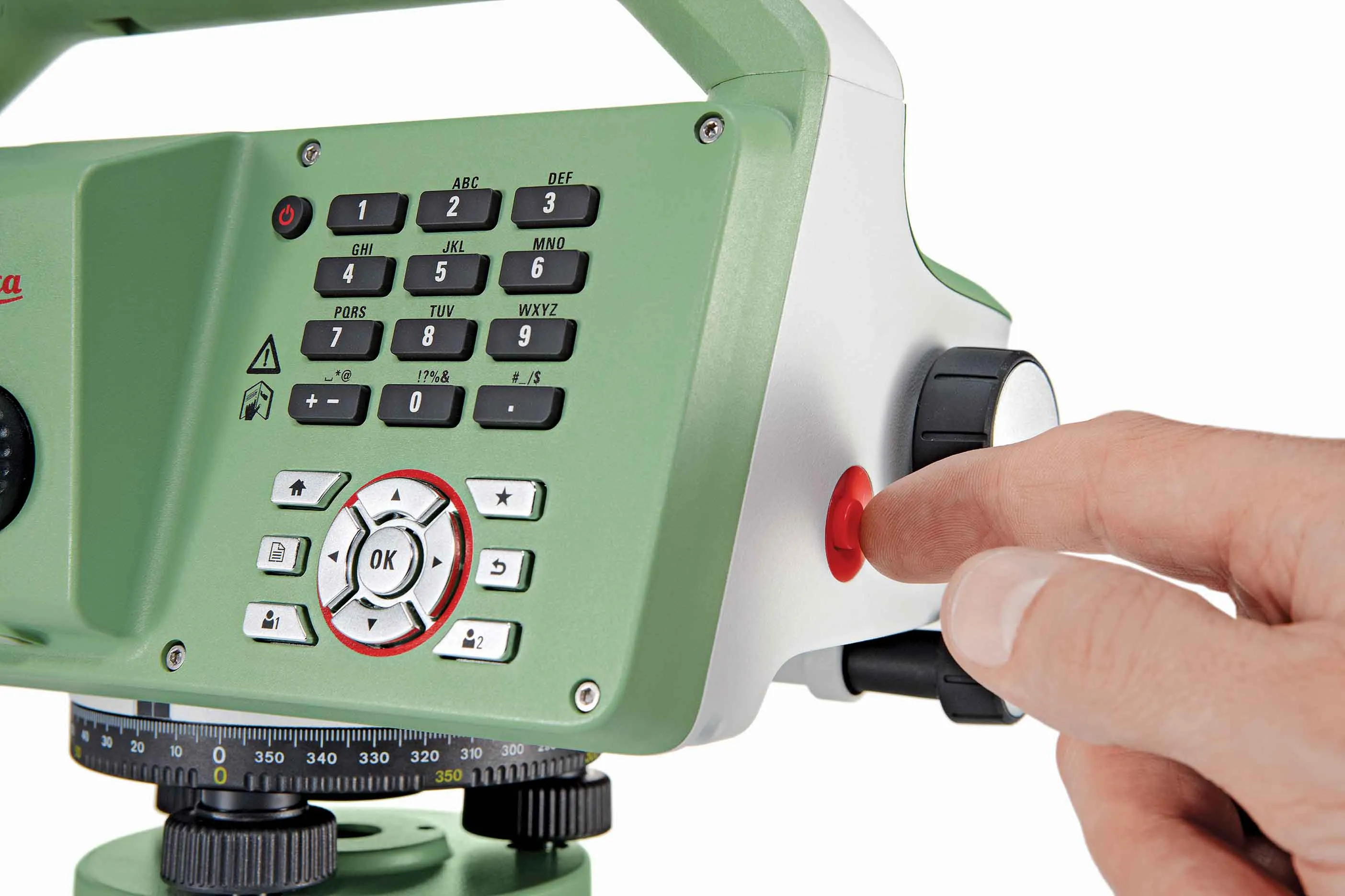
Leica believes that digitisation is the key to improving efficiency and lowering costs

The digitisation of the construction process will give greater transparency on costs at the site and ultimately lead to improved productivity and efficiency in the industry, said Johan Arnberg, president of Leica Geosystems Machine Control Division, speaking at a Leica roundtable on digitisation of the construction industry held at bauma. The data gathered by the new generation of digitised construction machines and tools will enable contractors and owners for the first time to put key performance indicator
April 20, 2016 Read time: 2 mins
Johan Arnberg, Katherine Broder, Bradley Jacobs and Sten Kristensen of Leica Geosystems

The digitisation of the construction process will give greater transparency on costs at the site and ultimately lead to improved productivity and efficiency in the industry, said Johan Arnberg, president of 265 Leica Geosystems Machine Control Division, speaking at a Leica roundtable on digitisation of the construction industry held at bauma. The data gathered by the new generation of digitised construction machines and tools will enable contractors and owners for the first time to put key performance indicators in place to enable them to monitor and analyse progress and identify problems and possibilities for improved processes.

The major cost of construction projects tends to be in the execution phase.

Digitisation will provide the data for projects to be planned more carefully and in more detail. As a result, the planning phase may become longer, but the execution phase will be shorter through greater efficiency and less mistakes, said Arnberg.

A concern often raised in discussions of digitisation is that machines and tools will become too complex for operators. Arnberg countered this by explaining that although Leica had started out as an engineering-led company, it had transformed itself into a customer-led company, so operators have an important input into the development of its products. Katherine Broder, vice-president, Leica Geosystems Tools Division, agreed that tools need to be simple for operators and said that Leica had been working towards this for the past seven years. Bradley Jacobs, program manager – software for Leica Geosystems Machine Control Division, added that the company hides the complexity of its technology behind simple user interfaces.

Digitisation is likely to happen at different rates in different countries, said Sten Kristensen, director of product management for Leica Geosystems Machine Control Division. There needs to be an underlying infrastructure in place that can support digital machines and tools, and this is at different stages in different regions. Progress is likely to be rapid in areas such as Scandinavia, the UK and Japan.

For more information on companies in this article

Related Content

  • Leica’s new Digicat xf-Series cable locators and transmitters
    April 3, 2013
    Leica Geosystems has launched the latest additions to the Digisystem product range: the Leica Digicat xf-Series. With Leica Geosystems’ new xf-Series cable locators and transmitters, users are said to be able to accurately detect and trace utilities faster and over a greater distance. The Leica Digicat xf-Series is said by the Swiss firm to have been speci?cally designed with long distance tracing in mind. The ability to trace transmitter frequencies of 512Hz and 640Hz provides users with a greater tracing
  • Hexagon buys SCCS, a supplier of Leica Geosystems in the UK
    January 13, 2016
    Hexagon has acquired Paul MacArthur Limited, SCCS – a UK supplier of surveying equipment to the engineering and infrastructure market and a Leica Geosystems distributor for over 20 years. SCCS, based in Cambridge, England, provides surveying solutions across the country, offering customers rent, purchase and service options in the road, rail and construction projects. “As the UK continues to fund major infrastructure projects with more stringent processes related to Building Information Modelling (BIM
  • Revolutionary cable locator
    June 19, 2012
    Leica Geosystems says its new Leica Digicat 600i and 650i series, with Logicat software, is set to revolutionise underground cable location. The 600i and 650i, fitted with what Leica says is an innovative data capture and on-board memory function, is said to aid operations management moves to increase onsite safety by detecting cables and identifying operator training needs. Locating underground cables and pipes is said to be a simple and efficient task with the 600i and 650i series, boosting the operator’s
  • Faster surveying with Leica Geosystems
    June 16, 2016
    Leica Geosystems says that the new LS15 tool can be used to complete all the key stages for levelling. The system has a high accuracy of 0.2mm, which can be achieved by aiming at the target via the colour touch display and pressing the measuring button. Key working features include an electronic bubble and tilt checks prior to each measurement and autofocus. These are said to help to reduce fatigue over a shift and help minimise the risk of working errors, ensuring consistently high accuracy of measureme