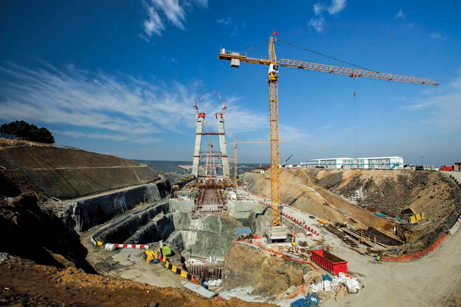
The upgrading of Highway 1 between Sha'ar Hagay and the entrance to Jerusalem, Israel, a 2.5 billion NIS project (US$733 million), is expected to take five years to complete.
The upgrading of Highway 1 between Sha'ar Hagay and the entrance to Jerusalem, Israel, a 2.5 billion NIS project (US$733 million), is expected to take five years to complete.
Highway 1 is the main highway connecting Tel Aviv with Jerusalem, and is heavily congested, especially at the entrances to Tel Aviv and Jerusalem. The section between Sha'ar Hagay and Jerusalem is also congested at times because of the many accidents and breakdowns caused by the high slopes and winding nature of the section.
The latest works include shortening the route by several kilometres; expanding the road to three lanes in each direction and constructing interchanges, tunnels and bridges.
The work will be executed by INRC, which will publish tenders for the project over the coming months.
According to the plan, the road segment between the Sha'ar Hagay and Shoresh interchanges will be elevated so as not to damage surroundings and the environment. A new interchange will be built in Ramat Ilan, 700m before the Shoresh interchange, and an ecological bridge will be built that will connect the two sides of the highway and enable pedestrians and animals to cross the road.
The road to Abu Gosh, Ein Rafa and Ein Nakuba will run under the main highway, while the old Ein Hemed Bridge will be replaced with a new bridge.
Harel interchange will also be replaced by two 650m long tunnels that will pass under the crest and improve access to Mevaseret Zion. Nearby, a park and go parking area will be built with shuttle services to Jerusalem and back.
At the Motza Curve, the dangerous section will be removed and two parallel 800m long bridges will be constructed over the Motza Valley, Arazim Valley and Arza Stream, each with three lanes.
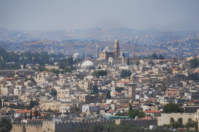
At the entrance to Jerusalem, it is planned that the constant traffic jams will be ended with the connection to Road 9 leading to the north of the city, and Road 16 that will be constructed in the future connecting Motza to Givat Mordechai, providing an additional entrance south of the city. An interchange will be built at Ginot Sakharov.
INRC has also published a tender for the construction of an interchange at Golani Junction, one of the worst bottlenecks in northern Israel. It will become an interchange within three years. The junction lies on the roads between central Israel and Tiberias.
The project, part of the Israel Routes programme will cost some NIS 350 million ($102.5 million).
The interchange will be the first of seven interchanges that will be built along Road 77 in order to create an uninterrupted and unsignalised route from the centre to the north of Israel.
Highway 1 is the main highway connecting Tel Aviv with Jerusalem, and is heavily congested, especially at the entrances to Tel Aviv and Jerusalem. The section between Sha'ar Hagay and Jerusalem is also congested at times because of the many accidents and breakdowns caused by the high slopes and winding nature of the section.
The latest works include shortening the route by several kilometres; expanding the road to three lanes in each direction and constructing interchanges, tunnels and bridges.
The work will be executed by INRC, which will publish tenders for the project over the coming months.
According to the plan, the road segment between the Sha'ar Hagay and Shoresh interchanges will be elevated so as not to damage surroundings and the environment. A new interchange will be built in Ramat Ilan, 700m before the Shoresh interchange, and an ecological bridge will be built that will connect the two sides of the highway and enable pedestrians and animals to cross the road.
The road to Abu Gosh, Ein Rafa and Ein Nakuba will run under the main highway, while the old Ein Hemed Bridge will be replaced with a new bridge.
Harel interchange will also be replaced by two 650m long tunnels that will pass under the crest and improve access to Mevaseret Zion. Nearby, a park and go parking area will be built with shuttle services to Jerusalem and back.
At the Motza Curve, the dangerous section will be removed and two parallel 800m long bridges will be constructed over the Motza Valley, Arazim Valley and Arza Stream, each with three lanes.
At the entrance to Jerusalem, it is planned that the constant traffic jams will be ended with the connection to Road 9 leading to the north of the city, and Road 16 that will be constructed in the future connecting Motza to Givat Mordechai, providing an additional entrance south of the city. An interchange will be built at Ginot Sakharov.
INRC has also published a tender for the construction of an interchange at Golani Junction, one of the worst bottlenecks in northern Israel. It will become an interchange within three years. The junction lies on the roads between central Israel and Tiberias.
The project, part of the Israel Routes programme will cost some NIS 350 million ($102.5 million).
The interchange will be the first of seven interchanges that will be built along Road 77 in order to create an uninterrupted and unsignalised route from the centre to the north of Israel.