IRIUM launches web, mobile and reporting modules for its ERP software

IRIUM Group, a French software developer dedicated to the construction equipment distributor, rental and repair company market, has introduced modules to give users greater accessibility to its enterprise resource planning (ERP) application.
January 6, 2017 Read time: 2 mins
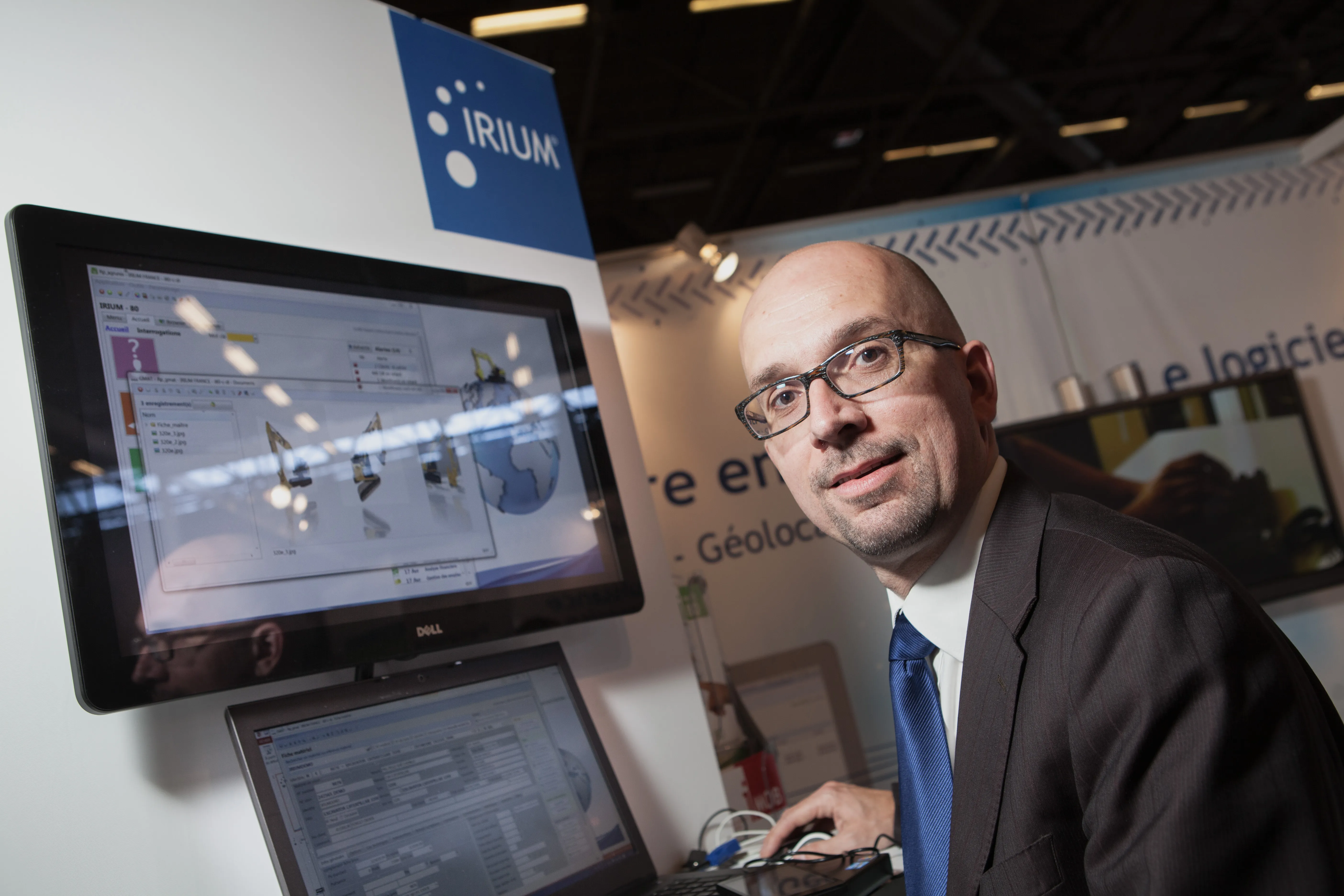
Nicolas Crouzevialle, solutions manager, IRIUM

7983 IRIUM Group, a French software developer dedicated to the construction equipment distributor, rental and repair company market, has introduced modules to give users greater accessibility to its enterprise resource planning (ERP) application. iWEB Client is a module that enables users of IRIUM to give access to the application to their end-user customers. For example, a construction equipment repair company can give its customers access to information about its vehicles, such as the number of vehicles undergoing maintenance and their history of repair. “The iWEB Client module gives end-users more after-sales information and enables them to anticipate potential problems,” says Nicolas Crouzevialle, solution manager for IRIUM.

The iMOB Service enables field technicians to access the IRIUM software via smartphones or tablets to get information while they are on site and to upload information back to the office. Mechanics and other technicians can receive data about jobs and parts and also record and submit further requests and orders from clients. A geolocation function allows a dealer to identify the nearest technician to a problem site and instantly send instructions to find the site and the nature of the problem. The iReporting module enables users to pull information from the IRIUM system directly into an Excel spreadsheet for calculation, analysis and reporting. The module allows users to create dashboards to better visualise performance and other information – a facility that is particularly useful during difficult economic periods, says Crouzevialle.

Other modules planned for release are a workflow module to automate and improve administrative efficiency, and a financial data exchange module for France and Germany that uses the EBICS data exchange format. “Web, mobility, information visibility and administrative efficiency will continue to be the main themes of our software development,” says Crouzevialle.

For more information on companies in this article

Related Content

  • Leica Geosystems’ tools for site monitoring and handling GPR data
    October 11, 2017
    Leica Geosystems is offering new tools for construction firms for remote monitoring and for handling data from ground penetrating radar. With the GeoMoS Imaging package, users can stay up-to-date on remote monitoring; the live view allows observation and recording of areas of interest. A joystick provides remote access to the total station so that personnel can increase productivity and reduce time in the field.
  • More accurate mapping
    July 31, 2024

    Trimble and Radiodetection have established a collaboration to improve the technology used in the utility measurement and mapping process. Through the integration of the Trimble Catalyst DA2 GNSS system and Radiodetection’s RD MapTM+ application and precision locator products, the software and hardware integration streamlines utility-locating workflows. This can provide high-accuracy measurement capabilities for the generation of underground utilities maps in a single field operation. 

  • HxGN Live 2014: Leica CEO highlights IT-led road construction and mining gains
    June 4, 2014
    Leica Geosystems’ CEO and president Jürgen Dold has highlighted to HxGN 2014 Live delegates how dynamic geospatial systems are creating more effective and safer workflows on road construction sites and in mining.
  • Asset management and BIM solutions offer cost efficiency
    May 22, 2018
    New technology will help deliver projects more efficiently – Mike Woof writes. An array of new software and hardware tools are coming to market that can boost working efficiency for construction projects. Technology company thinkWhere is helping to improve collaboration and communication on Scotland’s largest road infrastructure project. Providing online access to multiple layers of live project maps and geographical data, the firm’s groundMapper software offers a web-based viewer that is allowing the co