Inrix Analytics announced

Inrix has introduced what it claims is the industry's first cloud-based data analytics services designed to improve how transportation agencies monitor, manage and measure the performance of their road networks. "Now more than ever, government agencies worldwide are being required to stretch and justify every dollar invested in transportation - being asked to do more with less," said Rick Schuman, Inrix VP of public sector.
May 4, 2012 Read time: 2 mins
5367 INRIX has introduced what it claims is the industry’s first cloud-based data analytics services designed to improve how transportation agencies monitor, manage and measure the performance of their road networks. “Now more than ever, government agencies worldwide are being required to stretch and justify every dollar invested in transportation – being asked to do more with less,” said Rick Schuman, Inrix VP of public sector. “Inrix Analytics offers agencies a simple to use, proven tool that improves how they allocate transportation funds and evaluate investments.”

Inrix says its new service helps agencies drive cost out of daily operations, pinpoint areas that most benefit from road and transit improvements and better measure the impact of their investments. For instance, a customisable daily dashboard shows an immediate view of traffic conditions on key bottlenecks and other pain points highlighting duration of delay for each slowdown in comparison to free flow and expected travel times.  Inrix Analytics seamlessly integrates agency sensor, incident and work zone data with information from the company’s crowd-sourced smart driver network, covering more than two million roadway miles and interchanges, enabling agencies to gain insight into conditions in areas previously blind to operations. improving public safety and reducing incident delay costs.

Thus, through a more thorough and complete view of the road network by segment, by day, by hour, agencies can identify the severity of traffic at various chokepoints with much greater precision.  By pinpointing areas that offer maximum benefit from improvements, agencies can invest limited transportation dollars with greater confidence.

Inrix says it will begin offering the service starting in North America in January 2012 and to agencies in markets worldwide by the end of the year.

For more information on companies in this article

Related Content

  • Sophisticated plotting
    February 7, 2012
    Leica Geosystems is offering its improved SpiderWeb v4.0 package as part of the new reference station software update. This improved suite of solutions also includes the GNSS Spider v4.0 and SpiderQC v4.0 packages.
  • Rolls Royce Power Systems opening remanufacturing facility
    January 25, 2024
    Rolls Royce Power Systems is opening a remanufacturing facility in South Carolina.
  • ASECAP: maintenance mindshift turns spending into investment
    August 4, 2017
    With an estimated value of €8 trillion, the road infrastructure is probably the European Union’s largest single asset. It accounts for 83% of passenger journeys and more than 70% of freight movement. Despite this importance, global investment in roads - especially maintenance - has fallen, said Christophe Nicodeme, European Road Federation secretary general. There are grave consequences, noted Nicodeme in his opening keynote address to the recent Study and Information Days gathering, an annual event for mem
  • Hamm | Self-monitoring in earthworks via Smart Doc
    April 1, 2021
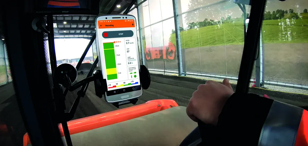
    With Smart Doc, Hamm presents an app with which compaction in earthworks can be transparently documented and the result shared with third parties. The lean app was developed in close coordination with building practitioners. The focus here was on the possibility of self-monitoring when it comes to compaction in earthworks. Smart Doc also fulfils the minimum requirements of continuous compaction control (CCC). With an intuitive user interface, the app also creates added value when training new roller operators, as all relevant compaction parameters are visualised in real time on the smartphone.