iCode and AMG-Panogenics in strategic technology partnership

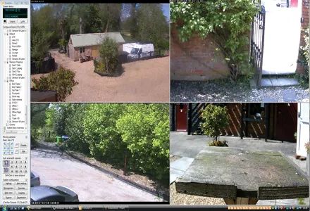
AMG-Panogenics, the British manufacturer of 5 Megapixel cameras, has entered a strategic technology partnership with UK based iCode Systems, a leading consultancy and software development house specialised in bespoke client systems. Under the new agreement iCode will integrate PanoCam360 into its flagship iCatcher solution, a digital CCTV application that allows transport sector companies, among others, to deploy industry standard hardware to create a comprehensive security system.
July 18, 2012 Read time: 1 min
6237 AMG-Panogenics, the British manufacturer of 5 Megapixel cameras, has entered a strategic technology partnership with UK based 6238 iCode Systems, a leading consultancy and software development house specialised in bespoke client systems. Under the new agreement iCode will integrate PanoCam360 into its flagship iCatcher solution, a digital CCTV application that allows transport sector companies, among others, to deploy industry standard hardware to create a comprehensive security system.

The PanoCam360 is a fully-featured 360 degree intelligent security camera with all image processing carried out on board and enables the generation of multiple images including panoramas and de-warped 'views' of different areas, all the while maintaining a high-resolution overview for constant no-hiding-place surveillance and recording.

For more information on companies in this article

Related Content

  • Circular highways is a necessity not an aspiration – and it’s within our grasp
    December 10, 2021
    Shell is helping power the journey towards a circular paving industry with Shell Bitumen LT R, a new product for roads that uses plastics destined for landfill as part of the additives to make the bitumen.
  • EarthSense Systems releases air pollution map of the UK
    June 15, 2018
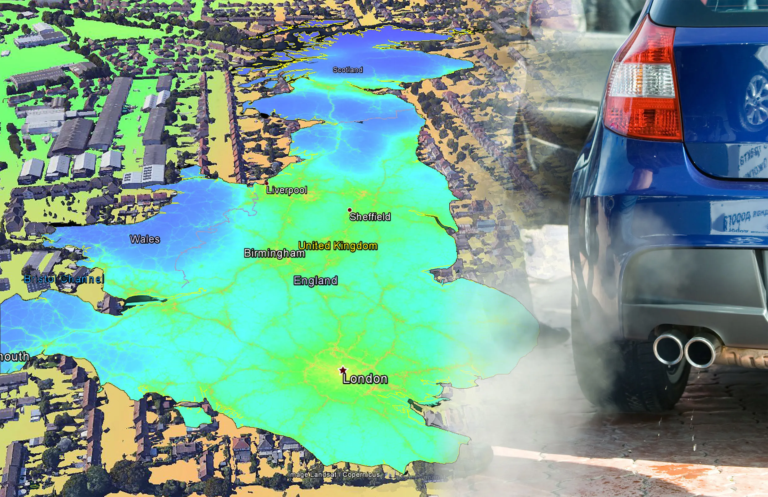
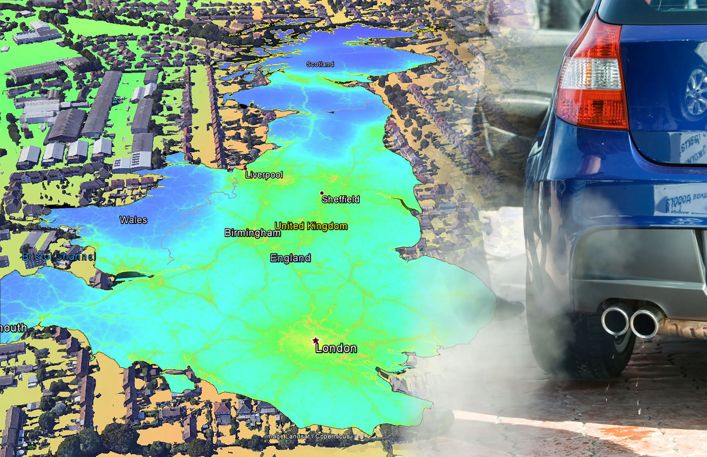
    EarthSense Systems has published MappAir, a high-resolution map of air pollution throughout the entire UK. MappAir shows how air pollution - specifically nitrogen dioxide - changes across the country and within towns and cities, highlighting likely sources and potential clean-air refuge areas. It combines data from satellites and its EarthSense Systems’ own air quality monitoring sensors along with open source data. The result, using complex modelling, creates a highly accurate map at 100m resolution, says
  • EarthSense Systems releases air pollution map of the UK
    June 26, 2018
    EarthSense Systems has published MappAir, a high-resolution map of air pollution throughout the entire UK MappAir shows how air pollution - specifically nitrogen dioxide - changes across the country and within towns and cities, highlighting likely sources and potential clean-air refuge areas. It combines data from satellites and its EarthSense Systems’ own air quality monitoring sensors along with open source data. The result, using complex modelling, creates a highly accurate map at 100m resolution, says
  • Partnership for advanced road construction processes
    August 6, 2020
    LafargeHolcim and IBM have established a partnership for advanced road construction processes.