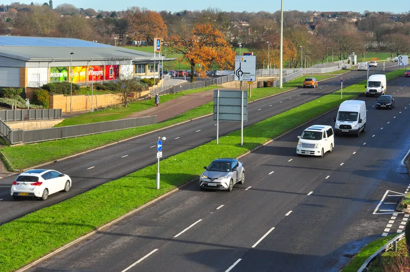
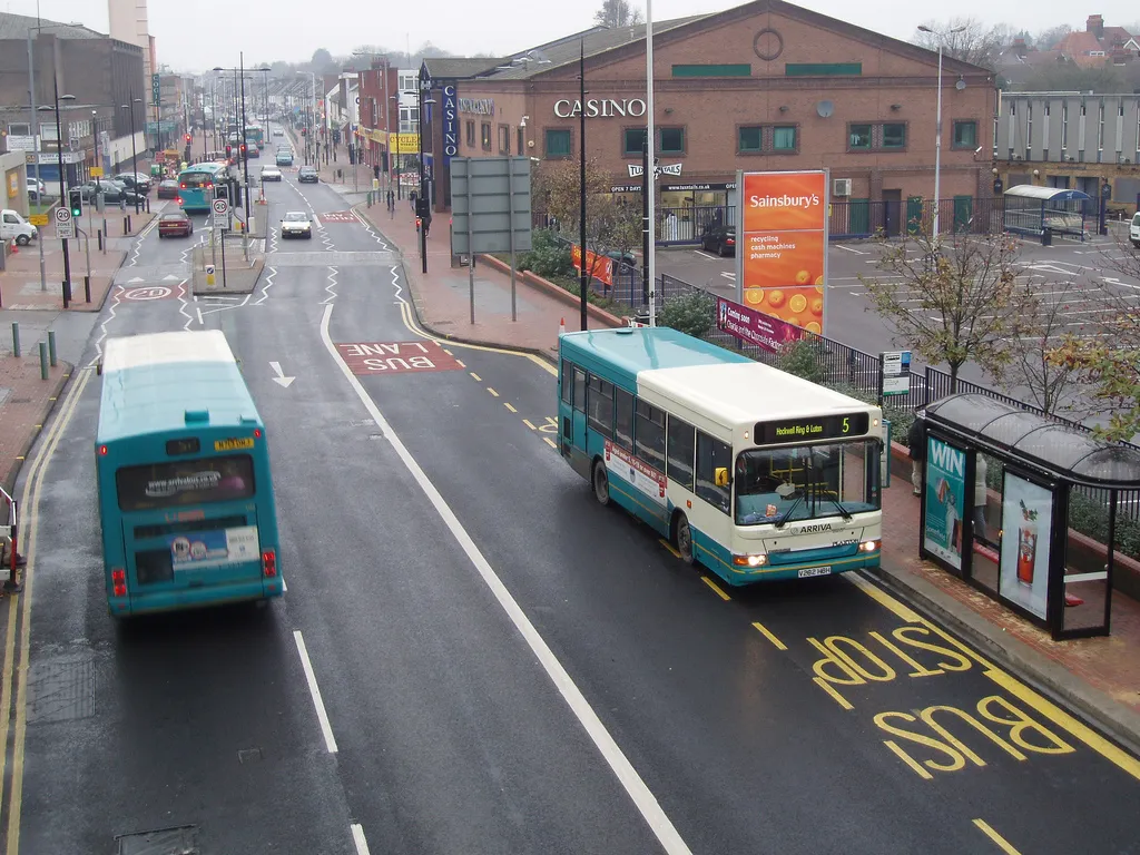
Fugro has secured a three-year contract with Luton Borough Council in southern England to provide a range of highway and footway investigations, including the Council’s annual SCANNER surveys using Fugro’s ARAN (Automatic Road Analyser) survey system. The survey package also includes SCRIM (surface friction) testing of Luton’s A, B and C roads, and CVI (coarse visual inspection) of unclassified roads. Cambridge-based Fugro transport specialists will process the survey data to generate NI (national indicator
The survey package also includes SCRIM (surface friction) testing of Luton’s A, B and C roads, and CVI (coarse visual inspection) of unclassified roads. Cambridge-based Fugro transport specialists will process the survey data to generate NI (national indicator) reports, and provide results which can be used to visualise the condition of the road network.
The contract also allows Fugro to consult on and implement Footway Network Surveys (FNS). Fugro says this will help council engineers to assess and report footway condition and asset values in response to the government’s transport infrastructure asset codes.
Luton’s highways team can access additional information on road network construction by utilising ground penetrating radar (GPR) data automatically collected by the ARAN survey vehicles.
Initially running until May 2015, Fugro’s contract with Luton Borough Council has a two-year extension option.