While the new eastern span of northern California’s Bay Bridge between San Francisco and Oakland will open to traffic this September, the task of taking down the old eastern bridge span roadway is likely to take years. Speaking to a local TV station Brad McCrea, regulatory director of the Bay Conservation and Development Commission, the state agency that oversees protection of the Bay Area, said: “Taking the old Bay Bridge [eastern span roadway] down is as practically as big a project as putting the new one
While the new eastern span of northern California’s Bay Bridge between San Francisco and Oakland will open to traffic this September, the task of taking down the old eastern bridge span roadway is likely to take years.
Speaking to local TV station KPIX 5 Brad McCrea, regulatory director of the Bay Conservation and Development Commission, the state agency that oversees protection of the Bay Area, said: “Taking the old Bay Bridge [eastern span roadway] down is as practically as big a project as putting the new one up.”
Environmental restrictions mean the existing structure will have to be carefully taken apart in sections, in the reverse order that it was originally built.
“They have great documentation about how this old structure was built in the 1930s. So they will use the architectural drawings from the 30s, they’ll use all of the photographs they have from the 30s, and they’ll use that as a road map to un-doing what was done 75 years ago,” explained McCrea in his TV interview.
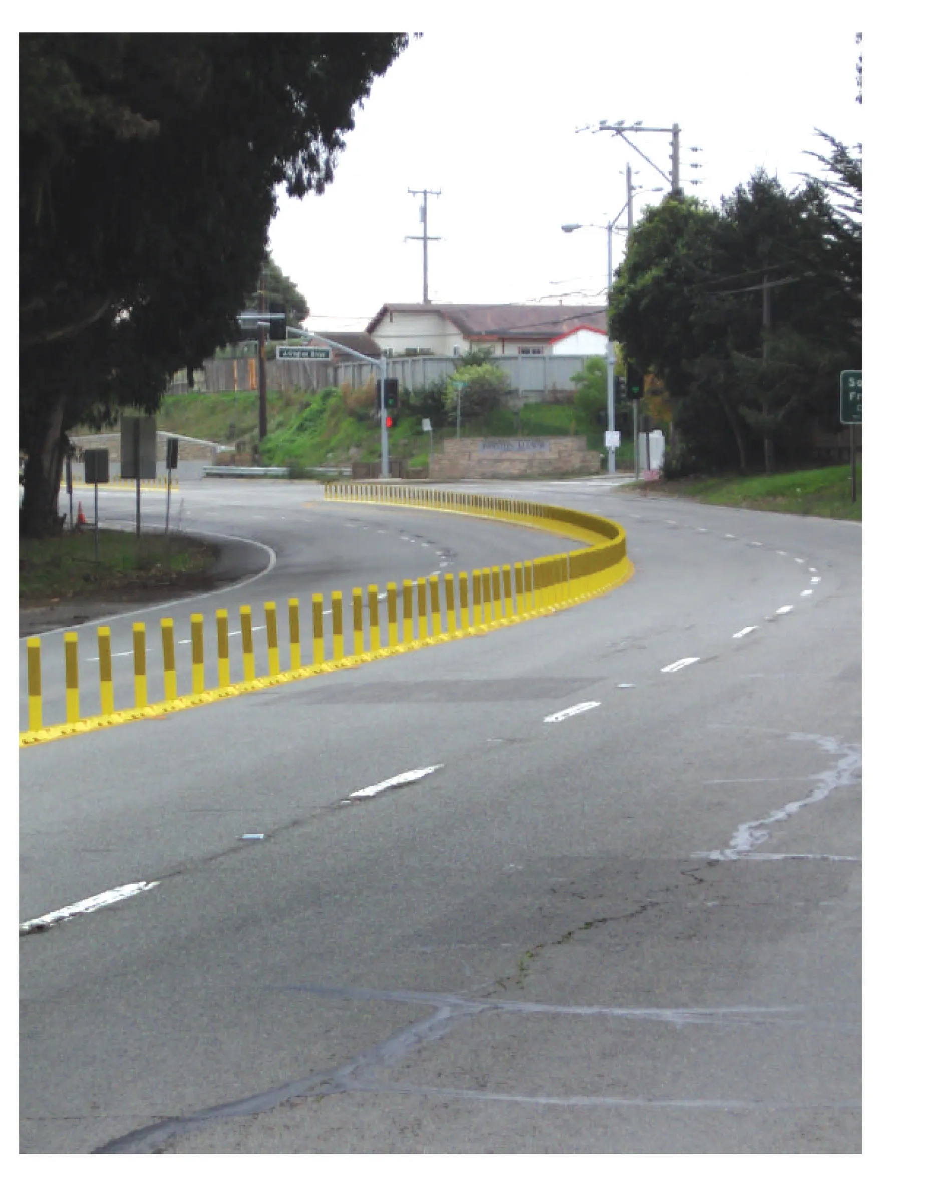
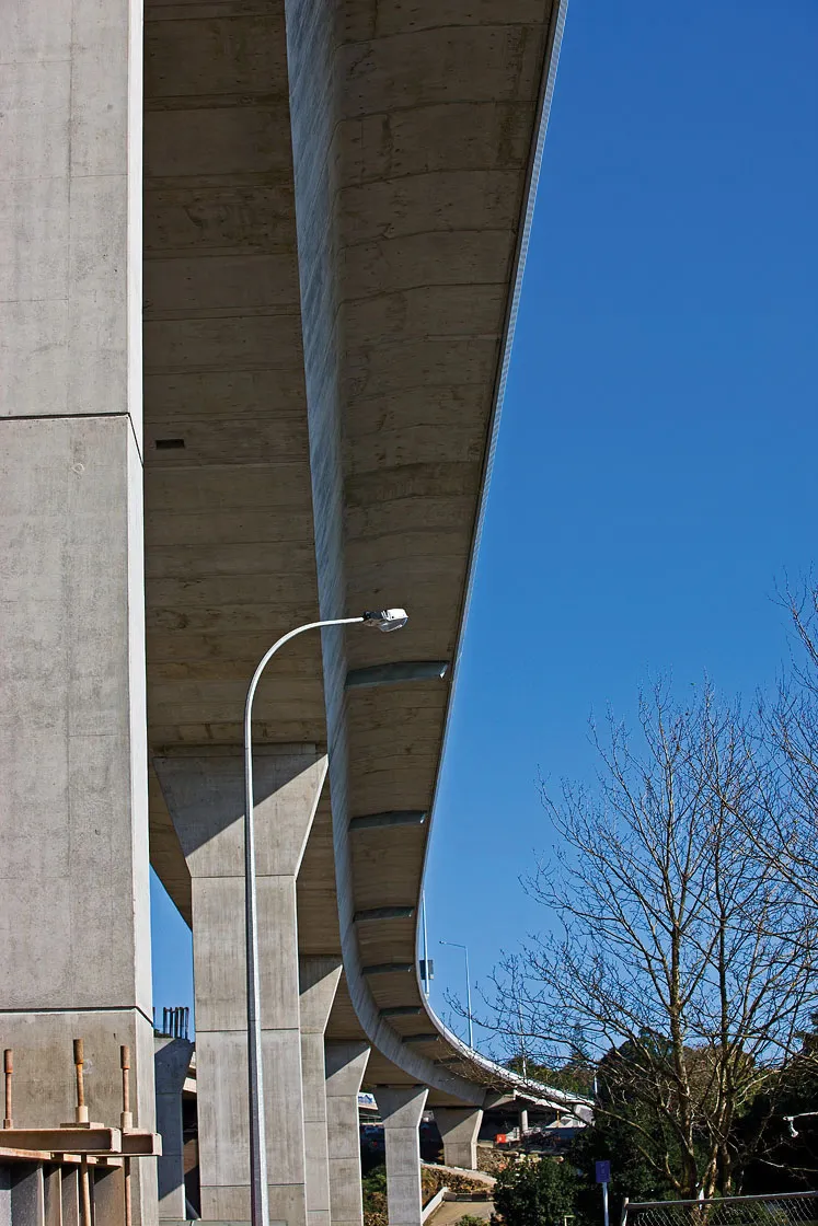
The new eastern span of the Bay Bridge, a near 3km long continuation of the Bay Bridge crossing, will run on from a small island in the middle of the bay where the two suspension bridges of the western half make landfall. The route passes through this Yerba Buena Island, in a short tunnel. A new single-span single-tower suspension bridge, with a 385m main span, is the centrepiece of the new eastern Bay Bridge span. It will cross the main east side shipping channel close to Yerba and its adjoining Treasure Island naval base, carrying five lanes of traffic each way. The road continues on the long curving Skyway concrete viaduct for the following 2.1km. A final touch down section takes motorists on to Oakland.
The US$6.3 billion renewal of the eastern Bay Bridge is seen as a long-term solution to renowned seismic activity in the area.
Speaking to local TV station KPIX 5 Brad McCrea, regulatory director of the Bay Conservation and Development Commission, the state agency that oversees protection of the Bay Area, said: “Taking the old Bay Bridge [eastern span roadway] down is as practically as big a project as putting the new one up.”
Environmental restrictions mean the existing structure will have to be carefully taken apart in sections, in the reverse order that it was originally built.
“They have great documentation about how this old structure was built in the 1930s. So they will use the architectural drawings from the 30s, they’ll use all of the photographs they have from the 30s, and they’ll use that as a road map to un-doing what was done 75 years ago,” explained McCrea in his TV interview.
The new eastern span of the Bay Bridge, a near 3km long continuation of the Bay Bridge crossing, will run on from a small island in the middle of the bay where the two suspension bridges of the western half make landfall. The route passes through this Yerba Buena Island, in a short tunnel. A new single-span single-tower suspension bridge, with a 385m main span, is the centrepiece of the new eastern Bay Bridge span. It will cross the main east side shipping channel close to Yerba and its adjoining Treasure Island naval base, carrying five lanes of traffic each way. The road continues on the long curving Skyway concrete viaduct for the following 2.1km. A final touch down section takes motorists on to Oakland.
The US$6.3 billion renewal of the eastern Bay Bridge is seen as a long-term solution to renowned seismic activity in the area.