Electric vehicle future for Singapore by 2050

New predictions suggest that 30%-50% of vehicles on Singapore’s roads by 2050 will be electric. The predictions come from research carried out by Nanyang Technological University (NTU). Singapore is planning on increasing the number of electric vehicles on its roads in a bid to cut urban pollution. The so-called electro-mobility road map has been revealed by the National Research Foundation and the National Climate Change Secretariat. Singapore suffers from pollution caused by vehicle emissions, so the long
June 7, 2016 Read time: 1 min
New predictions suggest that 30%-50% of vehicles on Singapore’s roads by 2050 will be electric. The predictions come from research carried out by Nanyang Technological University (NTU). Singapore is planning on increasing the number of electric vehicles on its roads in a bid to cut urban pollution. The so-called electro-mobility road map has been revealed by the National Research Foundation and the National Climate Change Secretariat. Singapore suffers from pollution caused by vehicle emissions, so the long term plan is to address the issue by increasing the number of electric vehicles in use. However at present, there are only around 120 electric vehicles in use in Singapore. The plan calls for taxis and buses to use battery power as the cost of the battery packs begin to reduce in coming years.

Related Content

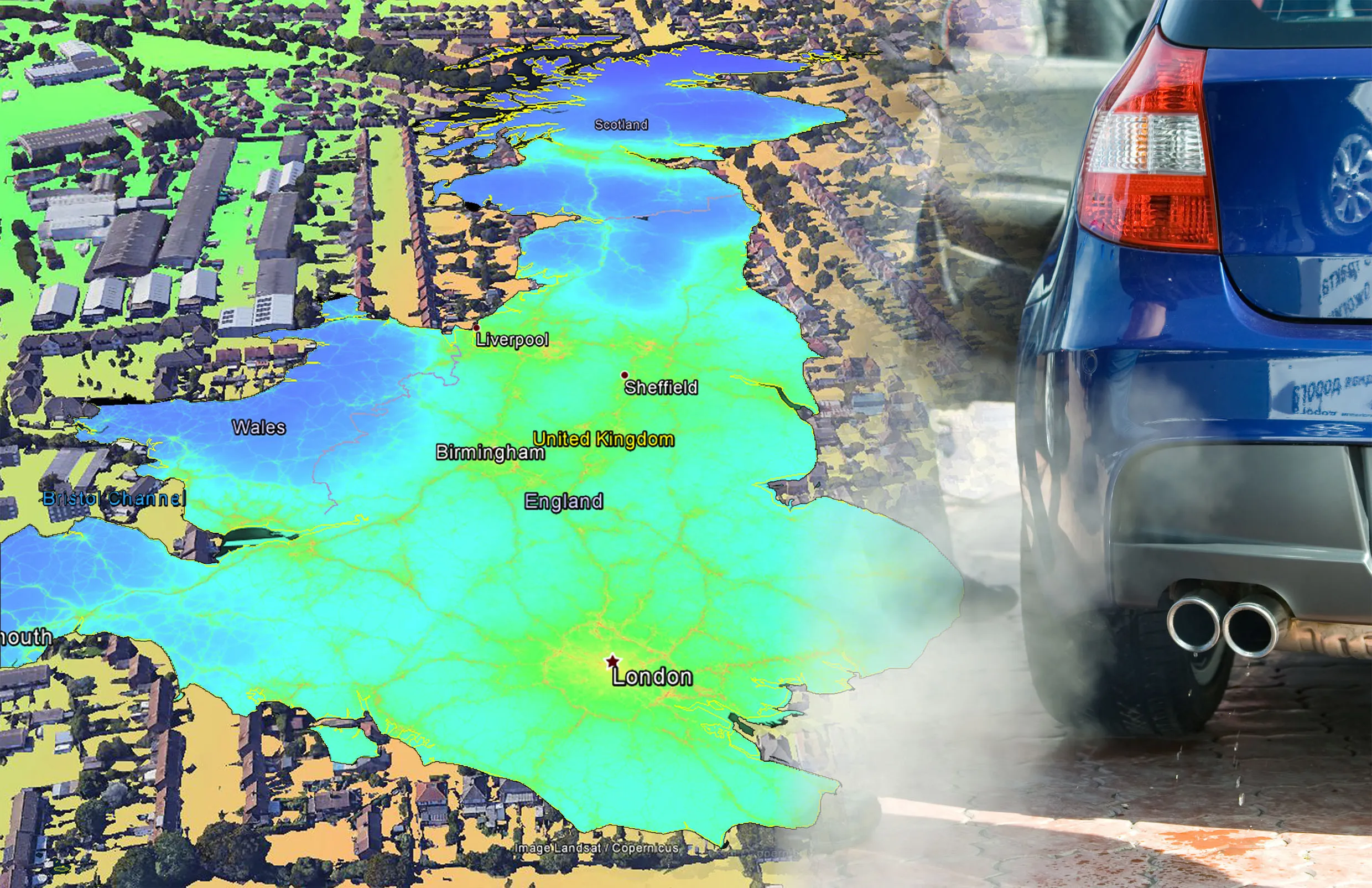
  • EarthSense Systems releases air pollution map of the UK
    June 15, 2018
    EarthSense Systems has published MappAir, a high-resolution map of air pollution throughout the entire UK. MappAir shows how air pollution - specifically nitrogen dioxide - changes across the country and within towns and cities, highlighting likely sources and potential clean-air refuge areas. It combines data from satellites and its EarthSense Systems’ own air quality monitoring sensors along with open source data. The result, using complex modelling, creates a highly accurate map at 100m resolution, says
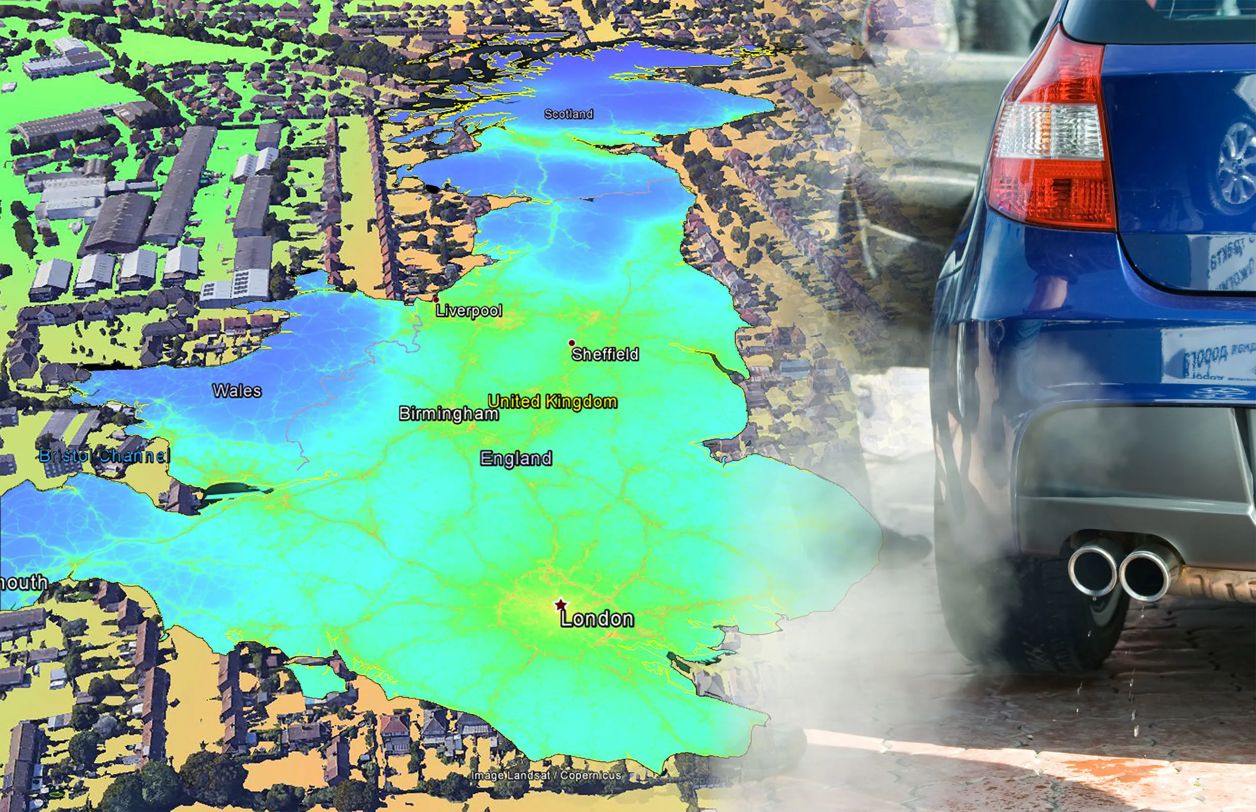
  • EarthSense Systems releases air pollution map of the UK
    June 26, 2018
    EarthSense Systems has published MappAir, a high-resolution map of air pollution throughout the entire UK MappAir shows how air pollution - specifically nitrogen dioxide - changes across the country and within towns and cities, highlighting likely sources and potential clean-air refuge areas. It combines data from satellites and its EarthSense Systems’ own air quality monitoring sensors along with open source data. The result, using complex modelling, creates a highly accurate map at 100m resolution, says
  • UK hosts world’s first zero-emissions Portland cement industrial trial
    February 8, 2023
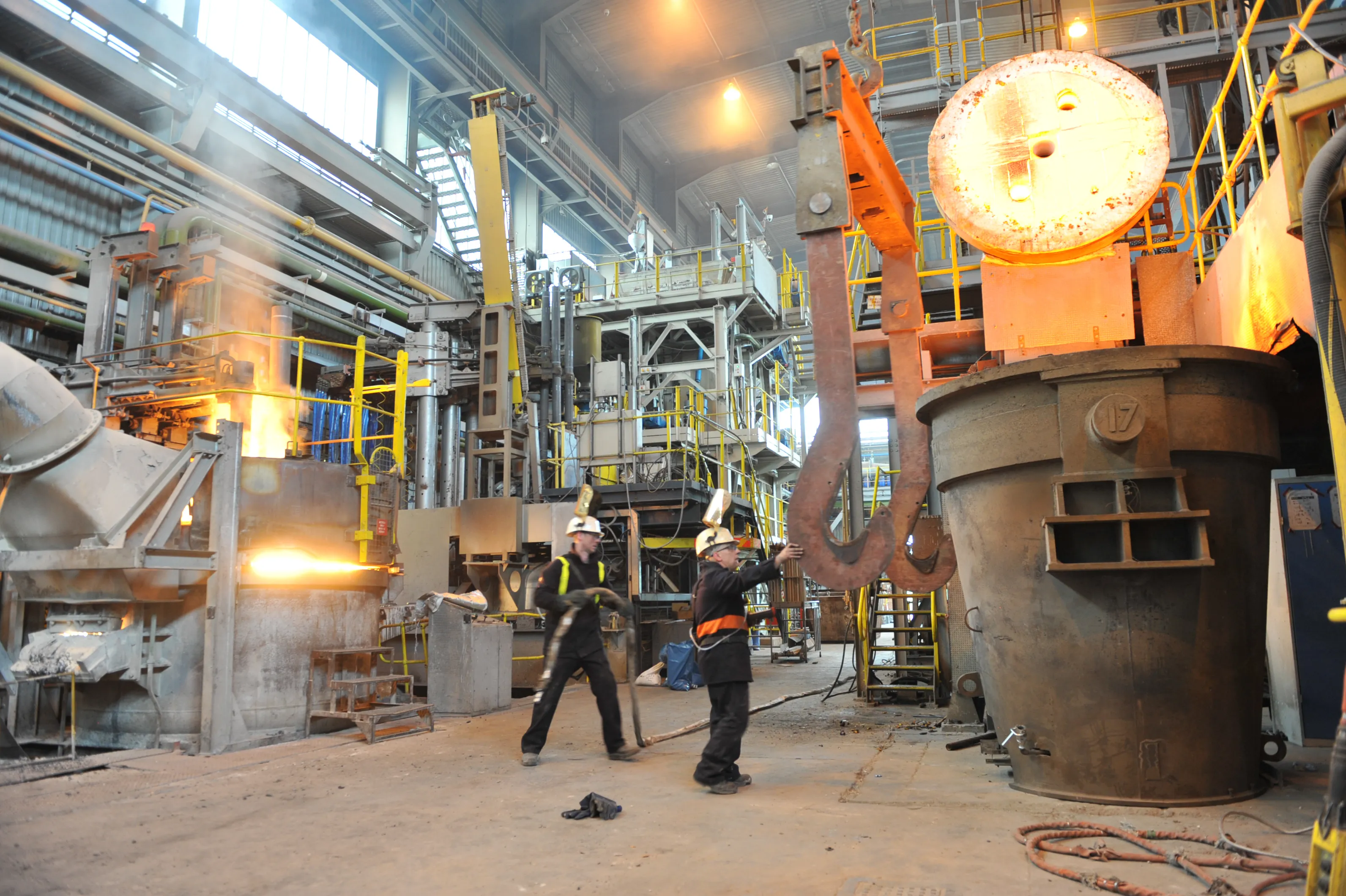
    The UK is hosting the world’s first zero-emissions Portland cement industrial trial
  • Improving barrier safety for motorcyclists
    February 23, 2012
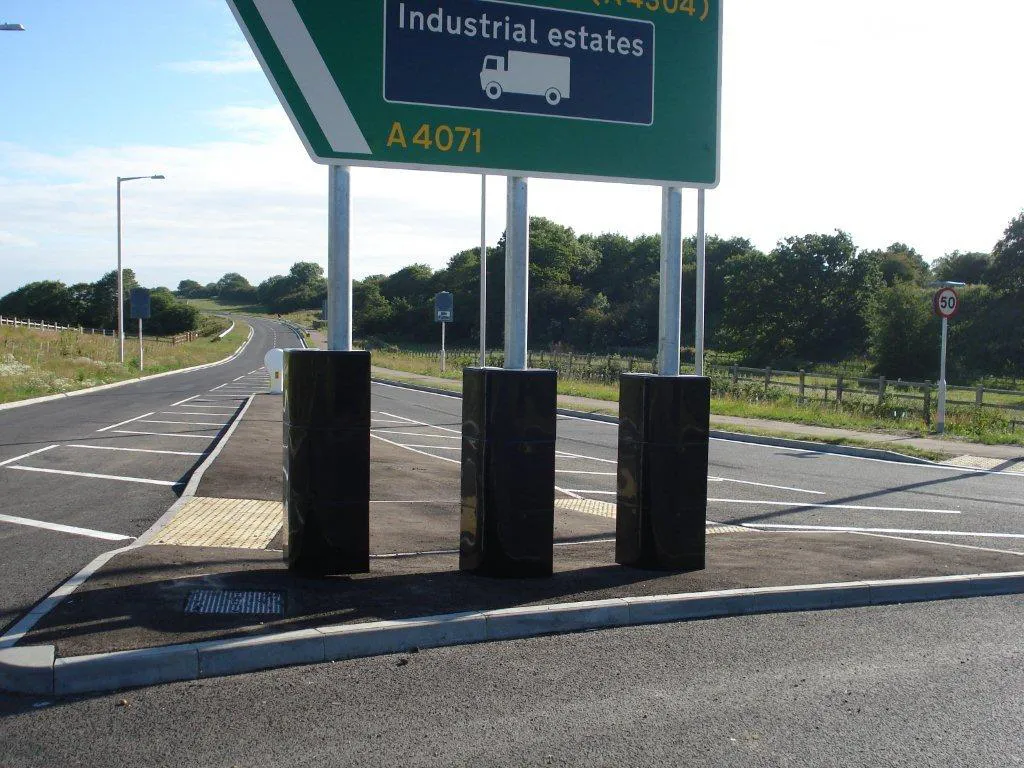
    Mike Woof reports on delays to better barrier safety for Europe’s powered two wheeler riders. Safety for vulnerable road users continues to be a matter of some debate in Europe. Although powered two wheelers account for a comparatively small number of Europe’s vehicles as well as total distance travelled, they account for a disproportionately large number of accidents. Statistical data shows that by far the greatest risk to users of powered two wheelers as well as other vulnerable road users comes from driv