Air quality specialist EarthSense is working with Oxfordshire County Council in England and connected vehicle company Tantalum to understand road traffic’s impact on air quality.
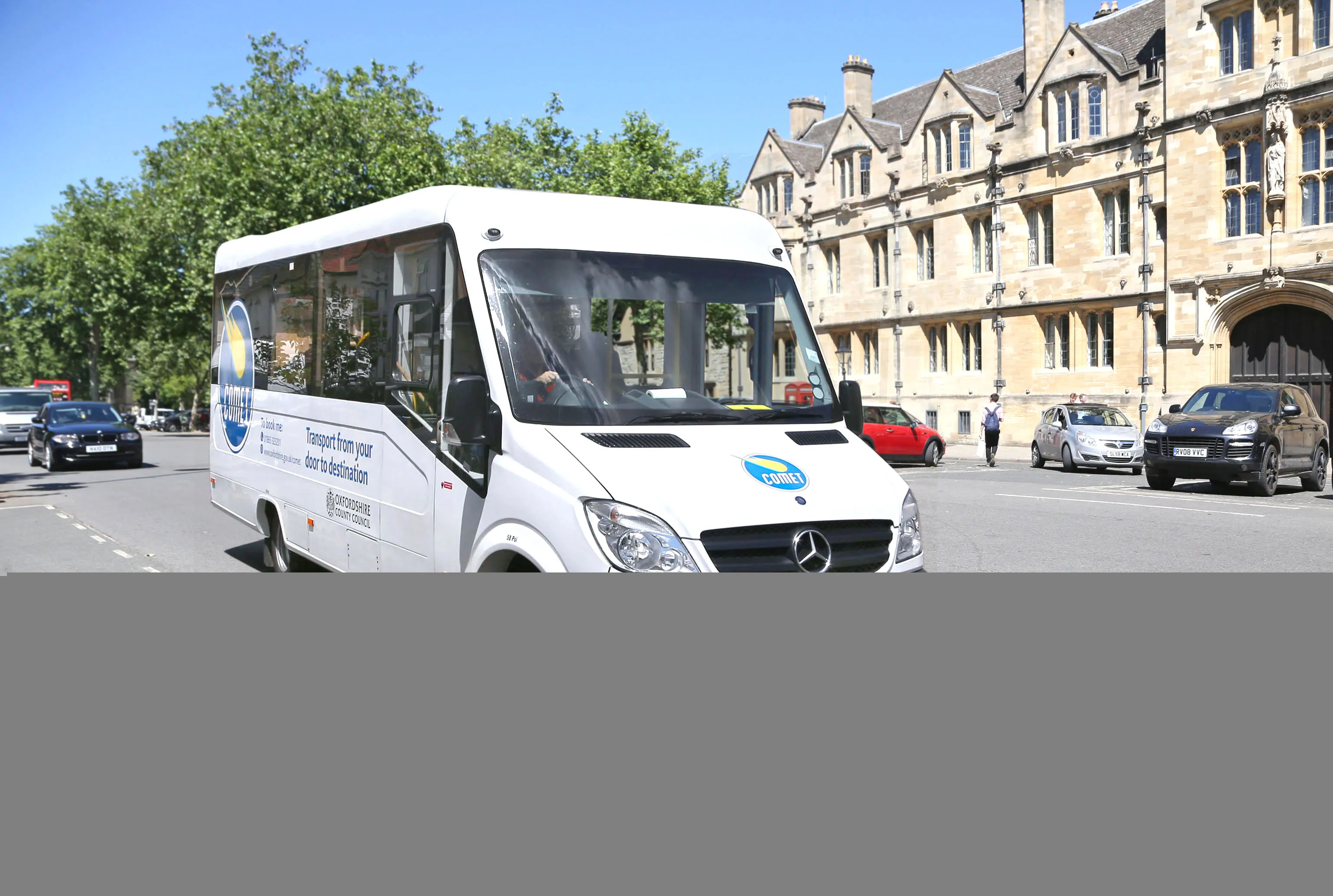
Council fleet vehicles are being fitted with EarthSense’s Zephyr air quality measuring sensors that give real-time data on vehicle emissions and air quality along the route. The data collected by EarthSense will be used to coordinate traffic light control in an attempt to mitigate road congestion and, therefore, air pollution.
The data will also be used by the county council for its work with Oxford City Council as the historic city prepares for its Zero Emission Zone.
In addition to the use by Oxfordshire, data from the EarthSense Zephyr sensors will also be used by Tantalum for a study is it doing with Imperial College in London. The goal is to refine traffic emission models within Tantalum’s collaborative Air.Car project.
Air.Car project, too, looks at the relationship between levels of traffic and air pollution along roads. The models will also propose solutions to cut pollution, such as a clean routing app for taxis as well as smart, fair and affordable enforcement schemes for local authorities, such as Oxfordshire.
“It is essential to obtain accurate measurements in order to understand and solve air quality problems,” said Tom Hall, managing director of EarthSense, a joint venture between aerial mapping company Bluesky and the University of Leicester, both in the UK.
“This project will demonstrate how the best available technologies, including the EarthSense Zephyr sensors and services from Air.Car, can provide solutions to improve air quality.”