EarthSense and Tantalum in UK project to cut road air pollution

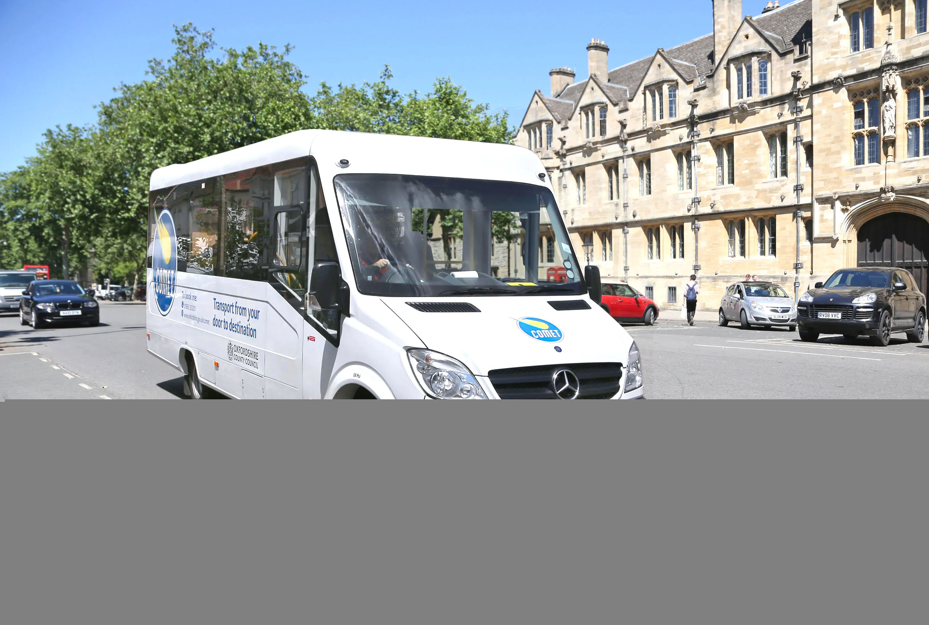
Air quality specialist EarthSense is working with Oxfordshire County Council in England and connected vehicle company Tantalum to understand road traffic’s impact on air quality. Council fleet vehicles are being fitted with EarthSense’s Zephyr air quality measuring sensors that give real-time data on vehicle emissions and air quality along the route. The data collected by EarthSense will be used to coordinate traffic light control in an attempt to mitigate road congestion and, therefore, air pollution.
June 29, 2018 Read time: 2 mins
Sniffer van: air monitoring sensors from EarthSense are being used by Oxfordshire County Council in the UK

Air quality specialist EarthSense is working with Oxfordshire County Council in England and connected vehicle company Tantalum to understand road traffic’s impact on air quality.

Council fleet vehicles are being fitted with EarthSense’s Zephyr air quality measuring sensors that give real-time data on vehicle emissions and air quality along the route. The data collected by EarthSense will be used to coordinate traffic light control in an attempt to mitigate road congestion and, therefore, air pollution.

The data will also be used by the county council for its work with Oxford City Council as the historic city prepares for its Zero Emission Zone.

In addition to the use by Oxfordshire, data from the EarthSense Zephyr sensors will also be used by Tantalum for a study is it doing with Imperial College in London. The goal is to refine traffic emission models within Tantalum’s collaborative Air.Car project.

Air.Car project, too, looks at the relationship between levels of traffic and air pollution along roads. The models will also propose solutions to cut pollution, such as  a clean routing app for taxis as well as smart, fair and affordable enforcement schemes for local authorities, such as Oxfordshire.

“It is essential to obtain accurate measurements in order to understand and solve air quality problems,” said Tom Hall, managing director of EarthSense, a joint venture between aerial mapping company Bluesky and the University of Leicester, both in the UK.

“This project will demonstrate how the best available technologies, including the EarthSense Zephyr sensors and services from Air.Car, can provide solutions to improve air quality.”

Related Content

  • Ferry operators sink the financing plan for Fehmarn Belt link
    December 17, 2018
    The Court of Justice of the European Union has said Denmark’s state grant aid to the proposed Fehmarn Belt link is illegal under EU rules. The court noted that the European Commission approved the Fehmarn project’s financing – total cost likely around the €8.7 billion - in July 2015 without a formal procedure. Denmark is completely responsible for financing the project that will replace a ferry service. Part of the funds were to come through the European Union and its Connecting Europe Facility for tr
  • Data collection key to software developments
    February 13, 2012
    The collection and handling of data are key technology drivers in the software sector. New methods of data collection and manipulation are driving significant developments in software at present. The latest technology allows designers and engineers to collect, store and manipulate ever larger amounts of data. Growing use of mobile field equipment for both data collection and field management is driving interactive systems. And in an interview this month Autodesk senior vice-president for the construction an
  • Geveko Markings: committed to safety
    February 28, 2025
    Achieving Europe’s Vision Zero - eliminating road fatalities - requires a united effort from everyone in the road marking sector, both public and private. Collaboration and innovation are key to creating safer, more sustainable, and more efficient roads, from highways to bike lanes. Global company Geveko Markings is dedicated to this mission and shares its commitment to Vision Zero and beyond.*
  • Are drones homing in on road construction?
    August 4, 2015
    It may be early days for using drones – unmanned aerial systems (UAS) -- to map construction sites, but technology and legislation are moving in that direction. At the moment drones can fly within only a 500m radius of the ‘pilot’ standing on the ground, making the flight area a 1km diameter. This is the key limiting issue for any sector, especially road construction, says Jonathan Gill, a robotics engineer and a qualified drone pilot for the past seven years. The logic is that a drone remains withi