The capture of User Persona information has allowed EIBS and Eastbourne BC to form user journeys and Wireframes (page types) for the website redevelopment project. These are defined and described in the section 3 below.
Hot and warm (HMA/WMA) facility manufacturer, Astec has translated its award-winning website into French. "French-speaking visitors now have access to the wealth of information available at www.astecinc.com in their native language by selecting the Français option at the top of the home page," says the company, a member of the Astec Industries family of companies. Earlier this year Astec released a Spanish translation of the website.
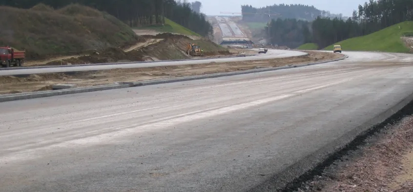
The European Investment Bank (EIB) has in total granted a long-term facility of €1.070 billion for the construction of the second phase of the A1 motorway forming part of the priority trans-European transport network connecting the north of Poland (Gdansk) with the Austrian capital Vienna, via the Czech and Slovak Republics. The loan will finance the construction of a 62km section of the A1 motorway between Nowe Marzy and Torun on the basis of a design, build, finance and operate (DBFO) concession. This con
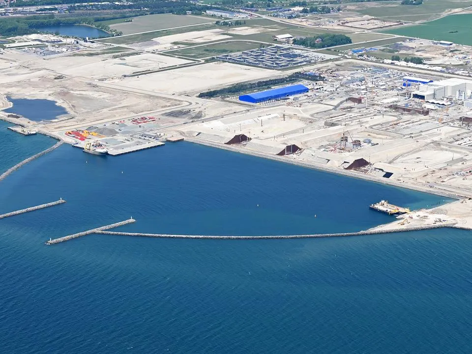
Sund & Bælt has completed an environmental assessment of the tunnel element factory for the 18km Fehmarnbelt project between Denmark’s Lolland and Germany’s Fehmarn islands.
A range of key software innovations are now available for road construction applications from various suppliers - Adrian Greeman writes. Two significant and highly economic alternatives are now available to the major CAD providers both from Belgium and both offering interesting features. First is Pythagoras, which describes itself as a modern CAD program specially designed for topographical applications which include land surveying, road design and city planning.