Data allowing safety on UK motorways

Accurate data is allowing safer roads for UK motorways
By Adam Hill February 17, 2025 Read time: 2 mins
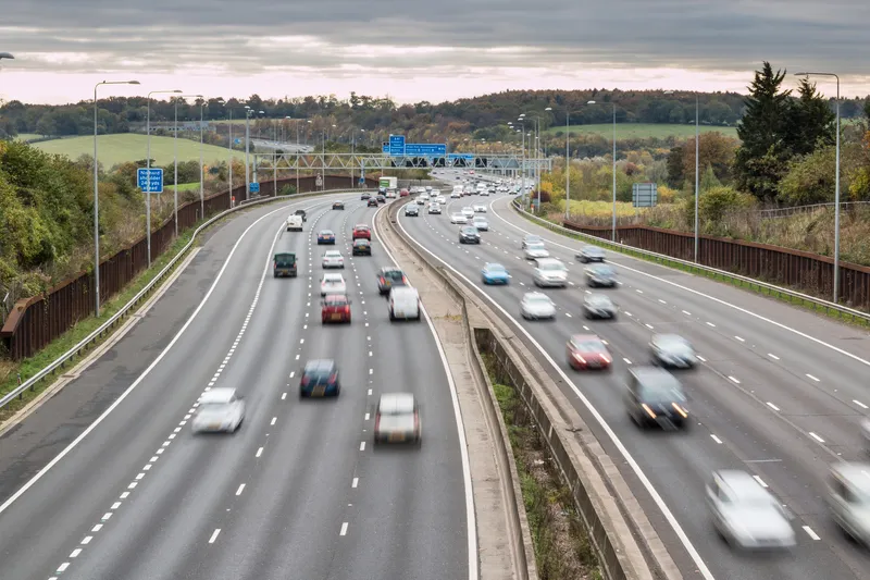
Data can improve safety on UK motorways – image courtesy of © Gorgios| Dreamstime.com


Connected vehicle (CV) data from Compass IoT is being used by Purdue University to visualise travel speeds, traffic flow and bottlenecks on motorways in the UK. The US university has developed speed heatmaps to understand traffic flow, congestion and corridor management.

These maps enable transport agencies, local councils and national highway authorities to better understand speed variations, congestion patterns, and traffic pinch points, supporting data-driven decision-making to improve network performance - including improving incident response.

Purdue speed heatmap using Compass connected vehicle data visualising overnight M5 closures. They also provide insights into when and where closures occur by visually identifying data gaps.

The research has been led by Professor Darcy Bullock, whose expertise is the use of CV data for traffic management. "Applying connected vehicle data to UK motorways allows us to analyse congestion and speed fluctuations with a level of detail that traditional methods simply can’t provide," said Compass general manager Marinos Tsiplakis. 

"Partnering with universities like Purdue enables us to combine real-world vehicle movement data with globally recognised research expertise to help authorities optimise their road networks."

The project leveraged passively-collected vehicle trajectory data for December 2024 to analyse and visualise travel speeds across key UK corridors, including the M4 and M5.

This showed, for example, the effects of motorway closure following a crash on the M4 on 12 December from 4.30am to 8pm: the maximum queue length shown on the heatmap was approximately 5-6km. 

Overnight closures - part of National Highways' resurfacing scheme - on the northbound M5 from 9pm to 6am from Monday to Thursday are shown by white gaps in the heatmaps (above). The gaps indicate no vehicles travelled through that section of road for that period.

Bullock was interviewed on Compass' Byte Size podcast to discuss how connected vehicle data can help authorities to improve performance, from real-time congestion analysis to long-term corridor planning strategies.


Related Content

  • Springtime for the use of analytics
    April 6, 2021
    Samu Karanko of Vaisala Digital argues for more - and better - use of big data analytics to predict winter weather patterns in order to keep roads clear of snow and ice
  • IAM suggests confusion over UK’s SMART motorways
    April 13, 2015
    The Institute of Advanced Motorists (IAM) has expressed concern that widespread confusion exists amongst UK drivers on how best to use SMART motorways. These were officially introduced around this time in 2014 to replace Managed Motorways as the solution to the UK’s congested major routes. However concerns have been raised over the safety of the SMART motorways. England’s first all-lane running motorway, without a hard shoulder, was the 2.5km stretch of the M25 between junctions 23 and 25. Complete schemes
  • GHSA: Pedestrian deaths fall for second year
    July 18, 2025
    However, despite overall progress in the US, alarming trends continue for hit-and-run incidents, especially at night and in places where there are no sidewalks, according to the GHSA - Governors Highway Safety Association.
  • Digital Construction Works develops new fully-integrated monitoring platform
    October 6, 2022
    Machine control specialist DCW (Digital Construction Works) has combined Topcon's monitoring platform with Bentley's Sensemetrics package to create a new solution that ties IoT sensors and monitoring systems to give contractors rapid project information in near real-time.