Bentley Systems partners with Google

Bentley Systems is partnering with Google to deliver more efficient use of data.
By MJ Woof October 10, 2024 Read time: 2 mins
A 3D aerial view of Vancouver city, displaying detailed buildings and landscape, enabled by Cesium technology, integrated with iTwin from Bentley Systems

Bentley Systems has announced a strategic partnership with Google. This will integrate Google’s geospatial content with Bentley’s infrastructure engineering software and digital twin platform to improve the way infrastructure is designed, built, and operated.

Leveraging the engineering data created and managed in Bentley software alongside Google’s geospatial data, AI and analytics, and cloud technologies, engineers can design and manage infrastructure in context and at scale to address today’s most urgent challenges, from mitigating climate risk to maintaining ageing infrastructure.

Nicolas Cumins, CEO of Bentley commented, “What Google has done is create a digital twin of planet Earth.

Through the partnership, Bentley software users and developers can use the geospatial content from Google Maps Platform for real-world geospatial context and immersive 3D experiences in digital workflows. The partnership complements Bentley’s recent acquisition of Cesium, the foundational open platform for creating powerful 3D geospatial applications. Cesium is the creator of the 3D Tiles open standard used by Google. Bentley is also collaborating with Google Cloud to deliver AI-driven insights for asset analytics.

Cumins said, “By combining Google’s extensive geospatial content and cloud capabilities with Bentley’s infrastructure engineering software and digital twin platform, infrastructure professionals can improve their work and ensure projects and assets are created and operated with greater resilience and sustainability. This partnership demonstrates how open standards, such as 3D Tiles, can help infrastructure professionals evolve their practices by leveraging the power of geospatial context.”

Chris Phillips, vice president and general manager of Geo at Google, commented, “Photorealistic 3D Tiles in Google Maps Platform power breathtaking immersive experiences and can transform workflows for architects, engineers, and urban planners. We’re excited to partner with Bentley to bring powerful geospatial context and capabilities that can dramatically improve how infrastructure is designed, built, and operated with data.”

For more information on companies in this article

Related Content

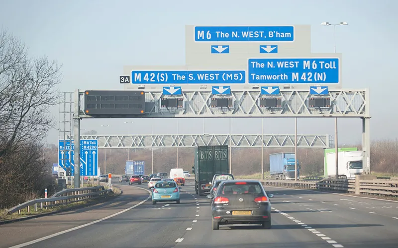
  • Gantry design competition for English roads
    December 7, 2022
    National Highways is looking for a more streamlined and elegant appearance for its gantries.
  • Ferrovial 5G for Silvertown sites in London
    October 18, 2021
    The 5G network has been deployed in partnership with Nokia and Telent for work on the tunnel that will connect London’s Greenwich Peninsula and Silvertown district.
  • Caterpillar’s centenary in 2025
    November 25, 2024
    Caterpillar celebrates its centenary in 2025.
  • Bentley announces award nominees
    March 21, 2012
    Software specialist Bentley Systems has announced the project finalists in the 2011 Be Inspired Awards competition and the four winners of the 2011 Be Inspired Special Recognition Awards. The awards honour the extraordinary work of Bentley users improving and sustaining the world's infrastructure. Five independent panels of jurors, comprising accomplished Bentley users and distinguished industry experts, selected the 59 finalists and the Special Recognition Awards candidates from nominations submitted by 27