Bentley Systems partners with Google

Bentley Systems is partnering with Google to deliver more efficient use of data.
By MJ Woof October 10, 2024 Read time: 2 mins
A 3D aerial view of Vancouver city, displaying detailed buildings and landscape, enabled by Cesium technology, integrated with iTwin from Bentley Systems

Bentley Systems has announced a strategic partnership with Google. This will integrate Google’s geospatial content with Bentley’s infrastructure engineering software and digital twin platform to improve the way infrastructure is designed, built, and operated.

Leveraging the engineering data created and managed in Bentley software alongside Google’s geospatial data, AI and analytics, and cloud technologies, engineers can design and manage infrastructure in context and at scale to address today’s most urgent challenges, from mitigating climate risk to maintaining ageing infrastructure.

Nicolas Cumins, CEO of Bentley commented, “What Google has done is create a digital twin of planet Earth.

Through the partnership, Bentley software users and developers can use the geospatial content from Google Maps Platform for real-world geospatial context and immersive 3D experiences in digital workflows. The partnership complements Bentley’s recent acquisition of Cesium, the foundational open platform for creating powerful 3D geospatial applications. Cesium is the creator of the 3D Tiles open standard used by Google. Bentley is also collaborating with Google Cloud to deliver AI-driven insights for asset analytics.

Cumins said, “By combining Google’s extensive geospatial content and cloud capabilities with Bentley’s infrastructure engineering software and digital twin platform, infrastructure professionals can improve their work and ensure projects and assets are created and operated with greater resilience and sustainability. This partnership demonstrates how open standards, such as 3D Tiles, can help infrastructure professionals evolve their practices by leveraging the power of geospatial context.”

Chris Phillips, vice president and general manager of Geo at Google, commented, “Photorealistic 3D Tiles in Google Maps Platform power breathtaking immersive experiences and can transform workflows for architects, engineers, and urban planners. We’re excited to partner with Bentley to bring powerful geospatial context and capabilities that can dramatically improve how infrastructure is designed, built, and operated with data.”

For more information on companies in this article

Related Content

  • Yunex tunnel management in Israel
    November 29, 2022
    The new Route 16 opens another gateway to Jerusalem and connects Highway 1 with the western and southern neighbourhoods
  • Software firm acquired by Bluebeam
    June 18, 2018
    Technology specialist Bluebeam is broadening its portfolio with the acquisition of the privately owned firm Project Atlas. The purchase will expand Bluebeam’s capabilities as Project Atlas developed a digital mapping engine that uses geo-location instead of traditional folder structures to organise and visualise 2D plans and construction data. This location-based orientation allows design and construction professionals to create and search a digital map of their project that contains plans, people, material
  • AFRY Helps Scania Drive Toward Sustainable Transport with New Autonomous Vehicle Test Track
    March 10, 2023
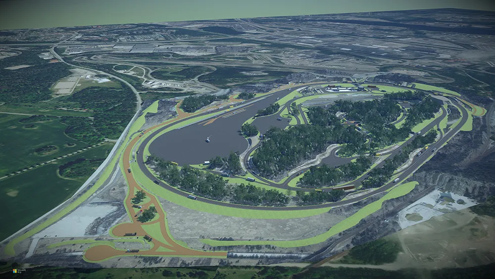
    With the rapid development of autonomous and electrified vehicles, Swedish heavy truck and bus manufacturer Scania is developing a new test track in Södertälje, 40 kilometers southwest of Stockholm. To design the track to simulate multiple scenarios, Scania hired AFRY for their design and engineering expertise. The test track includes 19 kilometers of roads with more than 60 intersections and junctions, though complex, hilly ground conditions that will make layout difficult. Since changing any single element would impact numerous others, AFRY needed a flexible, accessible design environment.
  • Visualisation technology from Bentley Systems
    May 15, 2019
    Bentley Systems has introduced its SYNCHRO XR, its app for immersively visualising 4D construction digital twins with the new Microsoft HoloLens 2. The SYNCHRO XR for HoloLens 2 system allows users to interact collaboratively with digital construction models using intuitive gestures to plan, visualise, and experience construction sequencing. Project digital twin data is visualised with the HoloLens 2 through Bentley’s connected data environment, powered by Microsoft Azure. With the mixed reality solutio