
Total tunnel management with Yunex Yutraffic Varia

Yunex Traffic says its new Yutraffic Varia software enables integrated, automated and scalable management of all key tunnel management processes in an intuitive application.
August 29, 2023 Read time: 2 mins
With Yutraffic Varia, one single integrated application controls all tunnel processes including traffic management activities

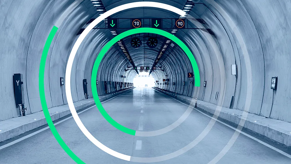
YuTraffic Varia is, the company says, one of the first controllers on the market that has already achieved SIL-2 certification in projects. It was shown recently at the World Tunnel Congress 2023 in Athens.

Currently, functions - from ventilation to lighting to traffic flow - are managed typically by a number of applications, leaving the operator with the major challenge of deriving necessary information and coordinating actions across them. With Yutraffic Varia, one single integrated application controls all tunnel processes including traffic management activities.

They can now be monitored and managed in an integrated manner, which both simplifies control and increases safety, explains Holger Erhardt, Yunex Traffic’s senior vice president interurban and tolling. Being modular and scalable, Yutraffic Varia can be flexibly adapted to the needs and requirements of the user. Yet, despite this capability, it remains intuitive and easy to use, he says. Automatic response plans and strategies enable an immediate reaction to unpredictable traffic situations and incidents, such as a blocked lane, a stationary vehicle or even a fire in a tunnel. In this way, the software contributes to greater safety in tunnels.

Also at the World Tunnel Congress in Athens, Yunex Traffic showcased developments of the digital twin – a visualisation of tunnels in virtual reality. It is the result of a combination of building information modelling (BIM), traffic and asset management system, traffic simulation and asset management. It represents a virtual image of the real infrastructure, systems and processes of tunnels.

The digital twin can replace real systems in many process steps and enables testing and simulation that would not be possible in the real world. This can increase project quality, accelerate implementation, reduce project costs and optimise operations. 

For more information on companies in this article

Related Content

  • Highway design software developments
    February 21, 2012
    New advanced software is being released for use by those involved in highway design as Adrian Greeman reports. The growing importance of BIM, building or project information modelling, as a design and construction process, and not just 3D modelling, is the driving force for the latest 2012 versions of Autodesk's comprehensive range of software for civil engineers. This is reflected in a new packaging of its various software tools into suites (along the lines of Microsoft's office suites) tailored to variou
  • Ferrovial 5G for Silvertown sites in London
    October 18, 2021
    The 5G network has been deployed in partnership with Nokia and Telent for work on the tunnel that will connect London’s Greenwich Peninsula and Silvertown district.
  • IRF Executives Talks: shaping the future of Intelligent transportation
    August 29, 2024
    Technological advances for the intelligent transportation sector are developing at incredible speed globally. For many leaders in the sector, one of the biggest challenges is how they should use new technology to shape the future of intelligent transportation. SWARCO chief executive, Michael Schuch, put forward his ideas in conversation with IRF Director General Susanna Zammataro ahead of the IRF World Congress in Istanbul in October.
  • Positioning tools continue to improve
    July 16, 2012
    Topcon says that its new IP-S2 package combines GNNS positioning capabilities with inertial sensors, while the firm also has a solution for customers wanting to mix and match receiver components. The IP-S2 is a vehicle-mounted, mobile 3D tool that offers precision mapping and surveying capabilities. The package collects data using 3D laser scanners, LIDAR, and/or cameras, and this is then integrated, time-stamped and geo-referenced. The customer can use this assembled data to combine LIDAR point cloud and d