Although power plants and factories play a large part in increasing air pollution globally, traffic is now the largest single contributor. Commercial vehicles account for a significant share of traffic around the world, with freight volumes projected to grow 40% by 2050.
Yet, despite modern vehicles being more environmentally friendly than earlier models, the sheer volume of them means that toxic air particles from traffic have increased dramatically creating a significant risk to health.
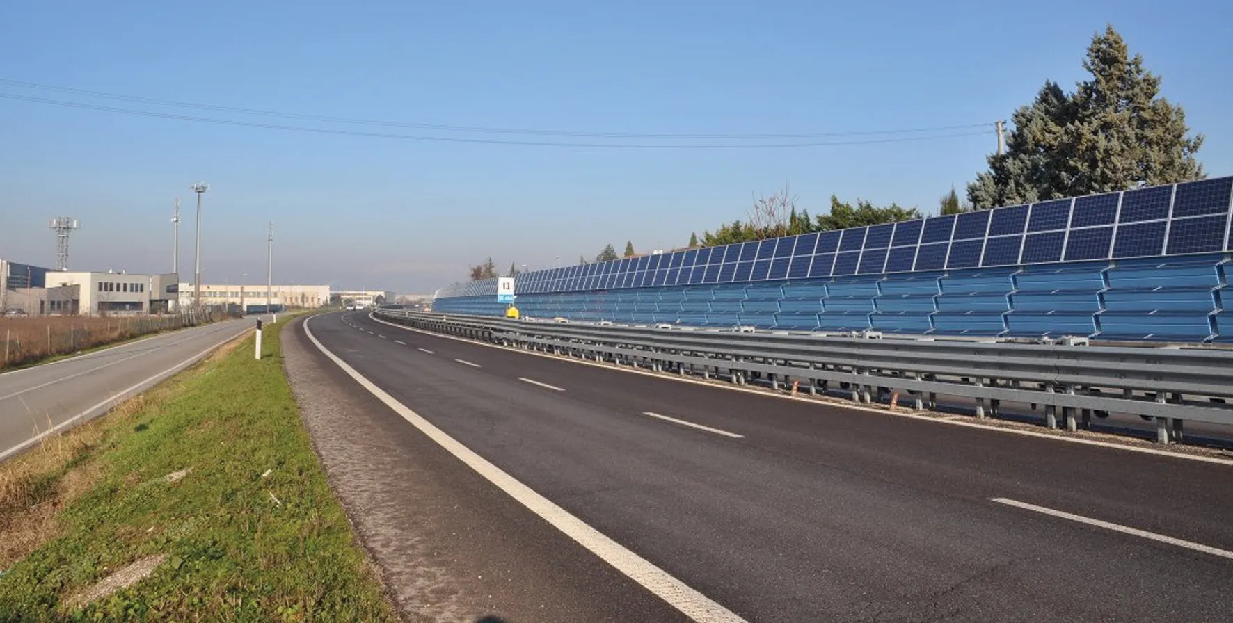
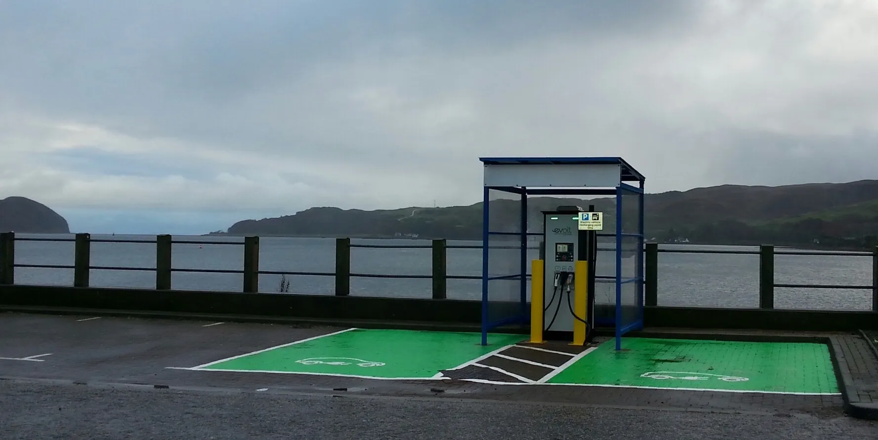
Governments are taking new measures to try to mitigate the worst effects of air pollution, but more can - and should - be done. In central London, for example, the T-Charge, with the ‘T’ for toxicity, has come into force. There are now traffic-free zones in several European capitals, including Madrid and Paris. Electric buses with air purifiers to help tackle smog have recently been introduced in Beijing.
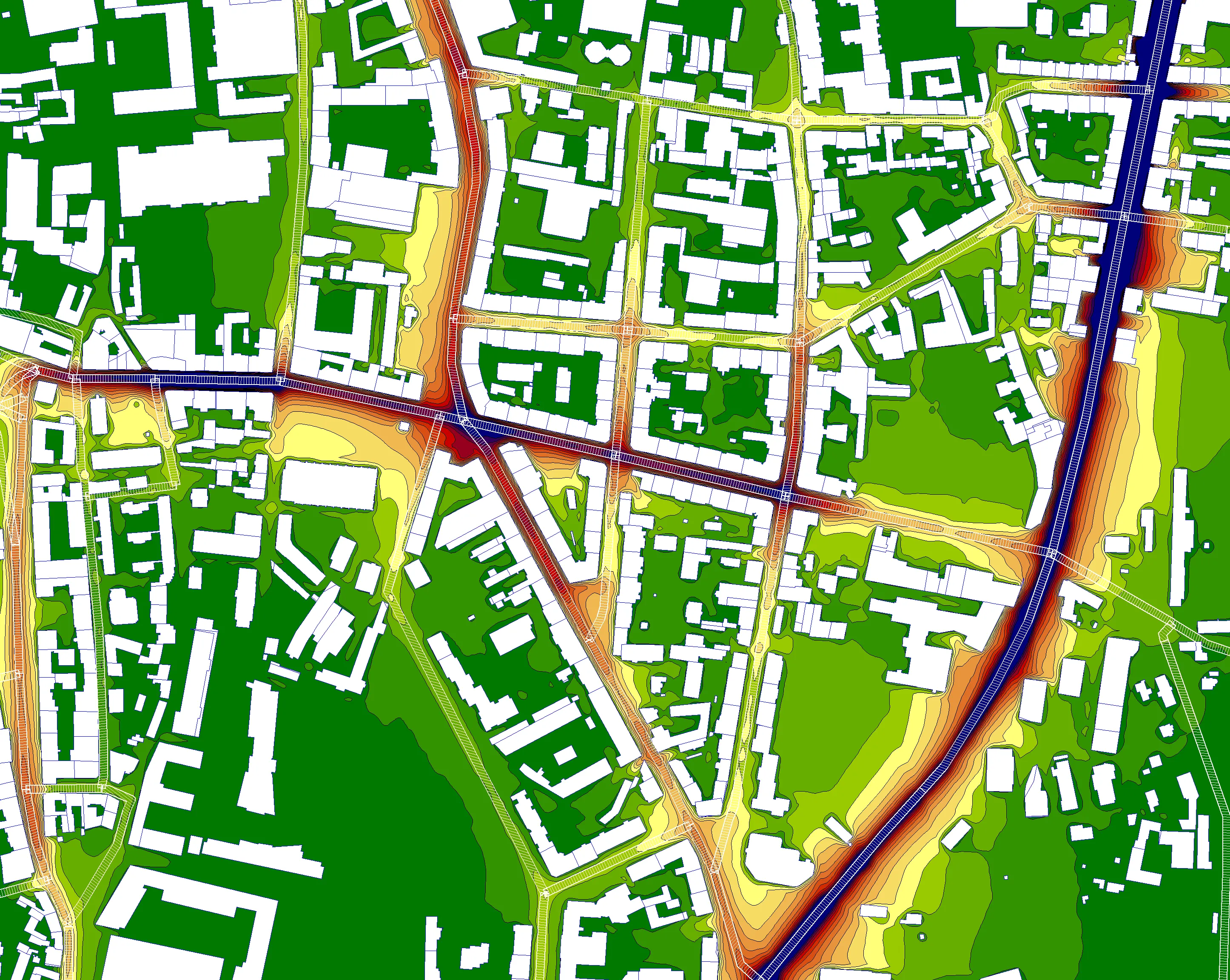
To combat this global health menace, many countries’ planning processes require calculations for the dispersal of air pollution, when developing new road infrastructure. Mapping software is used to bridge the gap between the science needed to understand the dispersal of air pollution and the engineering needed to mitigate ensure it.
Air pollution is usually measured at monitoring stations in a number of locations. But terrain and weather factors mean that levels can vary greatly even within small areas, making wide-scale accurate measurements difficult.
Instead of relying on measurements, a number of models are available for mapping air pollution dispersal. These range from Gaussian statistical models up to much more complex prognostic models. Model selection, however, depends strongly on the task and the available data. Air pollution models are highly dependent on the meteorological situation for the dispersal calculation, requiring multiple meteorological scenarios. To correctly assess the pollution load for average and various percentiles, it is vital to simulate the dispersal of the pollutants for a wide variety of wind directions and scenarios.
An added variant is that the air pollutants are often reactive gases which change over time under the presence of ultraviolet (UV) light.
Robust and reliable
The results from air pollution modelling are often critical for the highway planning processes and need to be robust enough to withstand the scrutiny of a local, regional or national legal system. It is essential that results can be validated, that they have well-defined boundary conditions, that they are supported by a team of experts and are used by well-trained people.
The management of meteorological conditions and the control of different scenarios are a constant focus for developers. Software improvements regularly mean that what was impossible yesterday is possible today. Developers continually add tools to assess, complete and modify data. But a word of caution: care must be taken when assessing meteorological data if it comes from a meteorological station outside the investigation area. Consequently, air pollution mapping software has become a powerful tool to save time and avoid nasty surprises when inspecting results. Some software includes diagrams to analyse background pollution measurement and to deliver supporting arguments to why the background concentrations need to be adjusted.
If poor measurements cannot be rectified, mapping software helps visualise data problems and provides solid arguments for investing in methods for attaining better data.
Mapping software alone cannot resolve air quality issues; that takes a lot of political will and buy-in from the general population. However, mapping software can play a vital role by providing solid evidence for the formulation of political strategies and engineering designs to mitigate air pollution. Mapping software should not be overlooked.
*Arne Berndt is the owner and adviser of