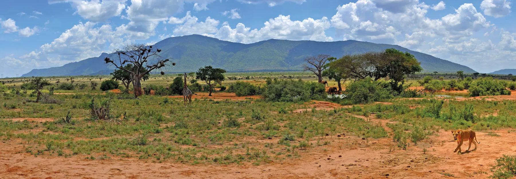
Japanese consultants are planning to realign a Kenyan bypass, as Shem Oirere reports. Japanese consultants are resolving an engineering quagmire involving a 17.5km bypass in Kenya's Coast region. The new design realigning the bypass is underway by Japanese International Cooperation Agency (JICA) consultants. The road is an alternative link from the hinterland to the south coast and to the proposed Dongo Kundu Port. The 23m-wide bypass would also serve to reduce traffic congestion across the Likoni Channel.
Japanese consultants are planning to realign a Kenyan bypass, as Shem Oirere reports
Japanese consultants are resolving an engineering quagmire involving a 17.5km bypass in Kenya's Coast region.The new design realigning the bypass is underway by Japanese International Cooperation Agency (JICA) consultants. The road is an alternative link from the hinterland to the south coast and to the proposed Dongo Kundu Port. The 23m-wide bypass would also serve to reduce traffic congestion across the Likoni Channel through to the ferry, according to the
The bypass is part of the
It is expected that the bypass, in the pipeline for over 40 years, will be developed into a coastal highway in East Africa linking Tanzania’s capital Dar es Salaam to Kenya’s tourist-famous Malindi town.
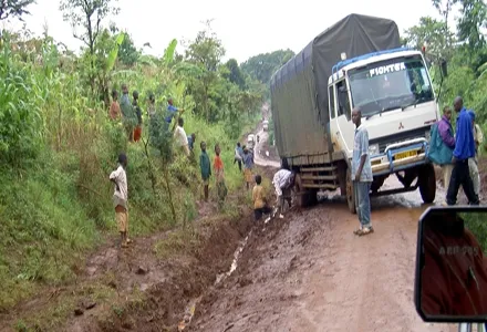
The realignment of the US$45 million bypass will help overcome the sloppy stretches and sections under mangrove, with the consultants also seeking to reduce the number of people to be displaced to pave the way for the project. Initially a total of 600 land owners were to be displaced but now JICA consultants are working at leaving out an estimated 253 households under the realigned project.
“The original project design is being reviewed by the JICA consultant team so as to ensure that fewer people are affected, natural conditions are preserved, better alignments and road reserves are secured for the necessary developments, and expansion of the road at present and in the future,” KeNHA says in a briefing on the project.
The JICA consultant, Katahira and Engineers International, say the new bypass plan will not only mitigate the expected challenge posed by the mangroves and steep slopes for operations of loaded trucks, but will also reduce the number of affected people and cultural sites to be demolished by the construction.
“By avoiding crowded areas, we will reduce the construction costs,” Kioyoshi Mukai, one of the experts was recently quoted as saying.
Katahira’s executive director Soemu Oshita said: “We wanted the road to pass through less crowded areas so as to get enough space for future expansion.”
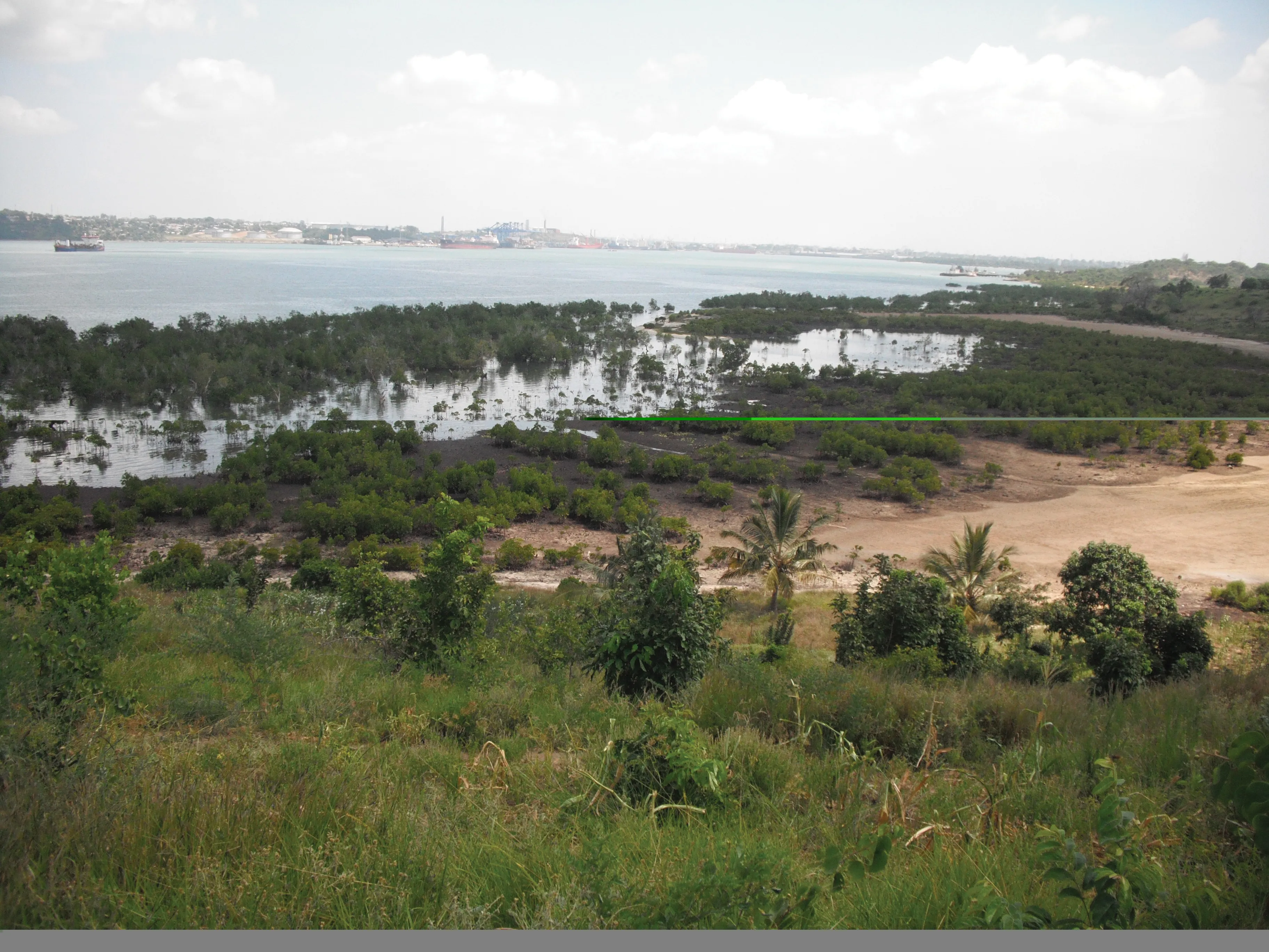
Another expert, Koyo Ogasawara said: “We will make sure that there are minimal effects on mangroves during the construction of the two big bridges across Mwache and Mteza creeks.”
According to the initial project plan, designed by infrastructure and business services group
The project has two major components and will also involve the widening of the 2km road to the Moi International Airport in Mombasa.
Phase one of the bypass consists of the 17.5km road starting from Miritini, west of Moi International Airport, on the central south mainland, passing through the proposed Dongo Kundu Port on the south mainland and ending at Vumirirani on the A14 Coast Road.
Two viaduct bridges will be constructed: the 495m long Mwache at Mkupe, which will cross water; while of the 1,360m long Mteza at Dongo Kundu, 760m will be across mangrove and mud flats (600m across water).
Phase two of the project involves improvement of roads supplementing the bypass on the north mainland and Mombasa Island. The roads include Barack Obama (2.5km); Port Reitz (2.3km); Magongo (0.6km); Mombasa Western Relief (2.6km); and a 6km link road from the proposed new container terminal to the bypass. A four-lane bridge will also be constructed over the railway to connect to Lumumba Road.
When completed in three years, the two components of the project will help reduce congestion at the three links to Mombasa Island (Makupa Causeway, Nyali Bridge and Likoni Ferry), which on average carry 82,000 vehicles/day.
Permanent Secretary in the Ministry of Roads Michael Kamau, says the over-reliance on Likoni Ferry to connect to Mombasa Island is no longer feasible.
“Increased economic activity and population growth demand an uninterrupted flow of traffic and goods, and this can only be made possible by the Dongo Kundu bypass,” he said.