International environmental pressure groups claim a vital road in Kenya goes through parkland as Shem Oirere reports. Kenya’s Nairobi Southern Bypass, a 28.6km stretch has become the second road project in East Africa to run into problems. Designed to the Class A International Trunk Road Standard, the route has been targeted by international environmental pressure groups following Tanzania’s Serengeti Highway, which was derailed last year. The US$208 million bypass will link Mombasa Road, near Ole Sereni Ho
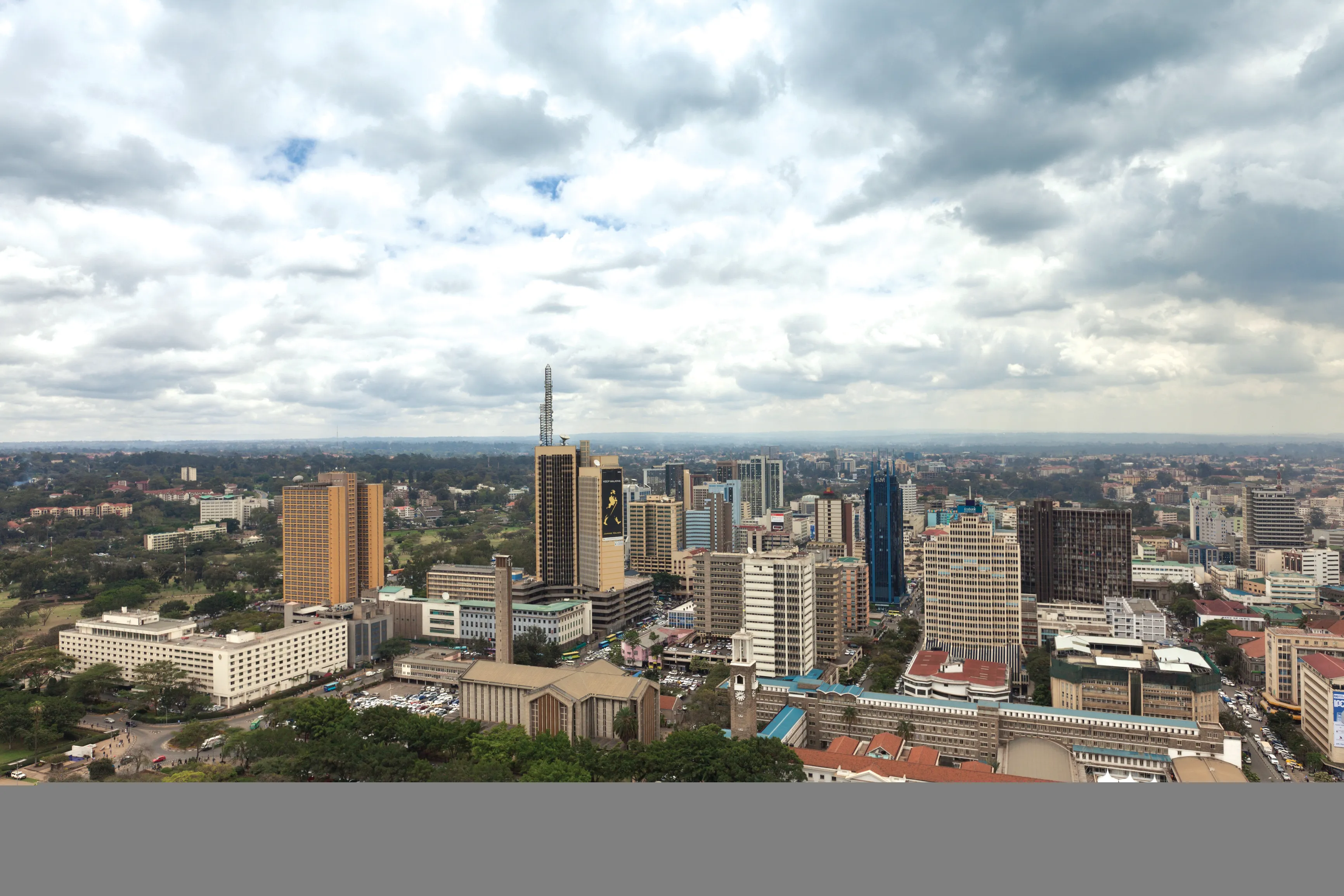
International environmental pressure groups claim a vital road in Kenya goes through parkland as Shem Oirere reports
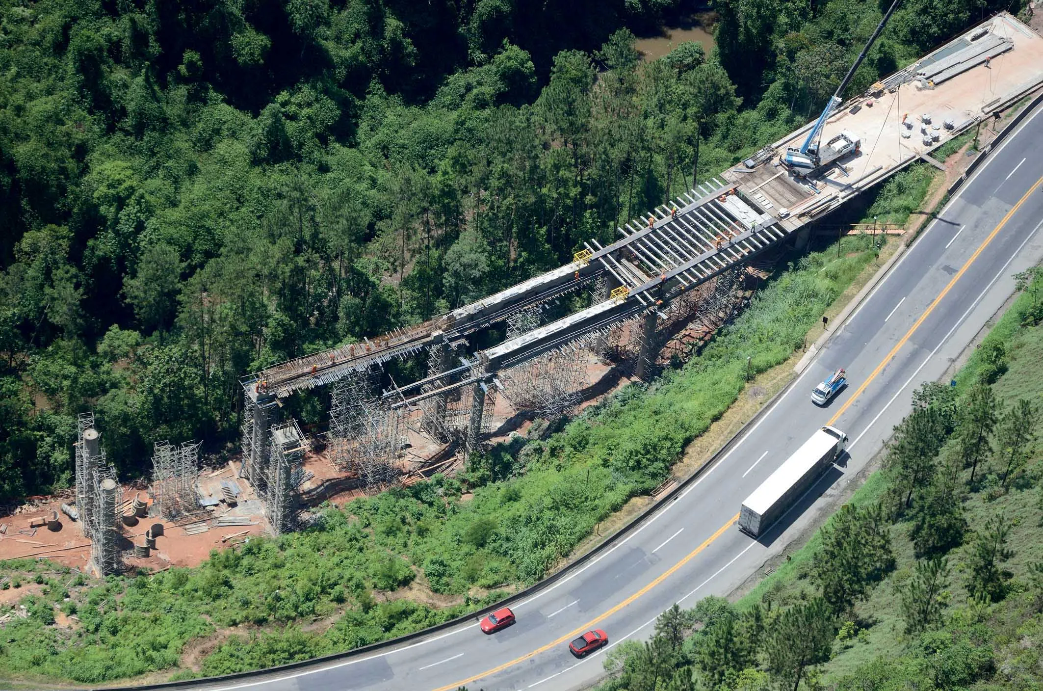
Kenya’s Nairobi Southern Bypass, a 28.6km stretch has become the second road project in East Africa to run into problems.Designed to the Class A International Trunk Road Standard, the route has been targeted by international environmental pressure groups following Tanzania’s Serengeti Highway, which was derailed last year.
The US$208 million bypass will link Mombasa Road, near Ole Sereni Hotel, through Nairobi National Park into Kikuyu town, on the Nairobi-Nakuru Highway at Rironi.
The bypass is said to be an answer to the capital city’s dilemma of being located in the confluence of an international trunk road that is subjected to heavy transit traffic congestion, which cuts through it for lack of a bypass or ring road, says a report.
Two service roads, a 6km Mombasa- Lang’ata road and 2.5km Lang’ata Road-Ngong’ Forest Road will be added to the bypass project.
Both service roads have the same cross-section of 0.5m soil shoulder; 2m hard shoulder; 2×3.5m carriageway; +0.5m soil shoulder.
The bypass will be dual four-lane carriage ways on 22.5m wide subgrade with a design speed of 80km/hour.
China Road and Bridge Construction Corporation (CRBC) has been awarded the engineering procurement and construction contract for the bypass link, which is considered critical in easing transport in Nairobi and to allow the movement of cargo from the port of Mombasa to neighbouring countries of Uganda, Rwanda and Burundi.
However, opposition to the project has been mounting with a group of local and international organisations saying that constructing the road through the Nairobi National Park will endanger the protected area.
The organisations under an umbrella group, Friends of the Nairobi National Park, successfully petitioned the National Environmental Tribunal in June after accusing the Ministry of Roads and the National Environmental Management Authority (NEMA) of encroachment into the park, the only protected area in the world close to a capital city.
The group is particularly opposed to the construction of the stretch between Mombasa Road and Lang’ata Road, arguing the dual carriageway will eat into the park’s land.
“The Environmental Impact Assessment [EIA] submitted to NEMA concerned a road bypass. However, the road has since been expanded into a corridor with two railway lines. Under these circumstances, the Environmental Management and Coordination Act (EMCA) requires a fresh proposal for the project and a new assessment must be taken,” the group argues in its petition to the government.
“The corridor is now 120m wide, thus encroaching even further into the National Park.
“A licence issued by NEMA on 18 February, 2011 said the bypass should not encroach on the Nairobi National Park, yet 4km of the new road is aligned in the park and therefore constitutes a breach of EMCA under which the license was issued.”
The Cabinet, chaired by President Mwai Kibaki, held on 17 May, 2012 approved excision of 60 acres (24.2 hectares) of land occupied by the park for the development of the corridor. The Cabinet said the government will find alternative suitable land for compulsory acquisition and “amalgamated to Nairobi National Park so as to maintain the size and ecological resources of the park.”
NEMA has dismissed the concerns of the environmental organisations and insisted no land belonging to the park has been encroached on by the bypass, which was commissioned by President Kibaki earlier this year.
“We wish to inform the public
KeNHA is a state agency for developing national highways.
“The authority promotes integration of environmental considerations into development, policies, plans, programmes and projects with a view to ensuring the proper management and rational utilisation of environmental resources on a sustainable yield basis for improvement of Kenyans.”
A joint report by the contractor and KeNHA says: “The Southern Bypass may encroach on the edge of the Nairobi National Park along the existing service road running from Mombasa road through to Lang’ata Road. However, the impacts will not be adverse since the bypass follows the boundary of the national park and thus does not affect movement routes, mating grounds and corridors followed by the wild animals.”
The bypass will link up Nairobi’s trunk roads of Mombasa, Outer Ring, Lang’ata (C58), Ngong (C60), Dagoretti (C63), Thogoto (D411). It will pass over the Ondiri River before joining the Kabete Limuru road (A104) in the town of Kikuyu, south-west Nairobi.
“The project road, once completed, will provide the Nairobi metropolitan area with a vital high-speed artery for the traffic, hence facilitating prompt diversion of the transit traffic and the urban traffic movement,” the report adds.