Colombia’s Toyo Tunnel project will provide an important new link for the country, writes Mauro Nogarin. The new Toyo Tunnel project is of immense importance for Colombia, improving transportation and providing an important road link. The work is being carried out by the Antioquia to the Sea Consortium, which comprises of FCC Construction, Cass Builders and Company, Carlos Alberto Solarte and Estyma Studies and Handling. These firms are building the Toyo Tunnel project and the various access roads, with the
Colombia’s Toyo Tunnel project will provide an important new link for the country, writes Mauro Nogarin
The new Toyo Tunnel project is of immense importance for Colombia, improving transportation and providing an important road link. The work is being carried out by the Antioquia to the Sea Consortium, which comprises of FCC Construction, Cass Builders and Company, Carlos Alberto Solarte and Estyma Studies and Handling. These firms are building the Toyo Tunnel project and the various access roads, with the joint venture partners handling pre-construction, construction, operation and maintenance. The tunnel will boost connections for the port of Uraba in Santa Fe de Antioquia, about 80km north of Medellin. The project has a budget of €392 million and the funding is structured over a period of 10 years. The pre-construction phase for the project has a timescale of 18 months, the construction phase six months, and the operation and maintenance phase is taking two years and six months.
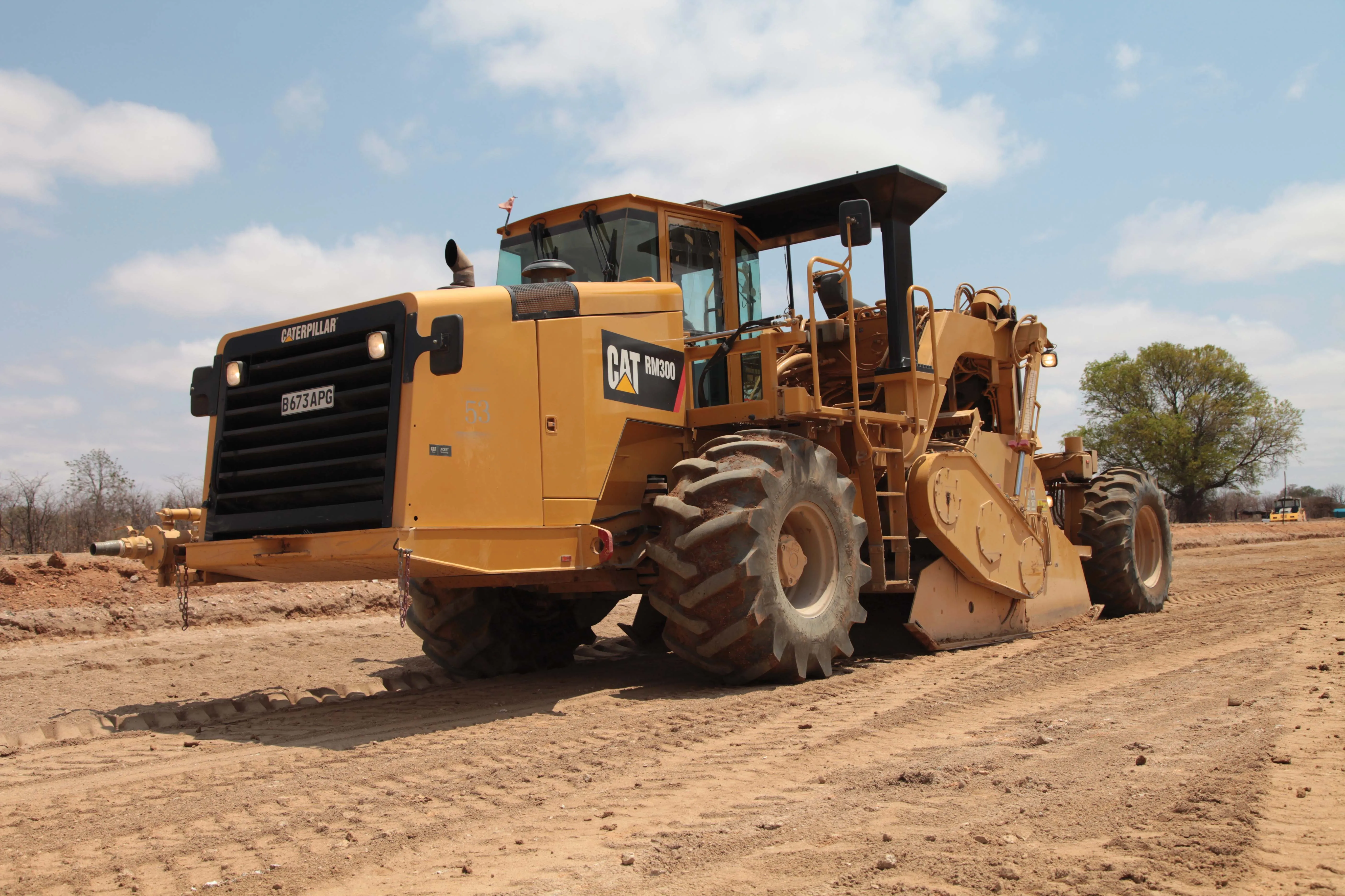
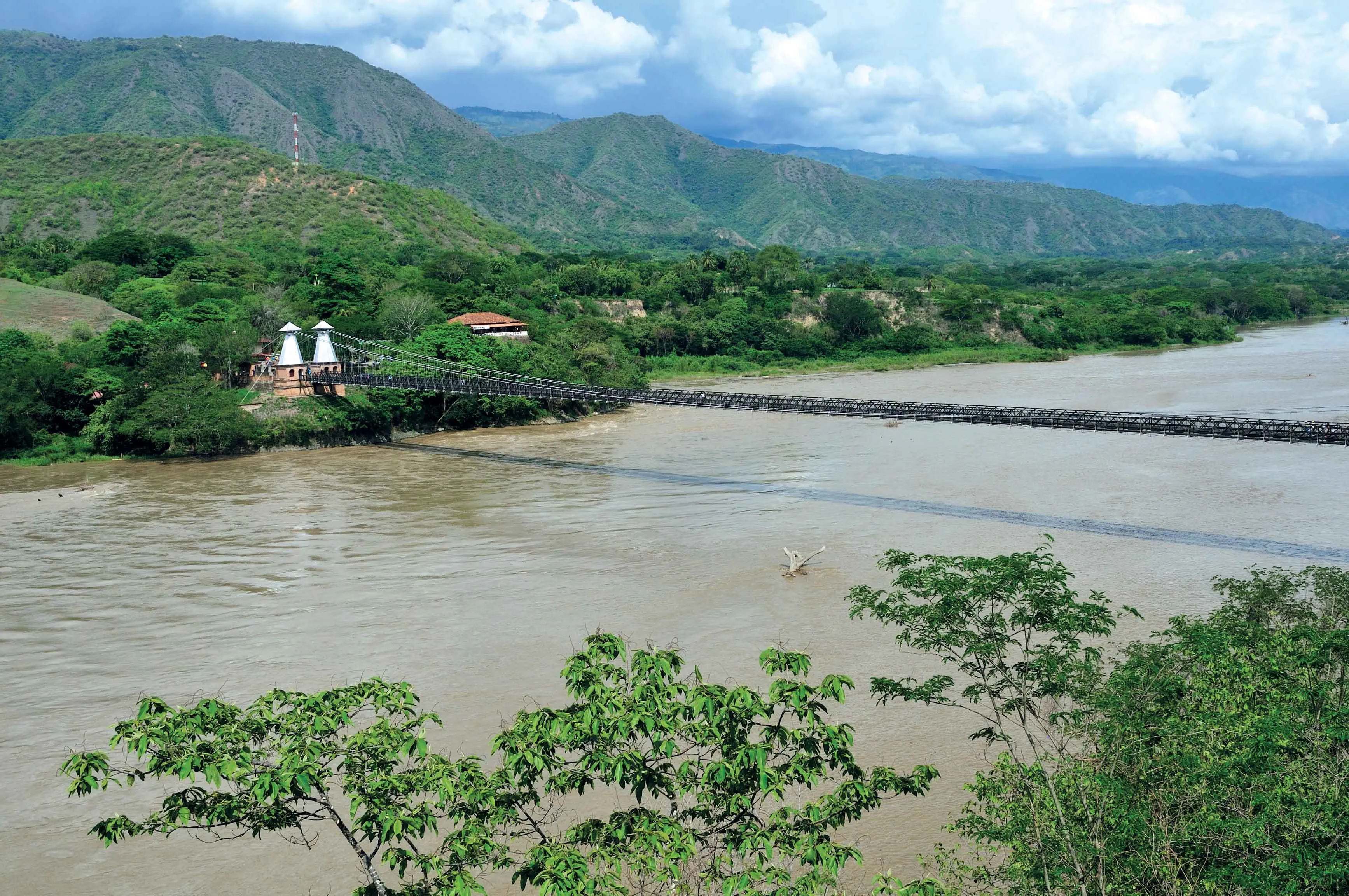
The tunnel route is located between the municipalities of Giraldo and Cañasgordas on the new road to Uraba. The tunnel runs through the mountains of western Antioquia, an area currently inaccessible due to the challenging geography. The work involves the construction of a stretch of road measuring 40.84km long. This access road will carry two-way traffic and feature one lane in either direction, except for the first 2km, where the road is a dual carriageway with two lanes in each direction. Within the four-lane section, only section 1 will be subject to new construction, which starts at kilometre 22 and ends at kilometre 40 for a total of 18.32km.
The topography over which this road will be built corresponds to a very mountainous area. The maximum vehicle speed will be 80km/h. The route includes a series of tunnels and bridges of different lengths. 46% of the route runs in tunnels or viaducts. The tunnels are expected to stretch for 12.3km in all, with 9.8km for the main Toyo Tunnel and once completed, the Toyo tunnel will be the longest in the country. This new transport infrastructure is a considerable improvement to the connectivity between Medellin and Uraba, as the travel time will be reduced from six hours to four hours by truck and 3.5 hours private car.
Geologically most of the Toyo Tunnel runs through limestone and volcanic rocks with a wide range of compositional and textural changes (Volcanic mud) + Ksu (Siltstone). The geomorphological features along the Toyo Tunnel are quite heterogeneous, which will require the construction teams to use different types of supports.
According to the designs for structural engineering performed by FCC teams, the proven NATM method is considered the most appropriate construction method for both short tunnels as well as the Toyo Tunnel. This method ensures safety, performance, progress and costs to meet the technical and financial requirements set out in the contract.
The maximum advance for the first phase of excavation will be limited to 4m/day in good quality rock, without the placement of the primary supports. However this will be limited to 1m/day in the areas featuring residual soils. The advance rate also depends heavily on the lithology of the excavation, the geomechanical rock quality and depth, with the work being carried out in accordance with the recommendations contained in the Through Tunnels Study
Throughout the construction phase a continuous geotechnical log is being made, which will contain the PK, lithology, solid structure, fracturing and alteration, presence of water, solid quality index RMR or GSI and geological survey of the excavation. During the excavation work, equipment will be used to measure the strength of the vibrations produced in the surface by blasting. This will ensure that vibration levels are minimised on the surface so as to prevent any possible damage to buildings or other structures.
At each stage of excavation the information available from the primary survey is analysed. Inside the tunnel, all necessary geo-mechanical measures are being used to ensure the stability of the excavation work. Readings are taken from instrumentation to determine the type of support needed and also to determine working conditions for the workforce. Details being worked out will include lighting, ventilation and personal safety equipment. All necessary measures designed to ensure the safety of workers in relation to the movement of the heavy machinery will be taken.
According to the current design, each tunnel will have a minimum carriageway width of 8m, with 0.5m berms on each side. The lateral platforms will be 1m in width and a minimum height of 5m, the ventilation system will be natural for the small tunnels. In the Toyo Tunnel, the design will have a transversal or semi transversal profile, which will generally feature waterproofing using geotextile + PVC cloth. The road has a length of 18.32km and features lanes with a minimum width of 7.3m for the lanes and a width of 1.8m minimum berm. The basic features of the route call for a design speed of 80 km/h, with curves featuring a minimum radius of 229m and a maximum gradient of 6%.
The road surface will be made of flexible pavement. The construction of this will include an improvement of the subgrade, as well as a sub-base. On top of this will be laid a primed base of dense hot mix type MDC type 1 for the asphalt base and finally a dense mix hot MDC type - 2 for the road surface. For the construction of the roads and bridges all specifications will meet the standards set by Colombia’s National Institute of Highways.
The new Toyo Tunnel project is of immense importance for Colombia, improving transportation and providing an important road link. The work is being carried out by the Antioquia to the Sea Consortium, which comprises of FCC Construction, Cass Builders and Company, Carlos Alberto Solarte and Estyma Studies and Handling. These firms are building the Toyo Tunnel project and the various access roads, with the joint venture partners handling pre-construction, construction, operation and maintenance. The tunnel will boost connections for the port of Uraba in Santa Fe de Antioquia, about 80km north of Medellin. The project has a budget of €392 million and the funding is structured over a period of 10 years. The pre-construction phase for the project has a timescale of 18 months, the construction phase six months, and the operation and maintenance phase is taking two years and six months.
The tunnel route is located between the municipalities of Giraldo and Cañasgordas on the new road to Uraba. The tunnel runs through the mountains of western Antioquia, an area currently inaccessible due to the challenging geography. The work involves the construction of a stretch of road measuring 40.84km long. This access road will carry two-way traffic and feature one lane in either direction, except for the first 2km, where the road is a dual carriageway with two lanes in each direction. Within the four-lane section, only section 1 will be subject to new construction, which starts at kilometre 22 and ends at kilometre 40 for a total of 18.32km.
The topography over which this road will be built corresponds to a very mountainous area. The maximum vehicle speed will be 80km/h. The route includes a series of tunnels and bridges of different lengths. 46% of the route runs in tunnels or viaducts. The tunnels are expected to stretch for 12.3km in all, with 9.8km for the main Toyo Tunnel and once completed, the Toyo tunnel will be the longest in the country. This new transport infrastructure is a considerable improvement to the connectivity between Medellin and Uraba, as the travel time will be reduced from six hours to four hours by truck and 3.5 hours private car.
Geologically most of the Toyo Tunnel runs through limestone and volcanic rocks with a wide range of compositional and textural changes (Volcanic mud) + Ksu (Siltstone). The geomorphological features along the Toyo Tunnel are quite heterogeneous, which will require the construction teams to use different types of supports.
According to the designs for structural engineering performed by FCC teams, the proven NATM method is considered the most appropriate construction method for both short tunnels as well as the Toyo Tunnel. This method ensures safety, performance, progress and costs to meet the technical and financial requirements set out in the contract.
The maximum advance for the first phase of excavation will be limited to 4m/day in good quality rock, without the placement of the primary supports. However this will be limited to 1m/day in the areas featuring residual soils. The advance rate also depends heavily on the lithology of the excavation, the geomechanical rock quality and depth, with the work being carried out in accordance with the recommendations contained in the Through Tunnels Study
Throughout the construction phase a continuous geotechnical log is being made, which will contain the PK, lithology, solid structure, fracturing and alteration, presence of water, solid quality index RMR or GSI and geological survey of the excavation. During the excavation work, equipment will be used to measure the strength of the vibrations produced in the surface by blasting. This will ensure that vibration levels are minimised on the surface so as to prevent any possible damage to buildings or other structures.
At each stage of excavation the information available from the primary survey is analysed. Inside the tunnel, all necessary geo-mechanical measures are being used to ensure the stability of the excavation work. Readings are taken from instrumentation to determine the type of support needed and also to determine working conditions for the workforce. Details being worked out will include lighting, ventilation and personal safety equipment. All necessary measures designed to ensure the safety of workers in relation to the movement of the heavy machinery will be taken.
According to the current design, each tunnel will have a minimum carriageway width of 8m, with 0.5m berms on each side. The lateral platforms will be 1m in width and a minimum height of 5m, the ventilation system will be natural for the small tunnels. In the Toyo Tunnel, the design will have a transversal or semi transversal profile, which will generally feature waterproofing using geotextile + PVC cloth. The road has a length of 18.32km and features lanes with a minimum width of 7.3m for the lanes and a width of 1.8m minimum berm. The basic features of the route call for a design speed of 80 km/h, with curves featuring a minimum radius of 229m and a maximum gradient of 6%.
The road surface will be made of flexible pavement. The construction of this will include an improvement of the subgrade, as well as a sub-base. On top of this will be laid a primed base of dense hot mix type MDC type 1 for the asphalt base and finally a dense mix hot MDC type - 2 for the road surface. For the construction of the roads and bridges all specifications will meet the standards set by Colombia’s National Institute of Highways.