Get the real picture with Image Logger

RoadBotics has placed time-stamped geo-spatial images on GIS-enabled maps.
By David Arminas July 31, 2020 Read time: 2 mins
Image Logger, the first product in the company’s cloud-based RoadWay Operating System online platform

RoadBotics is announcing the addition of Image Logger to its growing suite of products to help communities digitise assets such as roads, sidewalks and trails.

The company, based in Pittsburgh in the US state of Pennsylvania, said the technology places time-stamped geo-spatial image data on a GIS-enabled map. The result allows local authorities to view all public assets on one platform - from a desk or out in the field.

“The Image Logger is a great addition to our existing products and tools for road and infrastructure management,” said Matt Lucas, head of product at Roadbotics. “It helps our clients to better administer their assets while saving valuable resources.”

RoadBotics - known for automated pavement assessments using a smartphone for data collection –users can collect data on roads and adjacent assets such as signage and public right of ways including sidewalks, bike trails and walking paths. Whether collected monthly, seasonally or before and after maintenance projects, up-to-date data is invaluable for asset management.

The Image Logger  was released in early June as the first product for the company’s new RoadWay Operating System, a cloud-based online platform. RoadWay OS helps governments manage and administer their public infrastructure asset data in one central location. “Image Logger accomplishes that objective by the ease of use and breadth of data available,” said Benjamin Schmidt, president and co-founder of RoadBotics.

Roadway OS is also available to outside consultants and professionals who help governments maintain infrastructure, whether this is managing tactical day-to-day operations or enhancing strategic planning.

Related Content

  • Ferrovial, Acciona among Bentley winners
    November 22, 2022
    Finalists presented their projects at Bentley’s recent Going Digital Awards event in London.
  • Leica’s high-tech 5
    August 14, 2012
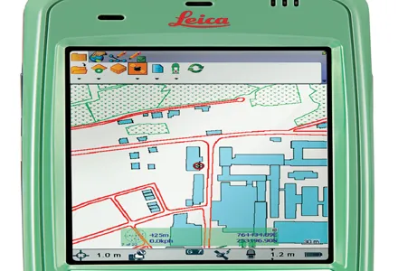
    The new Leica Zeno 5 is said to be an entrylevel, rugged personal digital assistant (PDA) for organisations that require a durable compact device with integrated modem and high-sensitive GPS. The Leica Geosystems technology supports field workers by combining a mobile phone with asset collection and management capabilities. The Leica Zeno 5 is said to be shock resistant, withstands a drop from to 1.8m, and is protected against water and dust. The large 9.4cm screen is optimised for sunlight readability and
  • Latest innovations in GPS and machine control
    February 22, 2012
    Modern satellite technology is making life easier for everyone on the construction site and in the office. Most major equipment manufacturers are now integrating GPS machine control systems into the design of excavators, bulldozers, pavers, and motor graders. For stake-less work it is a major component for automatic grading, surveying, and excavating systems, with contractors and construction companies using GPS machine control systems to improve operations.
  • Accurate weigh-in-motion technology
    June 21, 2016
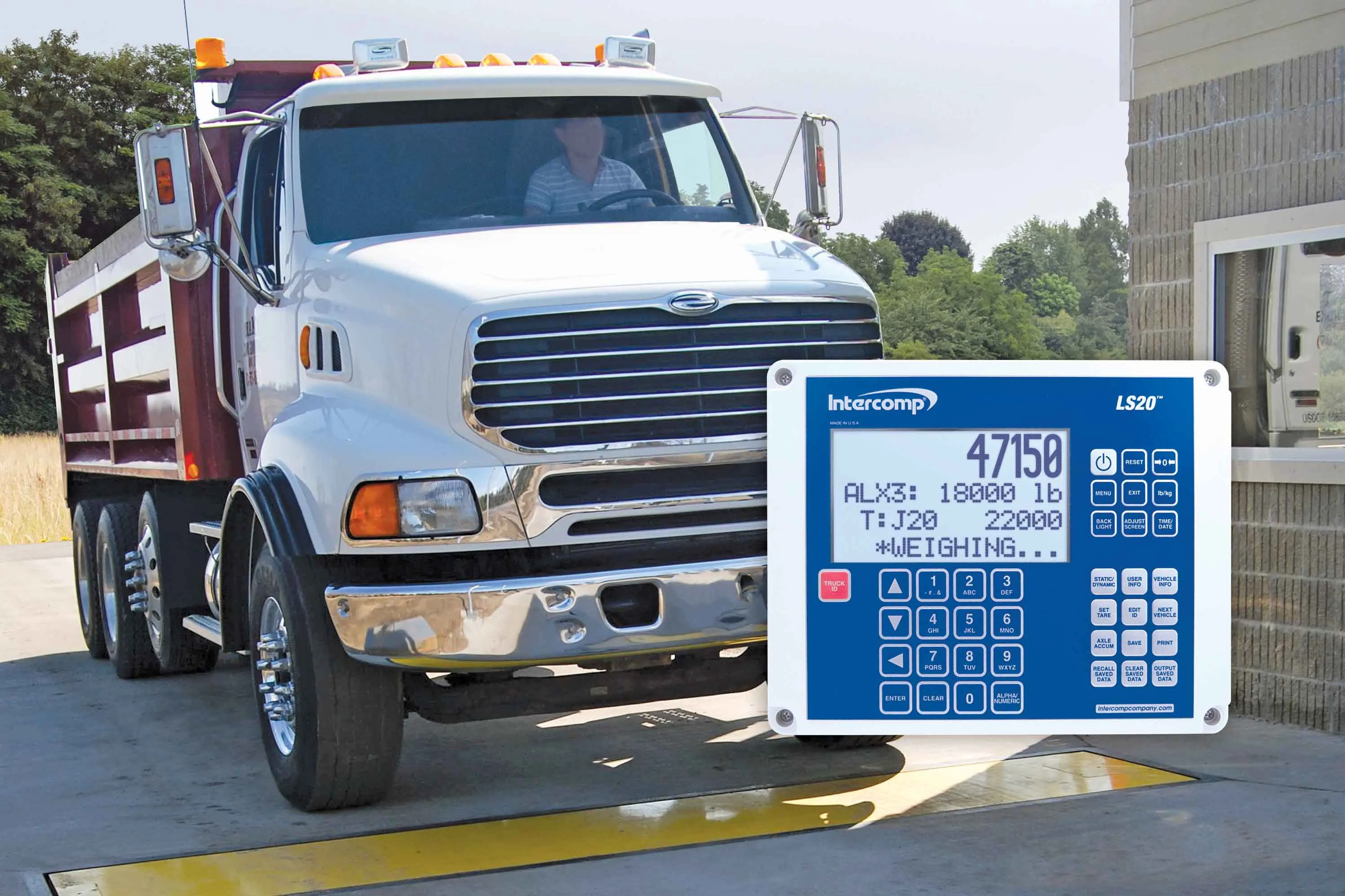
    Weigh-in-motion technology is ensuring increasingly accurate, and flexible, weighing stations. Weigh-in-motion specialist manufacturer Axtec says that its space-saving dynamic weighbridge is accurate to within ±0.5% and is the most precise system in the world. From its Runcorn, UK manufacturing facility, Axtec undertakes research and development of new technologies, as well as software testing, fabrication, construction and installation of WIM products. Axtec’s axle weighing platform design is intended f