Firm Grip: Liebherr, Leica and Steelwrist

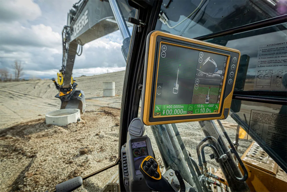
The Leica Co-Pilot system controlling the Steelwrist X32 tiltrotator makes the job that little bit quicker and more accurate.
By David Arminas March 11, 2021 Read time: 2 mins
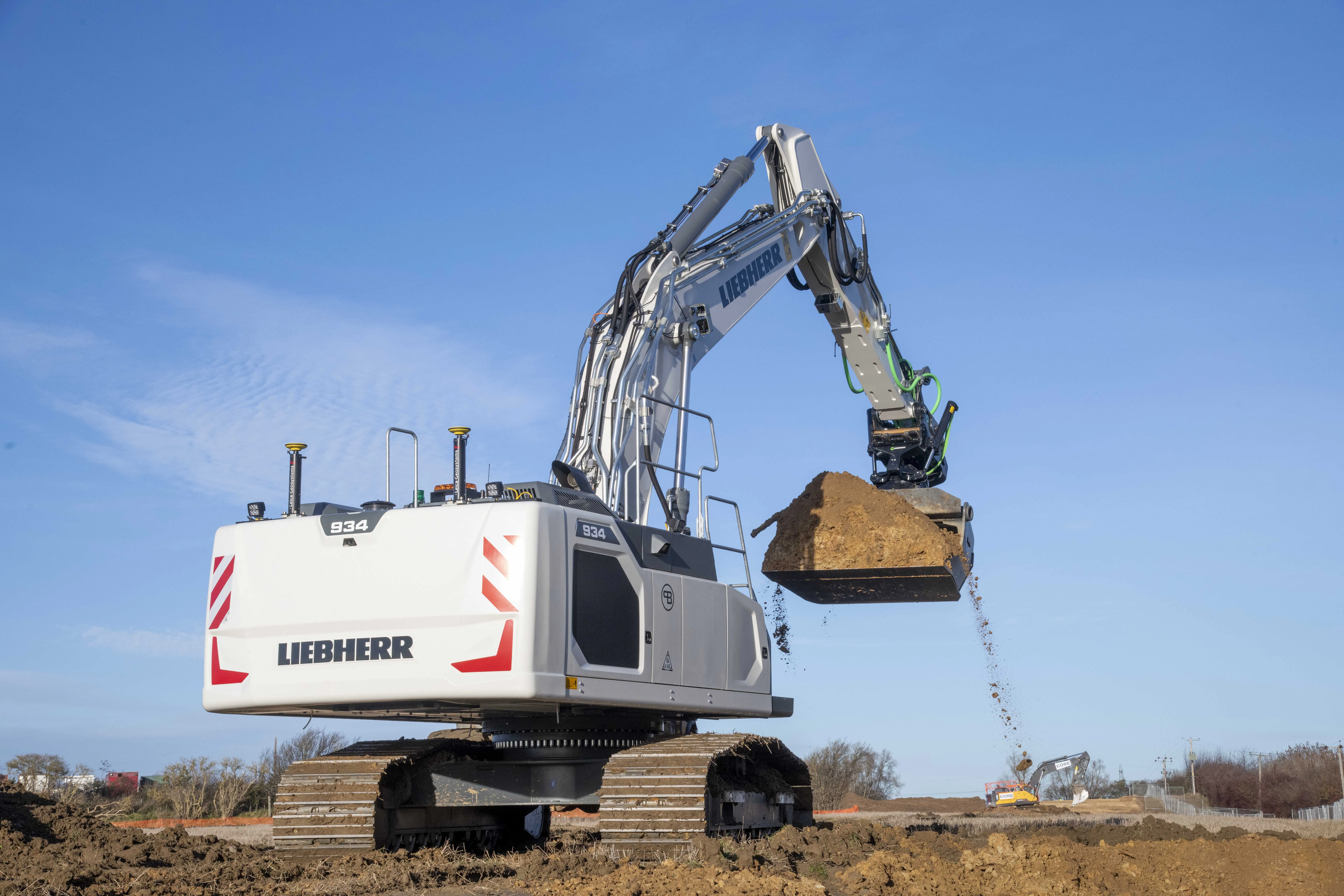
Winning combination: the Leibherr R 934 G8 crawler fitted with GPS guidance from Leica Geosystems and with a Steelwrist X32 tiltrotator attachment

The first Liebherr excavator in the world with a factory-fitted Leica machine control system has gone into service with a UK civil engineering contractor.

An R 934 G8 crawler, the first to leave the factory in France since Liebherr and Leica Geosystems joined forces last year, has been added to the fleet at Brad-Pave. It is equipped with the Leica 3D passive system soon to be updated to include automatic inclination/rotation function.

Brad-Pave - which employs only four people and is based in England - specialises in road construction, deep drainage and earthmoving.

The machine arrived in the UK towards the end of last year with an operating weight of almost 38.5 tonnes. But soon after, a Steelwrist X32 tiltrotator on 80mm pins was added, taking the total package to just over 40 tonnes.

“We’ve used GPS guidance for a number of years and having the opportunity to have an integrated system on a Liebherr excavator was an ideal scenario for us,” said Paul Bradshaw, director of Brad-Pave.

“We are hoping that one of the benefits of taking this option will be the increased reliability of a built-in system. Not only does it do away with the requirement for traditional setting-out but it is almost 100% fool-proof. The addition of the Leica Co-Pilot system controlling the Steelwrist will just make any project that little bit quicker and more accurate,” said Bradshaw.

The partnership between Liebherr and Leica Geosystems enables customers to buy generation 6 and 8 crawler and wheeled excavators with 2D or 3D control systems as an option.

Leica Geosystems, part of the Hexagon Group, supplies of sensors, software and services for surveying, construction, infrastructure, mining, mapping and other geospatial content-dependent industries.

For more information on companies in this article

Related Content

  • SWARCO delivers prism signs to Highways England
    December 14, 2020
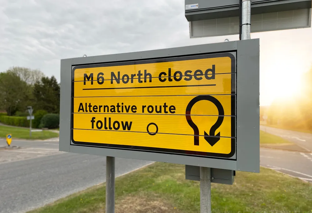
    SWARCO Traffic has specified and installed 10 of its prism signs, managed by its cloud-based Zephyr solution, along the UK’s M6 motorway in northern England. The signs help to advise drivers of diversion routes and other traffic information and updates for Highways England along the M6 in county Cumbria.
  • Maximising Earthworks Productivity with Topcon’s Auto Excavator
    December 14, 2021
    In a recent McKinsey survey of 400 construction industry CxOs, 87 per cent said that skilled labour was becoming increasingly scarce and expensive, and almost half said this will impact the whole industry in the next year (1)
  • Volvo CE bridging the gap for new Indian transport links
    December 11, 2013
    The old Pakuria Bridge in Jharkhand, India, ran over a dry riverbed and railway line situated 20km from Calcutta. Now obsolete, the bridge has been brought to the ground in 60 days using Volvo construction equipment West Bengal in eastern India is the nation’s fourth most populous region, boasting more people than the whole of Germany. The state is bordered by Nepal, Bhutan, Bangladesh, and five other states of India with more than 91 million inhabitants spread over 34,267m².
  • Mobile mapping innovation
    June 1, 2022
    There are millions of kilometres of roads and features that need to be mapped in today’s world. We see a strong vision and application for the future, therefore Leica Geosystems, part of Hexagon, recently announced the introduction of the reality capture mobile mapping system Leica Pegasus TRK, introducing artificial intelligence, autonomous workflows and intuitive interfaces. This technology goes beyond the capabilities of what’s already been done, making it the perfect companion for today’s mobile mapping requirements.