Iteris to enhance Inland Empire's 511 traveller information system

Iteris has been awarded a US$1.5 million, five-year contract by the Riverside County Transportation Commission (RCTC), in cooperation with the San Bernardino Associated Governments (SANBAG), to operate and maintain the Inland Empire's 511 traveller information system.
March 16, 2012 Read time: 2 mins

253 Iteris has been awarded a US$1.5 million, five-year contract by the Riverside County Transportation Commission (RCTC), in cooperation with the San Bernardino Associated Governments (SANBAG), to operate and maintain the Inland Empire's 511 traveller information system.

The 3991 IE511 system, which formally launched in June 2010, provides this growing area to the east of Los Angeles with a comprehensive, multi-media, traffic, and transit traveller information system. Iteris engineered and deployed key elements of the IE 511 system, including interactive web-based traffic maps and an interactive voice response (IVR) telephone system. The interactive maps display travel times on major highways, changeable message signs, video images from roadside cameras, and identify incidents and SigAlerts as reported by the California Highway Patrol.

Under this new contract, Iteris will be converting the existing IVR platform to its proprietary IVR to reduce ongoing costs, and streamline the operations and maintenance of the overall 511 system, reporting regularly to RCTC on system up-time and user statistics. Work on the project expected to run through June 2016.

"This is the next step in enhancing overall traveller information services to the residents and commuters throughout the Inland Empire. Not only will our team continue to provide vital, real-time, and accurate information, but we are also enhancing the overall service to efficiently respond to the increasing demand of the service," stated Robert Yates, RCTC multimodal services director.

For more information on companies in this article

Related Content

  • Positioning tools continue to improve
    July 16, 2012
    Topcon says that its new IP-S2 package combines GNNS positioning capabilities with inertial sensors, while the firm also has a solution for customers wanting to mix and match receiver components. The IP-S2 is a vehicle-mounted, mobile 3D tool that offers precision mapping and surveying capabilities. The package collects data using 3D laser scanners, LIDAR, and/or cameras, and this is then integrated, time-stamped and geo-referenced. The customer can use this assembled data to combine LIDAR point cloud and d
  • River level monitoring to reduce scour risk
    July 11, 2022
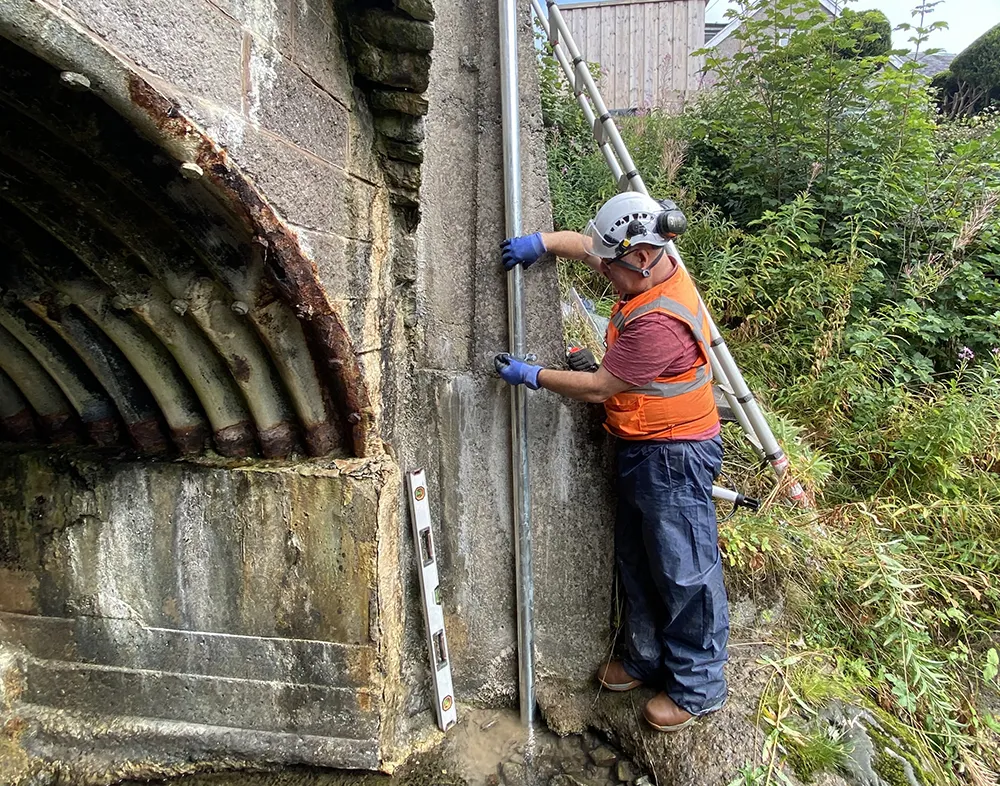
    An OTT ecoLog 1000 water level logger with cellular data connection to Hydromet Cloud was trialled upon the Vales Burn Bridge in Scotland
  • A virtual virtuous circle
    March 19, 2021
    Virtual sensors will allow a safer driving experience and reduce road maintenance costs. Tactile Mobility’s Eitan Grosbard talks to David Arminas
  • Vaisala hits the road in the US with Condition Patrol
    March 19, 2012
    Vaisala, a global leader in environmental management, is launching Condition Patrol with the promise that, for the first time, road maintenance departments now have the ability to access weather data from their entire networks of roads with mobile sensor technology developed by the company.