The first data-collecting sensors as part of a delayed but major roads project have been stationed atop traffic light poles in Chicago.
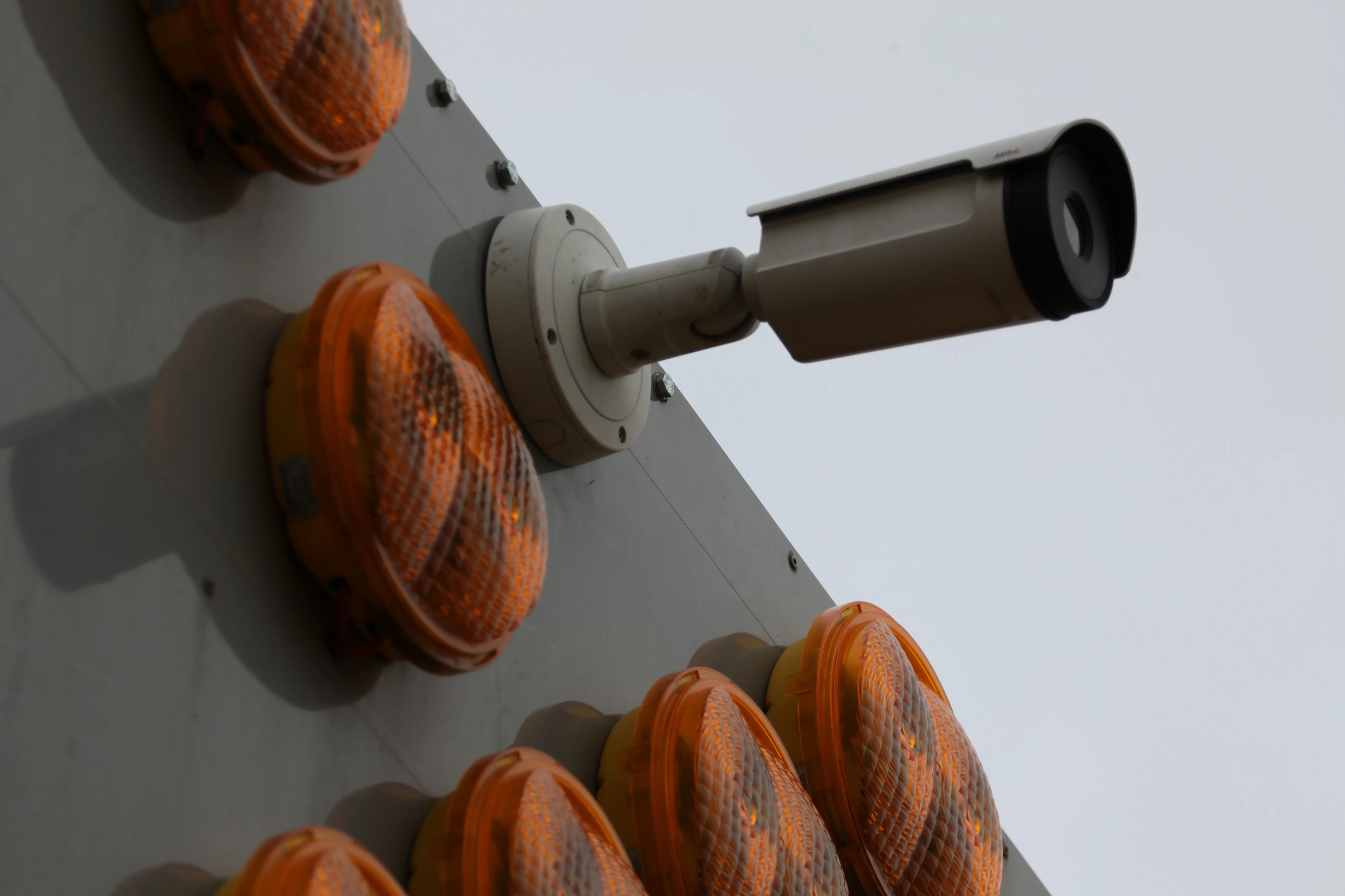
The US city installed two nodes containing computers and sensors including low-resolution cameras as well as air quality sensors, according to a report in the Chicago Tribune newspaper.
It is part of the Array of Things project that was supposed to start in 2014. Array is a collaboration between the University of Chicago, Argonne National Laboratory and the School of the Art Institute of Chicago. AT&T is the internet provider. The project is backed by $3.1 million from the National Science Foundation.
System software will analyse images to count pedestrians and vehicles and release the data for free on the city of Chicago's Data Portal and the Plenar.io portal. But the portals are still undergoing development, according to the article. The initial objects are to establish traffic and pedestrian patterns, detect flooding during adverse weather and analyse air quality.
However, there could be up to 80 nodes positioned around the city by the end of the year, according to comments by Charlie Catlett, director of the Urban Center and Computation and Data at the University of Chicago and Argonne and a leader of the project. Upwards of 500 could be collecting data by the end of 2018.
Rights groups have expressed concern over ‘big brother is watching you’ issues and the city recently finalised a privacy policy covering some details of how data will be used. The Tribune article noted that there remains issues over what access law enforcement organisations would have to the data.
Chicago kicks off the Array of Things project
The first data-collecting sensors as part of a delayed but major roads project have been stationed atop traffic light poles in Chicago. The US city installed two nodes containing computers and sensors including low-resolution cameras as well as air quality sensors, according to a report in the Chicago Tribune newspaper.
September 12, 2016
Read time: 2 mins


