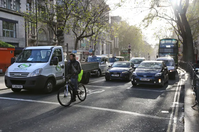
GNSS road pricing a step closer

GNSS road pricing a step closer. Today, road transport faces major challenges such as the ever-increasing need for safety, as well as for reduced congestion and pollution.
February 23, 2012 Read time: 2 mins

2462 IRF BPC bringing GNSS-based road pricing a step closer to maturity

Today, road transport faces major challenges such as the ever-increasing need for safety, as well as for reduced congestion and pollution. These problems are particularly critical in highly populated zones, notably big cities and their surrounding areas.

Different schemes are being proposed to improve the situation, including road pricing systems to automatically charge drivers for their use of road infrastructures.

The booming use of Personal Navigation Devices (PND) opens new and challenging opportunities for the implementation of innovative satellite-based applications beyond basic navigational functions. Apart from road pricing systems, these include other promising applications such as Pay-As-You-Drive (PAYD) schemes for the insurance sector and leasing companies and the like, as well as Value Added Services (VAS) such as local mobility information.

Nevertheless, there are still several obstacles to larger scale uptake of such extended services based on Global Navigation Satellite System (GNSS) technologies. For example, the technical and economical feasibility of large scale road pricing based on GNSS only is not yet proven. Likewise, the practicalities of using the same on-board equipment for different applications have to be established.

Given the high potential of key applications, the GINA (GNSS for INnovative road Applications) project, co-funded by the 2465 European Commission and the European GNSS Supervisory Authority (GSA), was recently launched to address current obstacles with a view to bringing road pricing and road VAS a step closer to reality.

Over the next 24 months, the 12 project partners, coordinated by the Spanish company GMV, will conduct analysis to demonstrate that the adoption of the European GNSS (currently EGNOS, and Galileo from 2013) for road pricing and VAS is both technically and commercially feasible.

Following an in-depth analysis of real end user requirements, GINA will initiate the implementation of a nation-wide demonstration in the Netherlands. In the second stage of this project, 100 cars equipped with dedicated equipment will circulate on the Dutch road network for a period of six months. By the end of the project, new business opportunities should be clearly defined for the road sector.

The future looks very promising for the installation of GNSS applications in both urban areas and at national level. Hopefully, GINA will trigger wider interest in adopting the GNSS approach from EU cities and countries.

For more information on companies in this article

Related Content

  • Major highway growth in Portugal
    February 14, 2012
    Twenty years ago Portugal was bottom of the European league in terms of roads and safety. A series of ambitious plans has seen the country rise to the top. Patrick Smith reports on how this was achieved
  • Australia responds to infrastructure funding challenge
    July 13, 2012
    The Global Financial Crisis (GFC) has drastically changed the way governments and the private sector is prepared to procure vital infrastructure projects, says Philip Davies Governments have responded to the GFC by focusing on long term investment in transport infrastructure and shorter term stimulus packages to kick-start economies. As these projects proceed, the focus will shift to maintaining and achieving maximum benefits from assets and future infrastructure funding. The Public Private Partnership (PP
  • Cleaner urban streets through sensor use
    October 9, 2018
    Sophisticated new sensors from EarthSense are said to help improve urban air quality according to the firm. Air quality monitoring technology from EarthSense is providing real-time data for trials into the use of low emission vehicles to cut vehicle pollution in city centres. The data, collected by both mobile and static EarthSense Zephyr air quality monitoring sensors, is being used to automatically activate zero-emission
  • Tanzania conference focuses on rural roads and transport
    July 13, 2012
    The Tanzania Roads Association (TARA) in cooperation with IRF and the global Transport Knowledge Partnership (gTKP) is organising a major international convention on rural roads. This will provide a rare opportunity for governments, agencies, the private sector, NGOs and other stakeholders to come together and exchange the very latest experience and research on rural roads and transport in Africa and other developing regions. This 2009 Convention, being held in Arusha, Tanzania from 25-27 November, 2009, is