Revolutionary cable locator

Leica Geosystems says its new Leica Digicat 600i and 650i series, with Logicat software, is set to revolutionise underground cable location. The 600i and 650i, fitted with what Leica says is an innovative data capture and on-board memory function, is said to aid operations management moves to increase onsite safety by detecting cables and identifying operator training needs. Locating underground cables and pipes is said to be a simple and efficient task with the 600i and 650i series, boosting the operator’s
June 19, 2012 Read time: 2 mins
Leica Geosystems says its new Leica Digicat 600i and 650i series is set to ‘revolutionise’ underground cable location
265 Leica Geosystems says its new Leica Digicat 600i and 650i series, with Logicat software, is set to revolutionise underground cable location.

The 600i and 650i, fitted with what Leica says is an innovative data capture and on-board memory function, is said to aid operations management moves to increase onsite safety by detecting cables and identifying operator training needs. Locating underground cables and pipes is said to be a simple and efficient task with the 600i and 650i series, boosting the operator’s productivity and profitability.

The 650i is said to offer the user the same features and functionally of the 600i, with the extra benefit of service depth indication.

When using the Digicat in conjunction with the Digitex 100t or Sonde in 8 or 33 kHz modes, operators can determine the depth of the buried utility which, according to Leica, provides a clear advantage when conducting ground surveys.

The 600i and 650i locators have Bluetooth wireless connectivity, allowing the Digicat to integrate with mobile mapping technology to log survey data, in addition to enabling wireless Bluetooth data transfer. With Logicat software, calculation records can be retrieved and collated, helping to improve onsite safety and identify training needs.

For more information on companies in this article

Related Content

  • Leica Geosystems wins prestigious UK contract
    March 9, 2012
    After an 18 month competitive tendering process, Leica Geosystems has been awarded the contract to supply over two hundred survey grade Leica Viva GS15 GNSS receivers to Ordnance Survey, the national mapping agency for Great Britain.
  • Finnish researchers EEE and VTT get a grip on black ice detection
    November 27, 2017
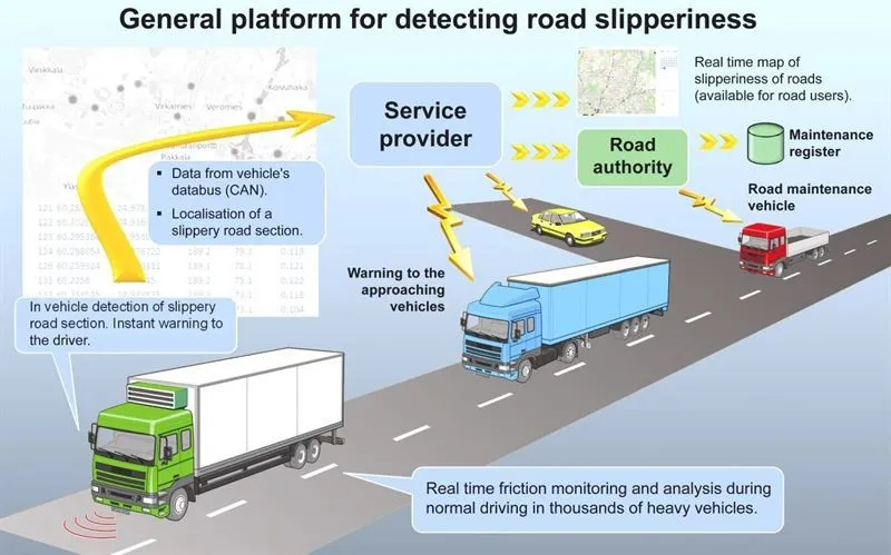
    Winter road maintenance could be getting more efficient, thanks to the Grip, a black ice detection system from two Finnish research organisations. The Grip allows drivers to detect in real-time slippery road conditions extremely accurately and with costs significantly lower than by any other methods already being used, according the two firms – EEE Innovations and VTT Technical Research Centre of Finland. The first application of this patented technology is being offered to commercial vehicle owners and
  • Innovations for asphalt compaction
    June 15, 2012
    Asphalt compaction advances were unveiled from an array of manufacturers at the INTERMAT 2012 event - Mike Woof reports. With new emissions legislation being introduced, manufacturers are rolling out a range of new asphalt compaction models designed to meet the latest requirements. These include both large rollers for high-production highway operations and compact machines designed for the rental market and suited to urban applications, with the latter segment becoming particularly competitive at present.
  • Wireless technology available on Intercomp mining scale
    January 6, 2017
    Intercomp has expanded its wireless efforts to a key mining scale system, the company said on Tuesday at Conexpo. Intercomp, which has provided weighing solutions for more than 35 years, now offers its fully integrated RFX wireless weighing technology on its MS450 mining scale systems.