Revolutionary cable locator

Leica Geosystems says its new Leica Digicat 600i and 650i series, with Logicat software, is set to revolutionise underground cable location. The 600i and 650i, fitted with what Leica says is an innovative data capture and on-board memory function, is said to aid operations management moves to increase onsite safety by detecting cables and identifying operator training needs. Locating underground cables and pipes is said to be a simple and efficient task with the 600i and 650i series, boosting the operator’s
June 19, 2012 Read time: 2 mins
Leica Geosystems says its new Leica Digicat 600i and 650i series is set to ‘revolutionise’ underground cable location
265 Leica Geosystems says its new Leica Digicat 600i and 650i series, with Logicat software, is set to revolutionise underground cable location.

The 600i and 650i, fitted with what Leica says is an innovative data capture and on-board memory function, is said to aid operations management moves to increase onsite safety by detecting cables and identifying operator training needs. Locating underground cables and pipes is said to be a simple and efficient task with the 600i and 650i series, boosting the operator’s productivity and profitability.

The 650i is said to offer the user the same features and functionally of the 600i, with the extra benefit of service depth indication.

When using the Digicat in conjunction with the Digitex 100t or Sonde in 8 or 33 kHz modes, operators can determine the depth of the buried utility which, according to Leica, provides a clear advantage when conducting ground surveys.

The 600i and 650i locators have Bluetooth wireless connectivity, allowing the Digicat to integrate with mobile mapping technology to log survey data, in addition to enabling wireless Bluetooth data transfer. With Logicat software, calculation records can be retrieved and collated, helping to improve onsite safety and identify training needs.

For more information on companies in this article

Related Content

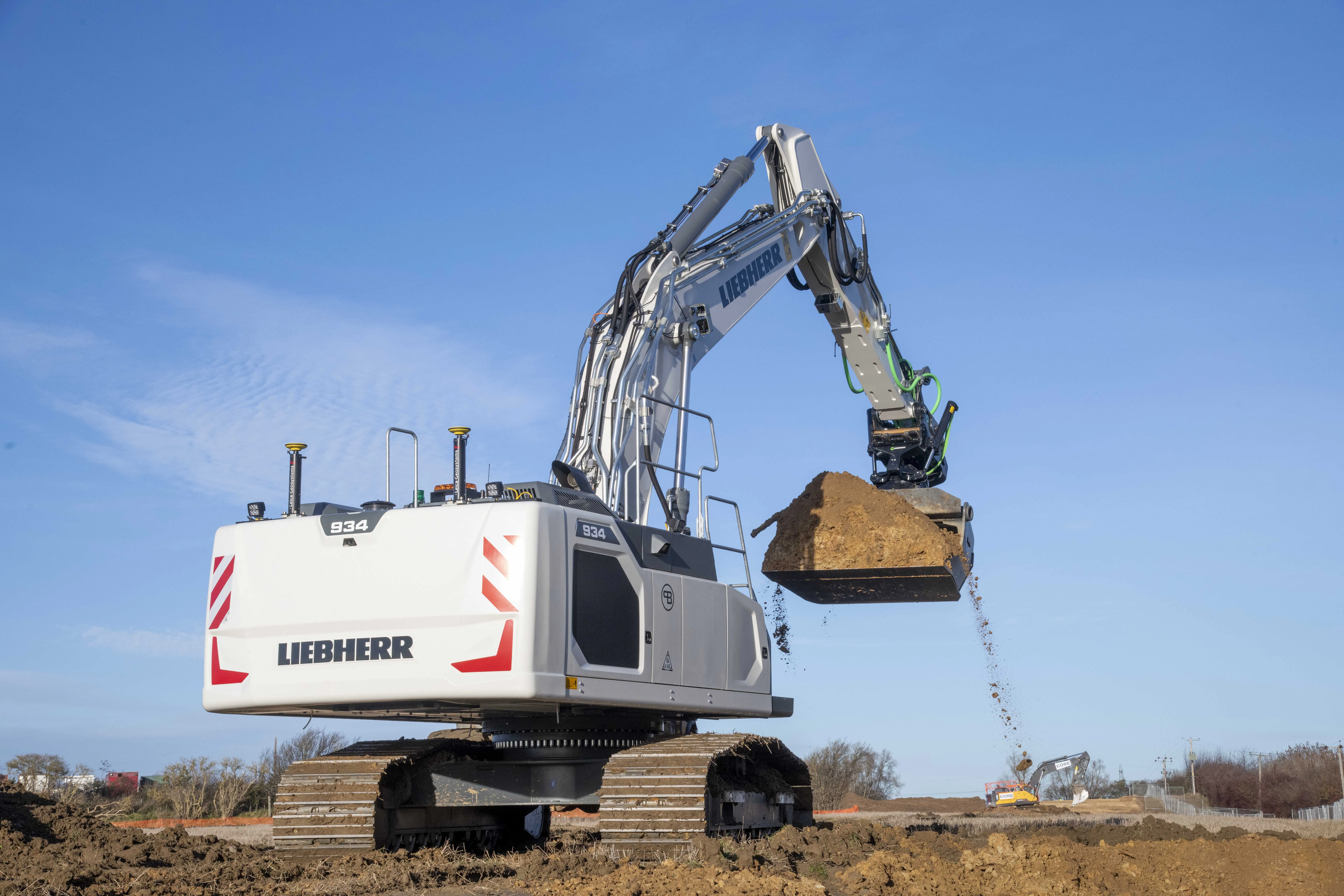
  • Firm Grip: Liebherr, Leica and Steelwrist
    March 11, 2021
    The Leica Co-Pilot system controlling the Steelwrist X32 tiltrotator makes the job that little bit quicker and more accurate.
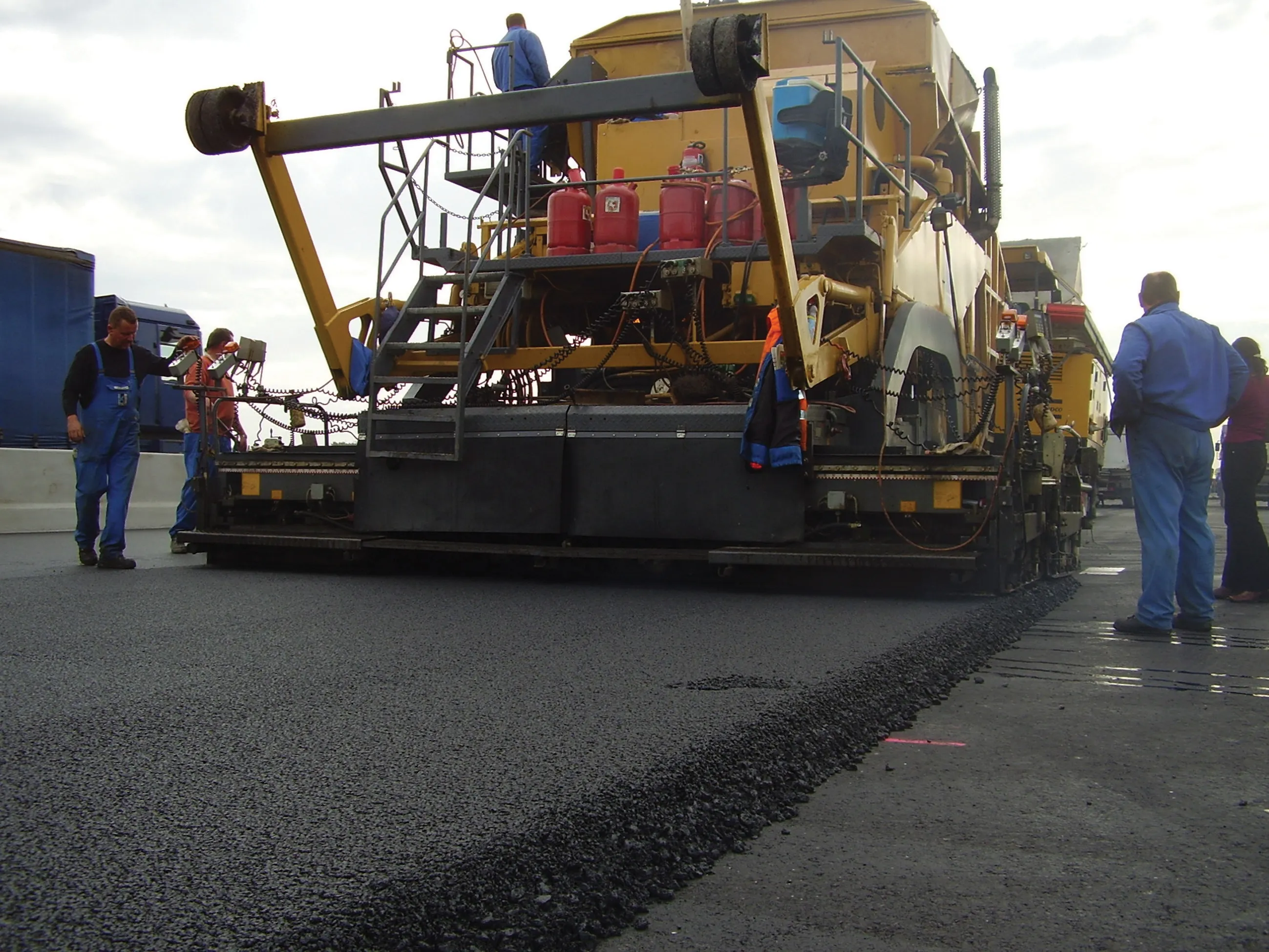
  • Longer lasting road surfaces with advanced asphalt paving
    February 20, 2012
    Contractors face an array of sophisticated paving technologies, Mike Woof reports. Asphalt paving technology continues to advance as manufacturers develop more efficient and reliable equipment. Paving techniques are also improving, while new polymer modified bitumen materials and recycling methodologies further increase the range of road surfacing options available to the client and contractor.
  • Scanning geotextiles in-situ to monitor condition
    April 1, 2016
    A new solution from Schreiner Services allows RFID transponders integrated into Provlies geotextile products to be scanned and identified. The novel geotextile material can be used to repair into cracked roads, where it delays future damage due to its elasticity. Every 100m an RFID transponder records data relating to traffic count or road condition. Schreiner Services has developed a mobile solution for the Provlies geotextile that enables the readout of the recorded data at speeds of up to 60km/h.
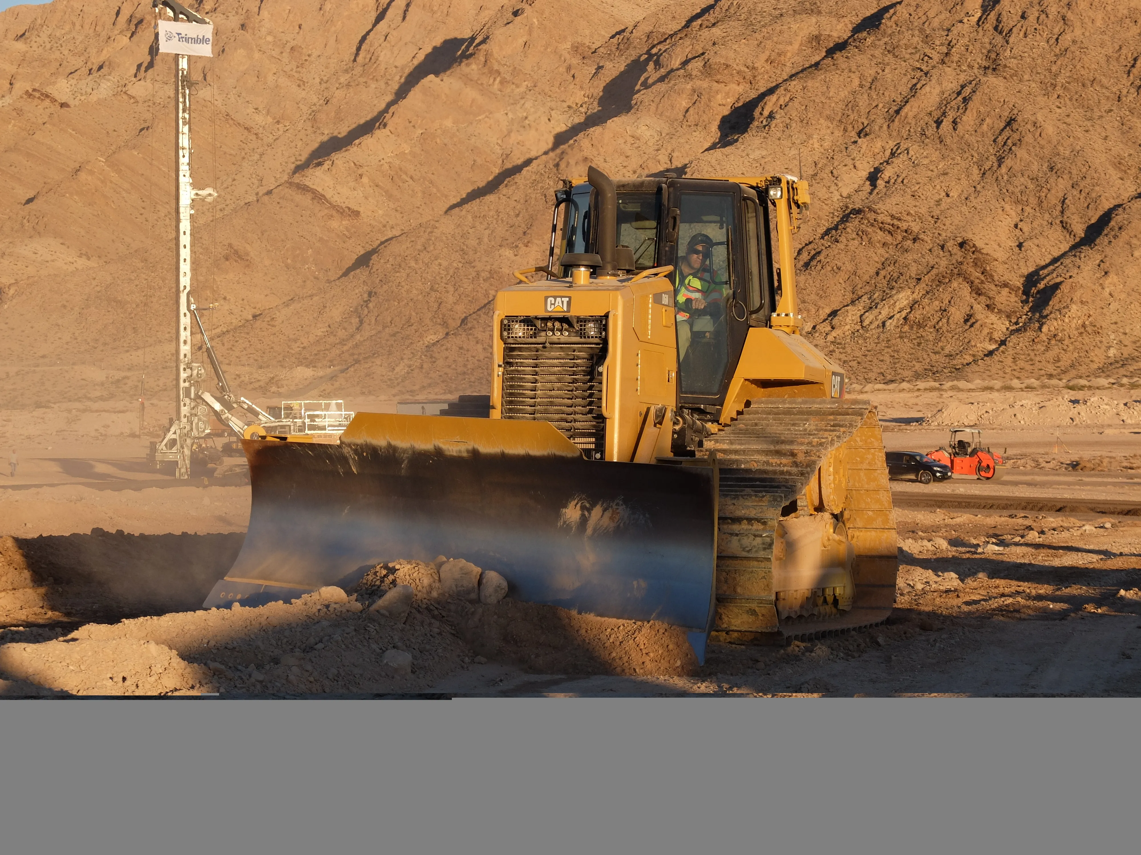
  • Trimble’s latest advance in machine controls
    April 12, 2018
    Trimble is building on proven technology with its latest advances for the machine control segment - Mike Woof writes With new systems coming to market, Trimble is keen to retain its strong position in the machine control segment. The firm is now introducing advanced technology for the bulldozer segment, which utilises similar systems to the Earthworks package unveiled for excavators at the CONEXPO show in early 2017. Eric Crim is product manager for machine control systems in Trimble's heavy & highway