Revolutionary cable locator

Leica Geosystems says its new Leica Digicat 600i and 650i series, with Logicat software, is set to revolutionise underground cable location. The 600i and 650i, fitted with what Leica says is an innovative data capture and on-board memory function, is said to aid operations management moves to increase onsite safety by detecting cables and identifying operator training needs. Locating underground cables and pipes is said to be a simple and efficient task with the 600i and 650i series, boosting the operator’s
June 19, 2012 Read time: 2 mins
Leica Geosystems says its new Leica Digicat 600i and 650i series is set to ‘revolutionise’ underground cable location
265 Leica Geosystems says its new Leica Digicat 600i and 650i series, with Logicat software, is set to revolutionise underground cable location.

The 600i and 650i, fitted with what Leica says is an innovative data capture and on-board memory function, is said to aid operations management moves to increase onsite safety by detecting cables and identifying operator training needs. Locating underground cables and pipes is said to be a simple and efficient task with the 600i and 650i series, boosting the operator’s productivity and profitability.

The 650i is said to offer the user the same features and functionally of the 600i, with the extra benefit of service depth indication.

When using the Digicat in conjunction with the Digitex 100t or Sonde in 8 or 33 kHz modes, operators can determine the depth of the buried utility which, according to Leica, provides a clear advantage when conducting ground surveys.

The 600i and 650i locators have Bluetooth wireless connectivity, allowing the Digicat to integrate with mobile mapping technology to log survey data, in addition to enabling wireless Bluetooth data transfer. With Logicat software, calculation records can be retrieved and collated, helping to improve onsite safety and identify training needs.

For more information on companies in this article

Related Content

  • Ammann’s steerable pedestrian roller equals versatility
    April 26, 2024

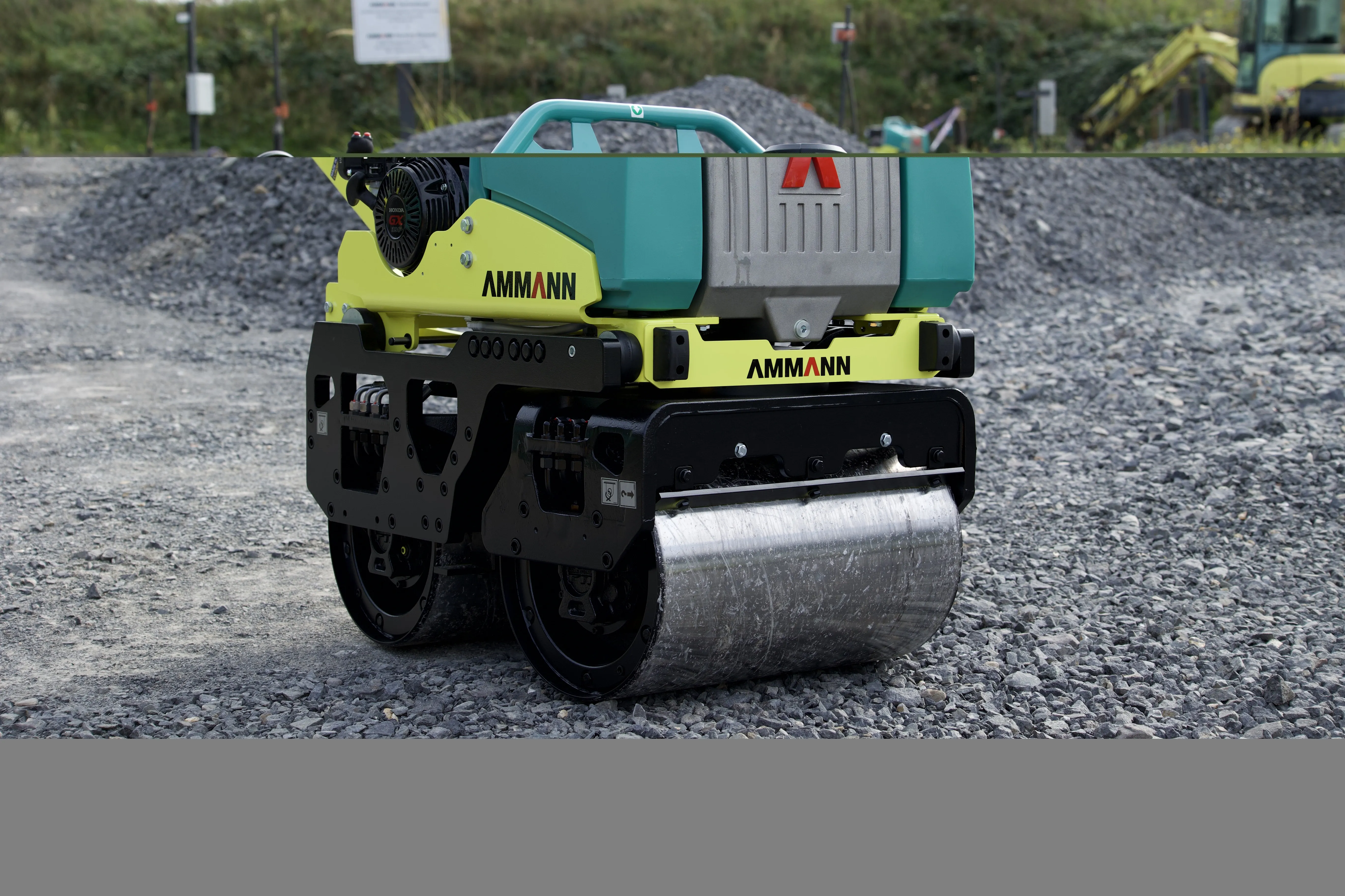
    Ammann is offering an innovation in the shape of its ARW 65-S walk-behind Roller, which features articulated steering. This make allows the user to guide the machine more accurately forward, backward, and laterally.

    The new S version has a pivoting mechanism , unlike the prior version which only enables forward and reverse movements. With the S version, the machine can also be moved to the right and left using the control handle.

  • Quicker ground surveys with GPR
    September 11, 2014
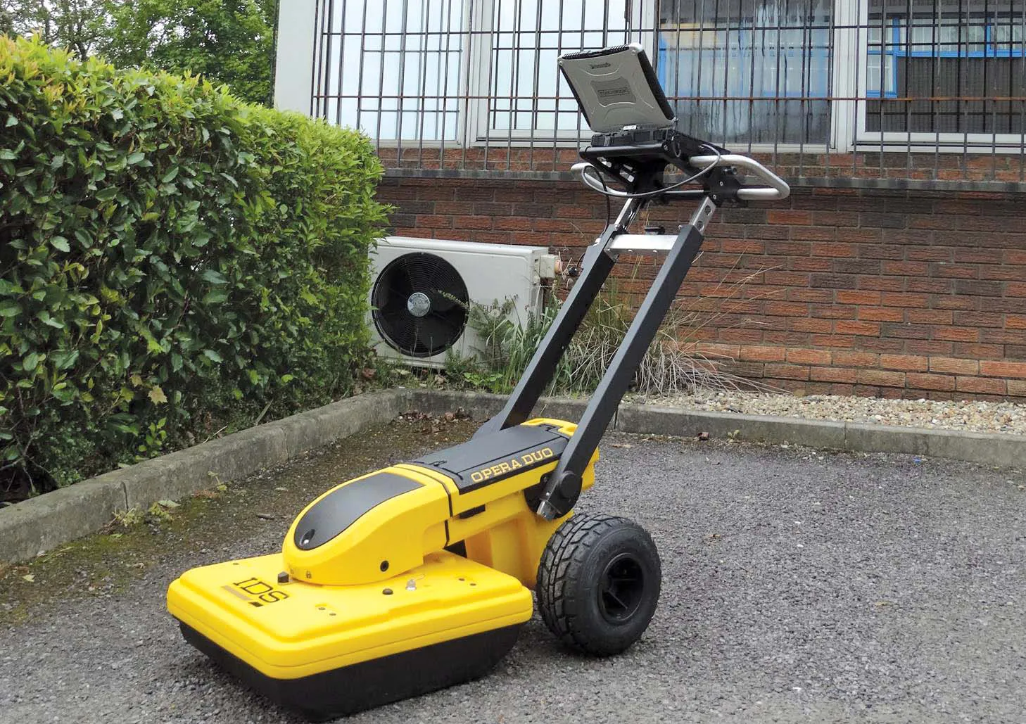
    MK Surveys, based in Milton Keynes, is now using an advanced, portable ground penetrating radar (GPR) system. The purchase of Opera Duo, the latest innovation for utility location and mapping by market leaders IDS, further strengthens MK Surveys’ capability in this expanding market.
  • BOMAG is offering new soil compactors
    January 15, 2016
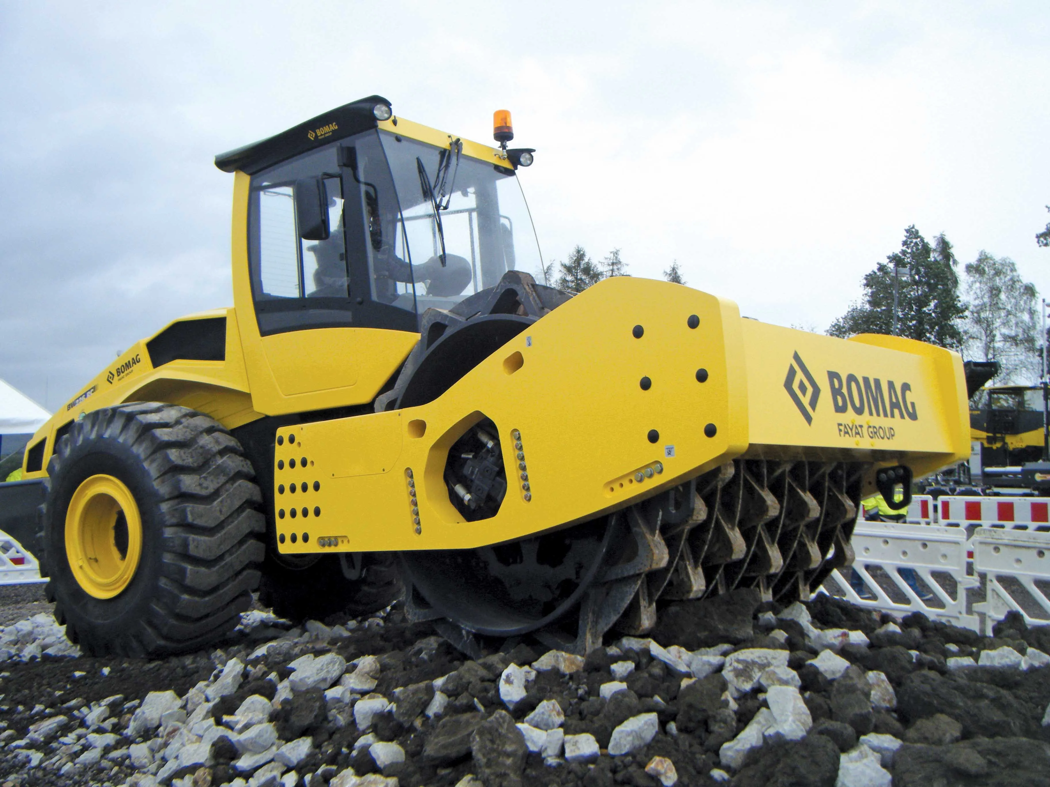
    BOMAG has a range of new single drum soil compactors as well as compact units for rental markets that are said to offer advanced technology - Mike Woof reports BOMAG is keen to continue being a technology leader. Jonathan Stringham, vice president of marketing at BOMAG explained that the firm is working on introducing new technology to the road construction market. He said that the new products developed by BOMAG are all the result of close partnerships with customers. The company has held workshops in t
  • Innovative traffic information technology used in Vancouver
    April 12, 2012
    As the world descended on Vancouver for the 2010 Winter Olympics, visitors were able to travel around the city with confidence and intelligence thanks to a landmark project by IRF Member, Delcan