Revolutionary cable locator

Leica Geosystems says its new Leica Digicat 600i and 650i series, with Logicat software, is set to revolutionise underground cable location. The 600i and 650i, fitted with what Leica says is an innovative data capture and on-board memory function, is said to aid operations management moves to increase onsite safety by detecting cables and identifying operator training needs. Locating underground cables and pipes is said to be a simple and efficient task with the 600i and 650i series, boosting the operator’s
June 19, 2012 Read time: 2 mins
Leica Geosystems says its new Leica Digicat 600i and 650i series is set to ‘revolutionise’ underground cable location
265 Leica Geosystems says its new Leica Digicat 600i and 650i series, with Logicat software, is set to revolutionise underground cable location.

The 600i and 650i, fitted with what Leica says is an innovative data capture and on-board memory function, is said to aid operations management moves to increase onsite safety by detecting cables and identifying operator training needs. Locating underground cables and pipes is said to be a simple and efficient task with the 600i and 650i series, boosting the operator’s productivity and profitability.

The 650i is said to offer the user the same features and functionally of the 600i, with the extra benefit of service depth indication.

When using the Digicat in conjunction with the Digitex 100t or Sonde in 8 or 33 kHz modes, operators can determine the depth of the buried utility which, according to Leica, provides a clear advantage when conducting ground surveys.

The 600i and 650i locators have Bluetooth wireless connectivity, allowing the Digicat to integrate with mobile mapping technology to log survey data, in addition to enabling wireless Bluetooth data transfer. With Logicat software, calculation records can be retrieved and collated, helping to improve onsite safety and identify training needs.

For more information on companies in this article

Related Content

  • Malaysia’s massive road building project is advancing the use of technology
    August 10, 2020
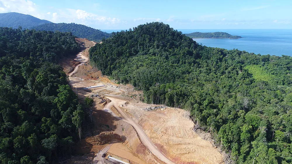
    Malaysia’s huge Pan Borneo Highway project is benefiting from the use of some of the latest technologies in its planning, design and construction
  • Sophisticated weighing for loaders
    January 28, 2014
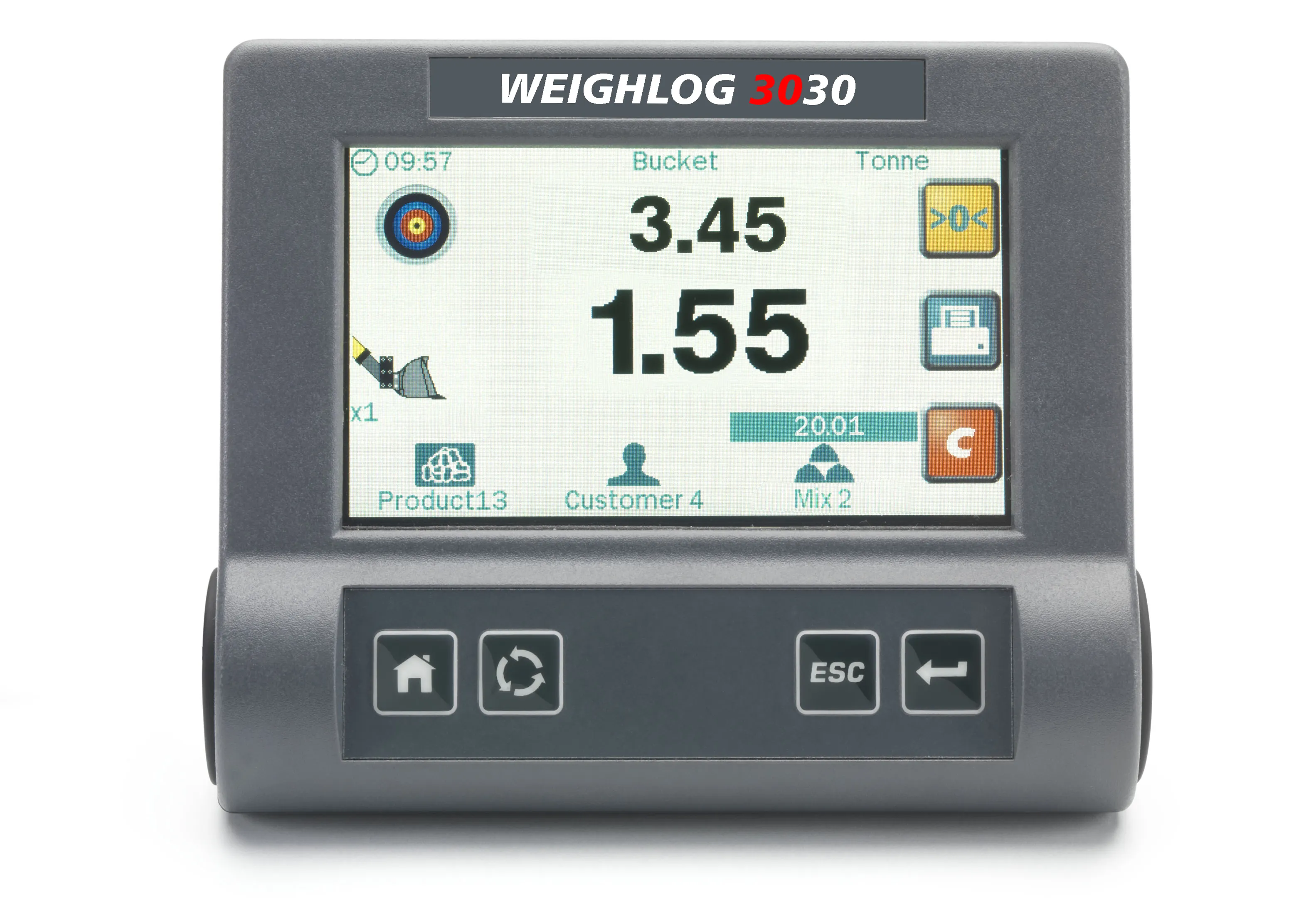
    Sophisticated on-board weighing systems for use with wheeled loaders and excavators are being offered by Loup Electronics. The innovative LOADEX 100 is a retrofittable scale installed on tracked and wheeled excavators and material handlers to weigh the amount of material load in the bucket or grab. Pressure signals are captured, filtered and corrected by measuring the angle of the main boom using either an RDS Inclinometer or Mechanical Angle sensor. When used dynamically, the pressures are captured through
  • Precision pinpointing
    March 1, 2012
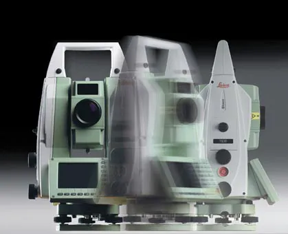
    Leica Geosystems says that its TS30 package is a new high precision Total Station that meets highest standards in all surveying applications. Distances can now be measured with Leica Geosystems' proven PinPoint EDM Technology with an unprecedented precision of 0.6mm + 1ppm on prisms. On natural surfaces a high accuracy of 2mm + 2ppm up to 1,000m can be achieved.
  • Testing advanced compaction technology
    April 6, 2020
    Contractor Max Bögl and BOMAG have worked together on a major infrastructure project in Germany to carry out practical tests of the BW 174 Hybrid and BOMAP system.