Revolutionary cable locator

Leica Geosystems says its new Leica Digicat 600i and 650i series, with Logicat software, is set to revolutionise underground cable location. The 600i and 650i, fitted with what Leica says is an innovative data capture and on-board memory function, is said to aid operations management moves to increase onsite safety by detecting cables and identifying operator training needs. Locating underground cables and pipes is said to be a simple and efficient task with the 600i and 650i series, boosting the operator’s
June 19, 2012 Read time: 2 mins
Leica Geosystems says its new Leica Digicat 600i and 650i series is set to ‘revolutionise’ underground cable location
265 Leica Geosystems says its new Leica Digicat 600i and 650i series, with Logicat software, is set to revolutionise underground cable location.

The 600i and 650i, fitted with what Leica says is an innovative data capture and on-board memory function, is said to aid operations management moves to increase onsite safety by detecting cables and identifying operator training needs. Locating underground cables and pipes is said to be a simple and efficient task with the 600i and 650i series, boosting the operator’s productivity and profitability.

The 650i is said to offer the user the same features and functionally of the 600i, with the extra benefit of service depth indication.

When using the Digicat in conjunction with the Digitex 100t or Sonde in 8 or 33 kHz modes, operators can determine the depth of the buried utility which, according to Leica, provides a clear advantage when conducting ground surveys.

The 600i and 650i locators have Bluetooth wireless connectivity, allowing the Digicat to integrate with mobile mapping technology to log survey data, in addition to enabling wireless Bluetooth data transfer. With Logicat software, calculation records can be retrieved and collated, helping to improve onsite safety and identify training needs.

For more information on companies in this article

Related Content

  • Navtech Radar to showcase ClearWay radar-based safety and monitoring systems
    March 19, 2012
    Navtech Radar will be showcasing the safety and economic benefits of using longer-range radar systems for Automated Incident Detection (AID) and enforcement at Intertraffic 2012. The company’s ClearWay sensor technology is currently deployed in live tunnel and above-ground environments in Northern Europe and has been further developed to provide count and classification capabilities as well as an effective counter to illegal tailgating and unsafe lane-change manoeuvres.
  • Traffic Group takes command
    June 7, 2023
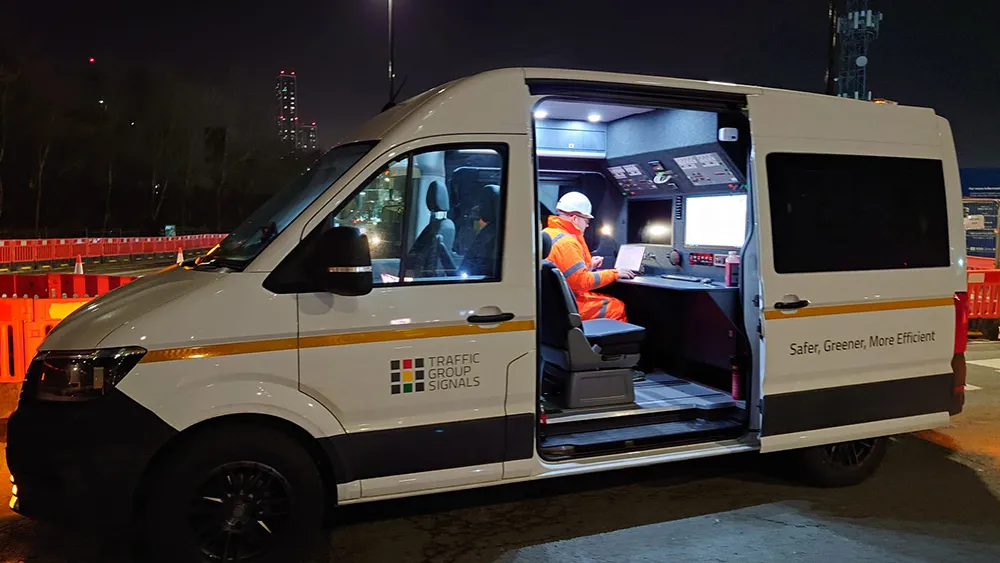
    Traffic Group Signals has taken delivery of a converted Volkswagen Crafter van for use as a mobile worksite command vehicle.
  • Hexagon adds software firm to portfolio
    January 6, 2017
    Hexagon continues to develop its software portfolio with the acquisition of Listech, which will compliment its array of construction solutions and particularly those of its Leica Geosystems subsidiary. Listech offers software solutions that aid with data processing and help streamline workflows in land management, construction and engineering projects.
  • Hexagon adds software firm to portfolio
    January 30, 2013
    Hexagon continues to develop its software portfolio with the acquisition of Listech, which will compliment its array of construction solutions and particularly those of its Leica Geosystems subsidiary. Listech offers software solutions that aid with data processing and help streamline workflows in land management, construction and engineering projects.