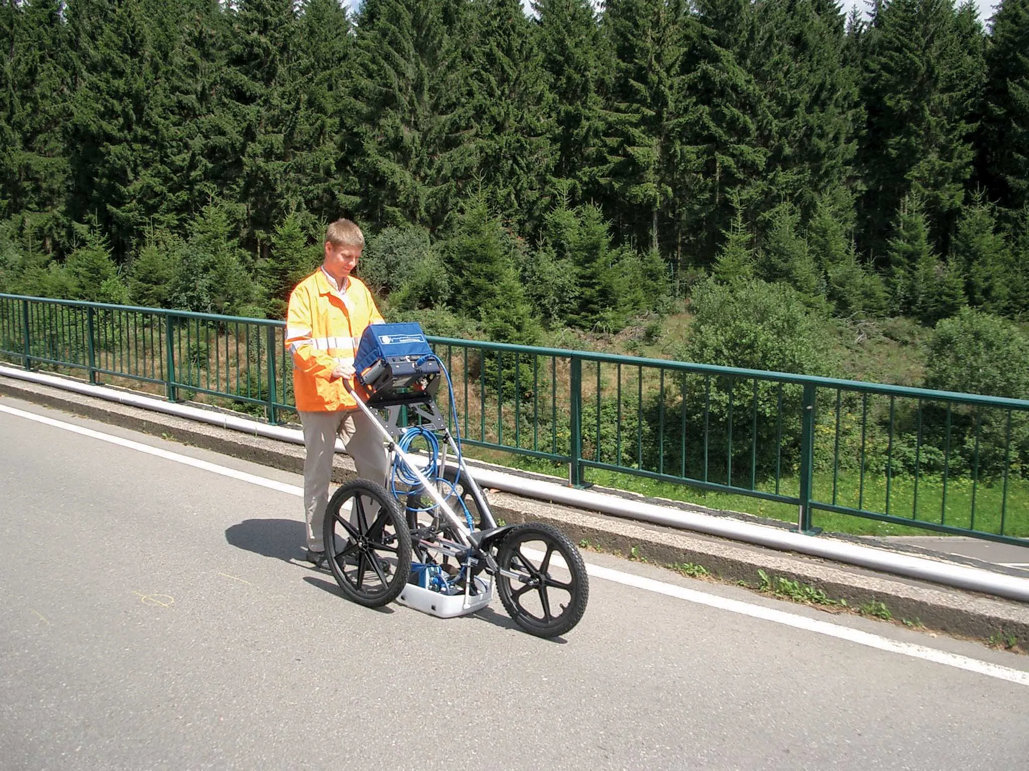
GSSI is introducing the sophistictaed BridgeScan condition assessment system. This package is used for concrete inspection and utility mapping of bridges.
Said to be both affordable and versatile, this ground penetrating radar (GPR) equipment can be used to assess concrete condition on bridge decks, as well as parking structures. Using this unit offers accurate assessments of concrete condition, which improves repair cost estimation and saves time and money.
With BridgeScan, identification of rebar
May 19, 2015
Read time: 2 mins

Said to be both affordable and versatile, this ground penetrating radar (GPR) equipment can be used to assess concrete condition on bridge decks, as well as parking structures. Using this unit offers accurate assessments of concrete condition, which improves repair cost estimation and saves time and money.
With BridgeScan, identification of rebar location and depth is said to be easy and quick. It can handle bridge deck condition assessments, determining concrete cover depth on new structures, and concrete inspection, as well as measuring slab thickness, and void detection and location. Construction professionals, utility locators, and engineers can also use the unit as a basis for a utility locating GPR system to map and locate underground infrastructure – pinpointing the depth and position of metallic and non-metallic pipes in real time.
Unlike other units, the firm says that the BridgeScan system is aimed at bridge condition assessment. It can accurately represent bridge data by automatically accommodating for bridge skew angle. Using a non-destructive method of evaluating bridge deck thickness, the BridgeScan system is said to obtain reliable thickness measurements in minutes, eliminating the need to core.
The BridgeScan system includes the SIR 3000 control unit, a small, lightweight GPR system designed for single-user operation, which incorporates advanced signal processing and display capability for in-the-field 3D imaging. The same control unit can be used for multiple applications. Other BridgeScan components include a 1600MHz antenna, a three-wheeled survey cart with encoder wheel, and a 2m control cable. Also included is a transit case for the control unit, batteries and charger, as well as RADAN software and application-specific software for bridge deck condition assessments.


