Advanced structural monitoring from Teleco

Teleco’s novel SHM602 system has been developed in partnership with the Interdepartmental Centre for Buildings and Construction at Bologna University and offers real-time monitoring of structural integrity of structures. This system operates on the basis of dynamic models obtained by means of identification techniques from accelerometric measures performed on the structure to be monitored. It relies on advanced measure, filtering and identification techniques and allows a real-time remote access to all data
January 5, 2016 Read time: 2 mins
8293 Teleco’s novel SHM602 system has been developed in partnership with the Interdepartmental Centre for Buildings and Construction at Bologna University and offers real-time monitoring of structural integrity of structures. This system operates on the basis of dynamic models obtained by means of identification techniques from accelerometric measures performed on the structure to be monitored. It relies on advanced measure, filtering and identification techniques and allows a real-time remote access to all data, including acceleration and temperature.

Advanced features of the SHM602 allow filtering and modelling operations to be performed inside every measuring unit, the use of robust and reliable MEM sensors. The use of a digital bus allows non-invasive and reliable implementation on large structures where traditional analogue systems would require expensive and invasive radial connections and auxiliary hardware to limit signal deterioration over distance. s that must be

The smart architecture of the connection network allows the construction of global models suitable for detecting possible problems in the points where the sensors have been allocated and also in interconnecting substructures. Another important task performed by the computational resources allocated inside every sensing unit concerns the real-time monitoring of the correct performance of every sensor and the automatic exclusion of faulty sensors.

The SHM602 is a modular system and can be configured as required to optimise cost and performance. The SHM602 includes software packages allowing the configuration of the sensor network, data acquisition and storage, and real-time modal analysis of the monitored structures. It can operate both on structures affected by factors such as vehicle traffic, wind or seismic events.

A significant test on the SHM602 has been recently performed on the Manhattan Bridge, New York City, as part of a joint project between Columbia and Bologna Universities. The unit I said to be robust and able to cope with long use in difficult applications.

For more information on companies in this article

Related Content

  • Europe's smart road pricing project
    April 12, 2012
    New trials pave the way for smart road pricing using Global Navigation Satellite Systems (GNSS). In recent years, the concept of road charging has been gaining acceptability among Europe's policymakers.
  • Europe's smart road pricing project
    February 20, 2012
    New trials pave the way for smart road pricing using Global Navigation Satellite Systems (GNSS). In recent years, the concept of road charging has been gaining acceptability among Europe's policymakers.
  • Effective demarcation boosts traffic safety
    July 29, 2015
    Effective demarcation can play a crucial role in boosting safety for road users. Good demarcation is vital on a road network to help ensure that drivers stay in the correct lanes and are warned of changes that lie in their path, for example. Road markings are hugely important and for those involved in maintenance, ensuring that these are visible at night and in poor weather can help maximise safety. New technology is on the market now that can help road authorities ensure that road markings meet requirement
  • GPS machine control systems reduce survey time
    February 14, 2012
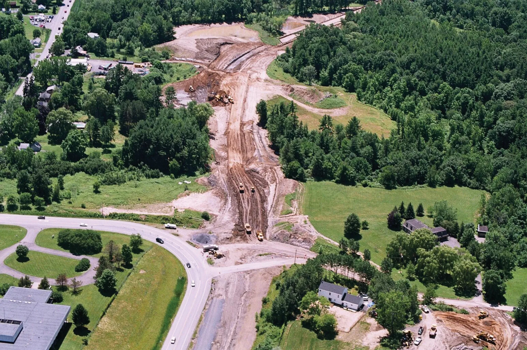
    Innovative uses are being made of GPS technology, Mike Woof reports. US firms Creighton Manning Engineering and Delaney Construction have made a novel use of GPS technology in a project for the Route 85 Slingerlands bypass extension in the US.