Topcon announces increased 3D scanning integration with Autodesk

Topcon Positioning Group says it has improved workflow compatibility for the GLS-2000 3D laser scanner and ScanMaster software with Autodesk solutions. With the latest version of Autodesk ReCap, the GLS-2000 pairs with Topcon ScanMaster software to collect, process, edit and deliver 3D point cloud data from a laser scanner. ReCap allows users to perform tasks such as scan conversion, editing and viewing point cloud data. It also provides integration with Autodesk’s portfolio of design software. Aut
August 17, 2015 Read time: 2 mins
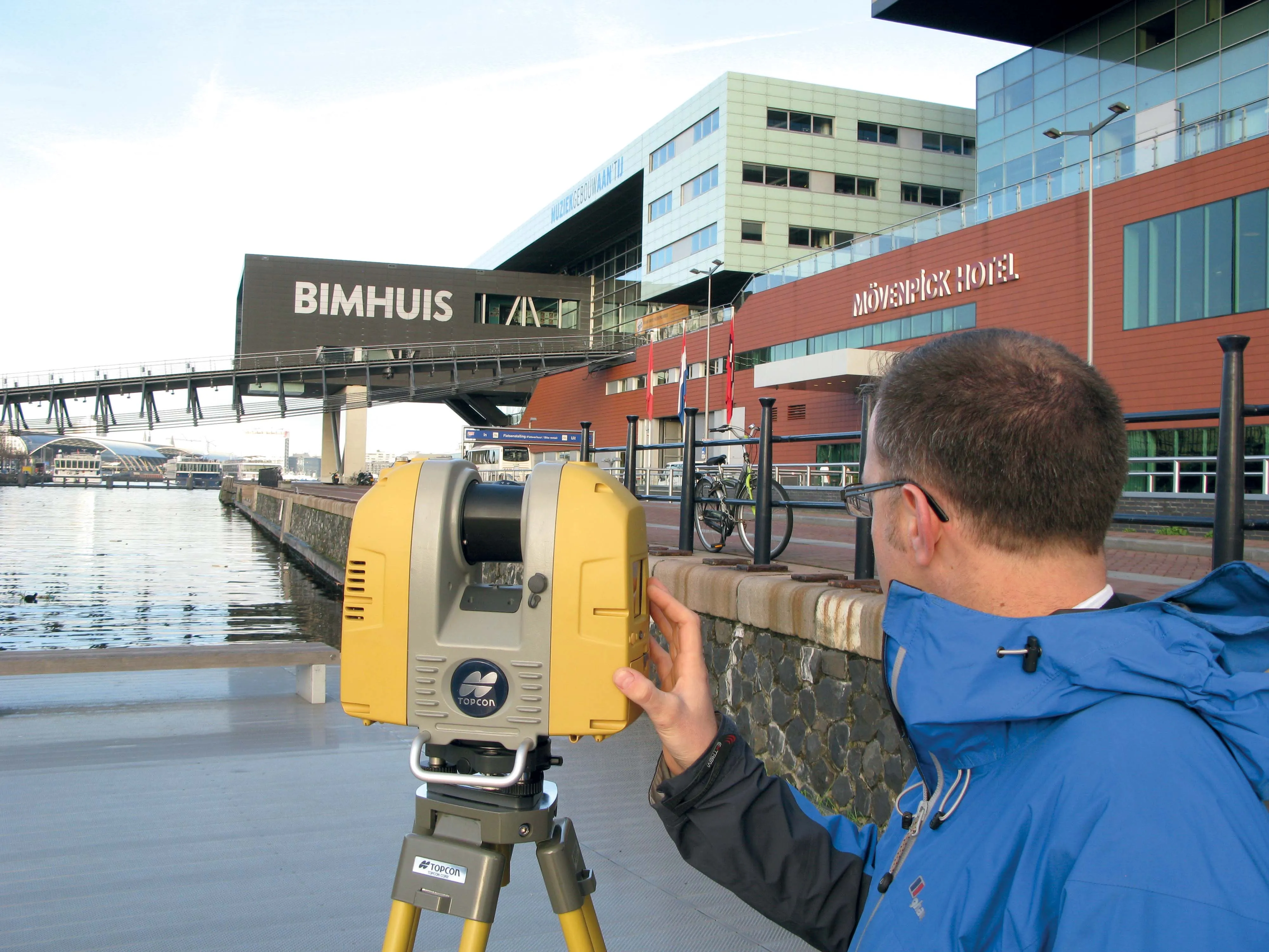
Better workflow compatibility for the GLS-2000
342 Topcon Positioning Group says it has improved workflow compatibility for the GLS-2000 3D laser scanner and ScanMaster software with 685 Autodesk solutions.

With the latest version of Autodesk ReCap, the GLS-2000 pairs with Topcon ScanMaster software to collect, process, edit and deliver 3D point cloud data from a laser scanner.

ReCap allows users to perform tasks such as scan conversion, editing and viewing point cloud data. It also provides integration with Autodesk’s portfolio of design software.

Autodesk ReCap and ReCap 360 have the new capability to read the Topcon CL3 format as a scan file in addition to a standard point cloud. The scan file allows the use of individual scan positions for registration workflows.

“File conversion is no longer necessary,” said Ray Kerwin, director of Topcon’s global surveying products. “Exporting can be done straight out of scan position. Users ultimately get a more streamlined workflow, more data detail and increased access to the point cloud. With individual scan positions it is possible to generate RealViews that offer a web-viewing output.”

Integration is available for versions including Autodesk ReCap, ReCap 360 and ReCap 360 Ultimate software.

For more information on companies in this article

Related Content

  • Wider range of survey software functionality
    February 9, 2012
    Leica Geosystems is offering a broad spread of new packages and hardware that will deliver improved performance to users. The firmware 2.0 product is said to add powerful new capabilities to the Leica ScanStation C10, the industry's most popular 3D laser scanner for as-built and topographic surveys. This further increases the productivity and versatility of the fully integrated, cable-less ScanStation C10. A new Setup facility lets users take advantage of known survey points and backsighting, while remote,
  • GPS machine control technology aids productivity
    February 21, 2012
    GPS technology offers contractors many benefits and product offerings are growing more diverse, Mike Woof reports. The benefit of GPS technology for the construction industry cannot be overstated.
  • Software innovations boosting construction efficiency
    February 6, 2017
    Software innovations can help road construction and asset management – Mike Woof writes New developments in construction software offer major benefits for civil engineers, contractors and maintenance firms. The latest advances will help optimise the construction process, while also allowing easier monitoring of existing assets. In terms of construction, Bentley Systems is again pushing the bar with regard to advanced software solutions. Its latest OpenRoads ConceptStation package is said to combine en
  • Topcon’s action station
    October 31, 2012
    Topcon Europe Positioning (TEP) has launched a new, professional-grade robotic total station – the PS series – which the firm says is designed to surpass the power, accuracy and capabilities of its peers. The PS is said to utilise Topcon’s new PowerTrac technology to increase the prism tracking power. “Using new optics, laser system and advanced algorithms, PowerTrac provides the PS with the ability to keep tracking a moving prism even under the toughest environmental conditions,” said Leighton Davies, surv