Sokkia is offering new field service solutions for GNSS

Sokkia is introducing new field and office software solutions for its total stations, robotics and GNSS rover systems. These are the GeoPro Field and GeoPro Office packages. GeoPro Field provides a graphical user interface designed to collect field measurements for land surveying and construction activities. Sokkia GeoPro Office is the office-processing complement to the field software and can clean, process, and analyse field data into an easy-to-use form. The office software can also be expanded wi
January 31, 2017 Read time: 1 min
Sokkia is introducing new field and office software solutions for its total stations, robotics and GNSS rover systems. These are the GeoPro Field and GeoPro Office packages.

GeoPro Field provides a graphical user interface designed to collect field measurements for land surveying and construction activities. 1090 Sokkia GeoPro Office is the office-processing complement to the field software and can clean, process, and analyse field data into an easy-to-use form.

The office software can also be expanded with an optional 3D and road design module, for further versatility to design and site layout preparation. The firm says that the packages offer user-friendly graphical interfaces, with simple in-field functions and office workflows.

For more information on companies in this article

Related Content

  • Trimble and Bentley Systems form ‘strategic alliance’
    November 6, 2012
    Trimble has formed a strategic alliance with Bentley Systems (Bentley). The alliance between Trimble, a leading provider of connected construction solutions for building, heavy, and civil contractors, and Bentley, a major company in the provision of complete software solutions for sustaining infrastructure, aims to create a new benchmark for construction and operations quality, efficiency and safety. According to Bentley, its strategic alliance with Trimble will create a “seamless exchange of information” b
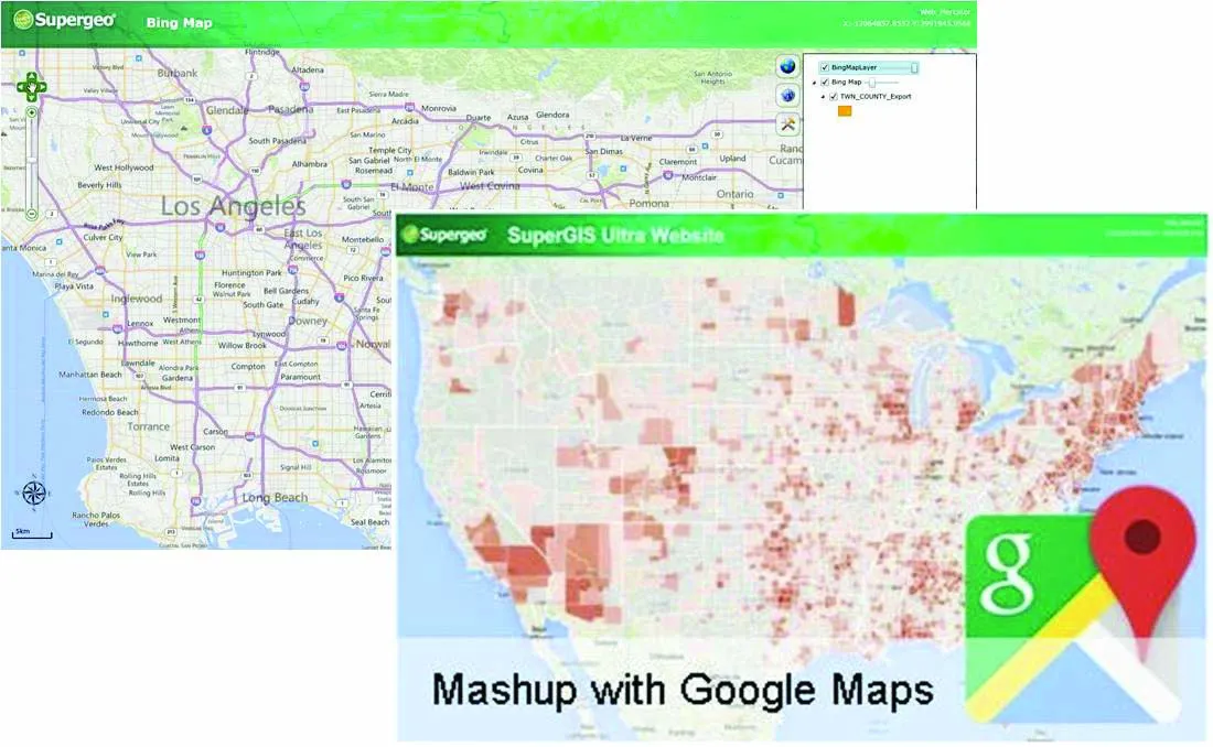
  • Supergeo offers GIS training tool
    April 27, 2015
    Supergeo Technologies says that its latest packages offer effective training for both GIS users and non-GIS professionals, as well as new tools for sharing geospatial data. The training offering comes in the shape of free online courses with extensive learning materials. The firm says that it is a leader in the field with its state-of-the-art GIS technology and is able to assist personnel from various industries to address different tasks with spatial information. A comprehensive series of online course
  • Soil compaction innovations abound
    October 26, 2012
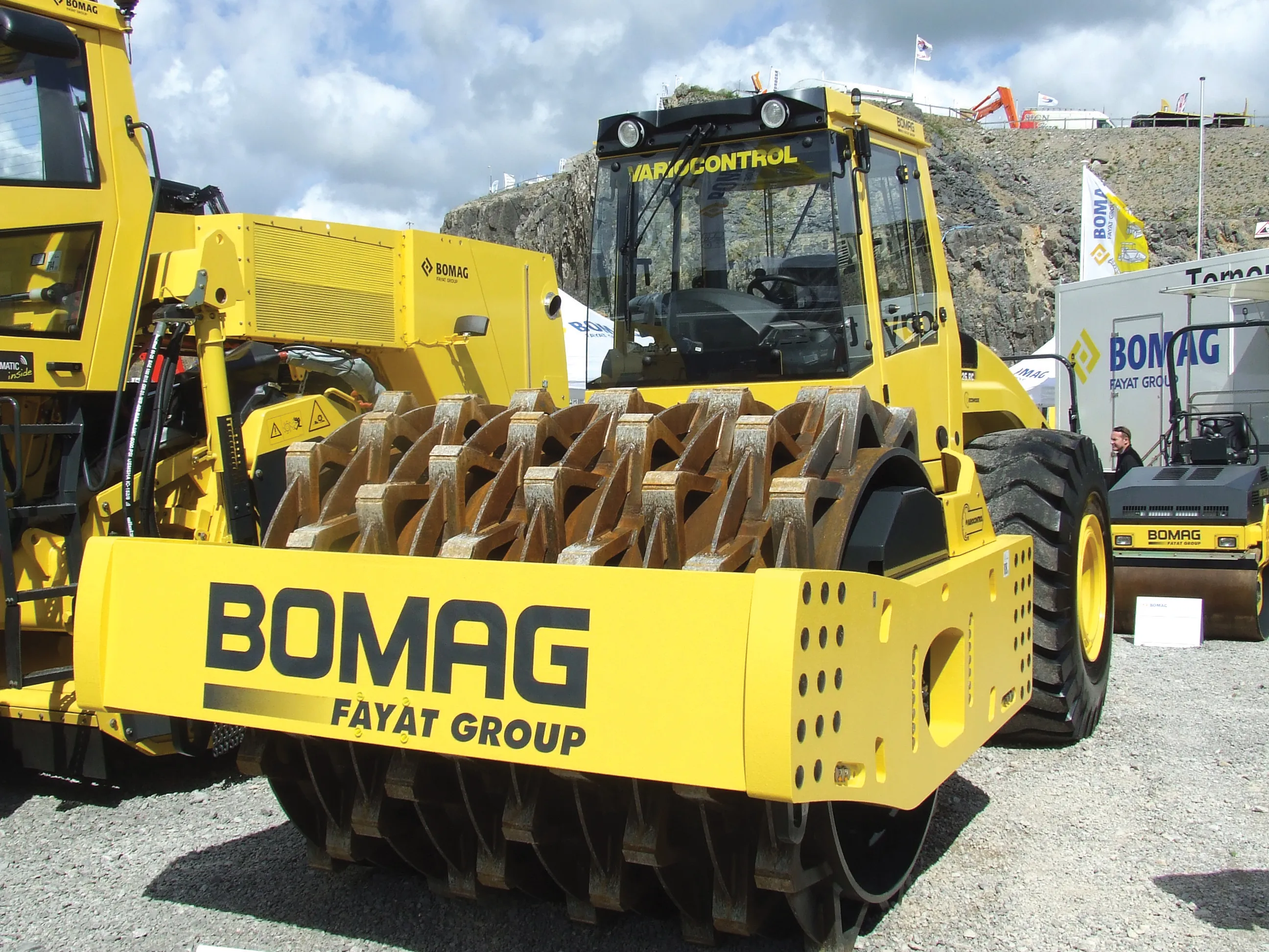
    Manufacturers continue to innovate with sophisticated new soil compaction machines - Mike Woof reports This year has seen the introduction of a series of new soil compaction machines, as manufacturers develop their product ranges. Meeting emission legislation requirements in Europe and North America has helped drive firms to install the latest engine designs. Meanwhile machines have also evolved as companies further refine operating features. The global market for compaction machines has been dominated by
  • Made to Measure laser mapping
    June 15, 2012
    Dutch surveying company Geomaat says it is taking millimetre accurate measurements in record time to aid a range of highway design, construction and maintenance projects. Using the mobile laser mapping system StreetMapper, and specially developed point cloud software, Geomaat says it can calculate highly accurate cutting, milling and asphalt figures, create as built models and undertake change detection.