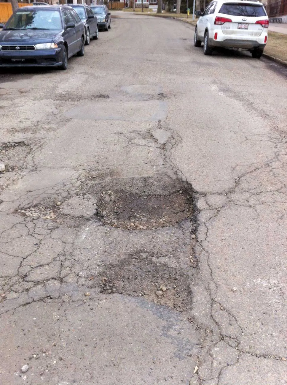
Road and runway repair success

Fugro Aperio says it is improving the quality of road and airport runway repair techniques using its sophisticated ground penetrating radar (GPR) technology. The firm is now able to offer a combination of real time kinematic (RTK) GPS with multi channel radar systems due to partnerships with Yotta in the UK, and Pavement Management Services in Australia and the Middle East. This sophisticated package enables pre-planning of surveys, quicker execution and better positioning for more precise mapping of defect
July 2, 2012 Read time: 2 mins
2929 Fugro Aperio says it is improving the quality of road and airport runway repair techniques using its sophisticated ground penetrating radar (GPR) technology. The firm is now able to offer a combination of real time kinematic (RTK) GPS with multi channel radar systems due to partnerships with Yotta in the UK, and Pavement Management Services in Australia and the Middle East. This sophisticated package enables pre-planning of surveys, quicker execution and better positioning for more precise mapping of defects in roads, runways, taxiways and aprons. Such surveys can deliver a combination of surface condition and subsurface structure information to local authorities and consultants. Fugro Aperio says it is able to map delamination between asphalt and concrete layers, as well as voids below concrete pavements, in operational conditions that would have previously precluded such detailed surveys.

With GPR scans relocatable three-dimensionally to ±18mm using RTK, Fugro Aperio says it is able to generate accurate maps of pavement defects such as delamination or debonding. This level of accuracy allows corrective action to be targeted more accurately, cost-effectively and with minimal disruption. Fugro Aperio's application of GPR to identify changes in pavement moisture is helping engineers to detect and remediate the degrading effects of water. Water can reduce sub-grade bearing value, it can lead to sub-grade mud forcing up through slab joints and cracks, and can cause stripping of bitumen from the aggregate, undoing blacktop surfacing over time.

Although common in highways management, asset management principles and tools are new to many airport operators who seek to measure, manage and maintain assets more efficiently. Using surveying disciplines, Fugro Aperio is collecting and integrating bundles of asset data to populate comprehensive, computer based, airfield asset management systems.


For more information on companies in this article

Related Content

  • Positioning tools continue to improve
    July 16, 2012
    Topcon says that its new IP-S2 package combines GNNS positioning capabilities with inertial sensors, while the firm also has a solution for customers wanting to mix and match receiver components. The IP-S2 is a vehicle-mounted, mobile 3D tool that offers precision mapping and surveying capabilities. The package collects data using 3D laser scanners, LIDAR, and/or cameras, and this is then integrated, time-stamped and geo-referenced. The customer can use this assembled data to combine LIDAR point cloud and d
  • Nottingham study of smart scanning detects early pothole signs
    May 11, 2015
    Researchers at Nottingham Trent University in the UK are developing smart scanning technology using existing cameras to detect early signs of pothole development The technology scans roads for ravelling - the loss of aggregates from the asphalt which leads to potholes and cracks. Combined with 2D and 3D scanners on a pavement monitoring vehicle, a computer vision algorithm can examine the road with accuracy at traffic speed during day or night. The system works by detecting different textures of th
  • GPS guidance delivers accurate machine control
    July 12, 2012
    GPS systems for machine control can make massive reductions in operating costs for contractors. Using GPS systems for machine control can make massive reductions in operating costs for contractors and the pace of technology improvements from manufacturers has been rapid. This market segment is dominated by Leica Geosystems, Trimble and Topcon, all of which introduced an array of new products earlier this year. Topcon's dozer control system first seen in public at the Intermat show in Paris, offers notable c
  • Fugro plans UK road conference for July
    April 24, 2013
    Survey specialist Fugro is setting out plans for an upcoming highways seminar, which will be held in July 2013 in Birmingham. The firm has been involved with the Developments in Pavement Assessment conference for the last 12 years and is now relaunching the event with a broader view to include all elements of the highway network. The 13th edition of the one day conference is now being retitled Developments in Highways Assessment (DIHA). The event is aimed at highway engineers, network and asset managers, th