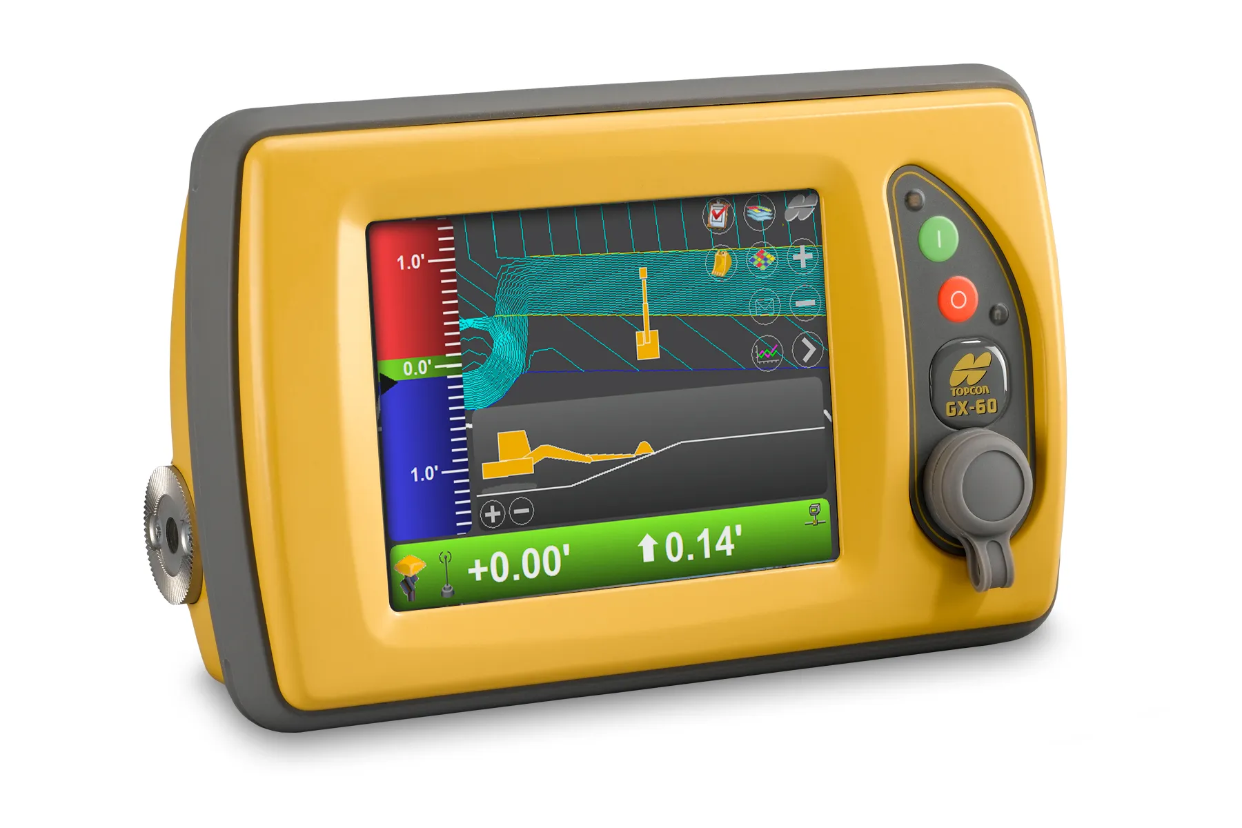
New surveying tool from Topcon

Topcon Positioning Group is introducing its top-of-the-range GT Series robotic total stations for survey, construction, and machine control applications.
January 12, 2021 Read time: 2 mins
Sophisticated surveying technology package from Topcon

The GT-1200 and GT-600 total stations are offered in multiple accuracy levels and form part of a full workflow solution, including a new field computer, an update to Topcon field and office software, as well as GNSS receivers. The system is designed to work in sync for improved performance and better data handling with built-in, field-to-office connectivity.

The new total stations perform at a faster 10Hz positioning update rate. Combining the GT Series with the new field computer and software improvements, this system is said to make layout easier, and guidance more fluid, within an intuitive map view according to Topcon. This package also allows more layout and survey points to be collected in less time.

Advanced UltraTrac prism tracking combines optical sensing with a new ultrasonic motor control algorithm designed to maintain superior prism-lock. From a software perspective, MAGNET improves field-based quality reporting and data handling for larger files, graphical processing, and 3D models.

An optional upgrade incorporating Hybrid Positioning technology helps advanced users get instant location updates via GNSS receivers so positioning data points can be captured, even with the loss of line of sight from jobsite obstructions.

The GT Series workflow solution, MAGNET software, FC-6000 field computer, and HiPer Series GNSS receivers, combines for digital processes designed to increase precision, reduce rework, and improve quality control.  

For more information on companies in this article

Related Content

  • Topcon’s multi-platform i33 3D indicate system
    February 25, 2014
    The i33 is Topcon’s cutting-edge economical and multi-platform 3D indicate grade system. The new system features GPS technology and a graphical display to provide a powerful indicate system at an economical price.
  • Noise mapping software from SoundPLAN
    October 27, 2016
    Software specialist SoundPLAN is now offering the latest version of its sophisticated noise-mapping package worldwide. The 4.0 package has been trialled in Germany and can be used to calculate the noise emissions from roads and other infrastructure such as railways. The package is said to be designed for users who only have an occasional requirement for a noise map. The firm says that the software can be used to deliver reliable tabular and graphical results for a standard noise calculation while requir
  • Trimble’s innovative technology at Conexpo 2014
    January 6, 2017
    The Trimble Quantm alignment planning system allows road designers to reduce planning time and deliver projects with minimal environmental and social impact at a lower construction and operating cost. The system, on show at Conexpo 2014, analyses millions of alignment alternatives and returns a range of options to the planning team for consideration. When new data becomes available the Quantm system can quickly recalculate more alignment options.