More accurate mapping

By MJ Woof July 31, 2024 Read time: 1 min
Trimble and Radiodetection have established a collaboration to develop better digital maps of underground utilities

Trimble and Radiodetection have established a collaboration to improve the technology used in the utility measurement and mapping process. Through the integration of the Trimble Catalyst DA2 GNSS system and Radiodetection’s RD MapTM+ application and precision locator products, the software and hardware integration streamlines utility-locating workflows. This can provide high-accuracy measurement capabilities for the generation of underground utilities maps in a single field operation. 

Traditionally, field technicians mark their measurements onsite manually or rely on data entries to provide to office staff for map creation after a site visit. Data collected with the Trimble Catalyst DA2 GNSS system can now be synced with Radiodetection RD Map+ and precision locators that find and mark buried utilities. By streamlining this connection, workers can digitise utility-line locations and reduce costly reporting errors.  

This integration advances utility measurement workflows by giving personnel the capability to accurately represent the utility asset in a digital format. This streamlines the operation, maintenance and construction process whenever utilities are involved. 

For more information on companies in this article

Related Content

  • What lies beneath Down Under
    January 11, 2021
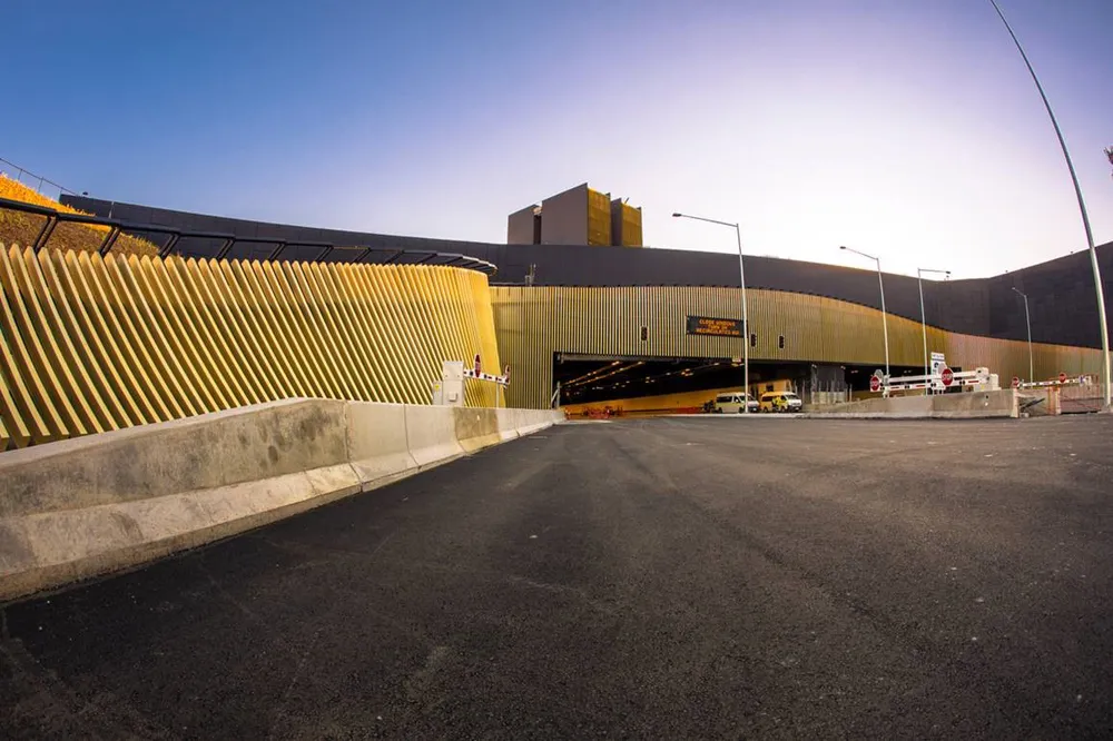
    The third and final construction stage on Sydney’s WestConnex project has begun, including the underground Rozelle Interchange – with a lot of help from Komatsu
  • Reading marks out Meon’s ECO ES RoadLiner
    February 20, 2024
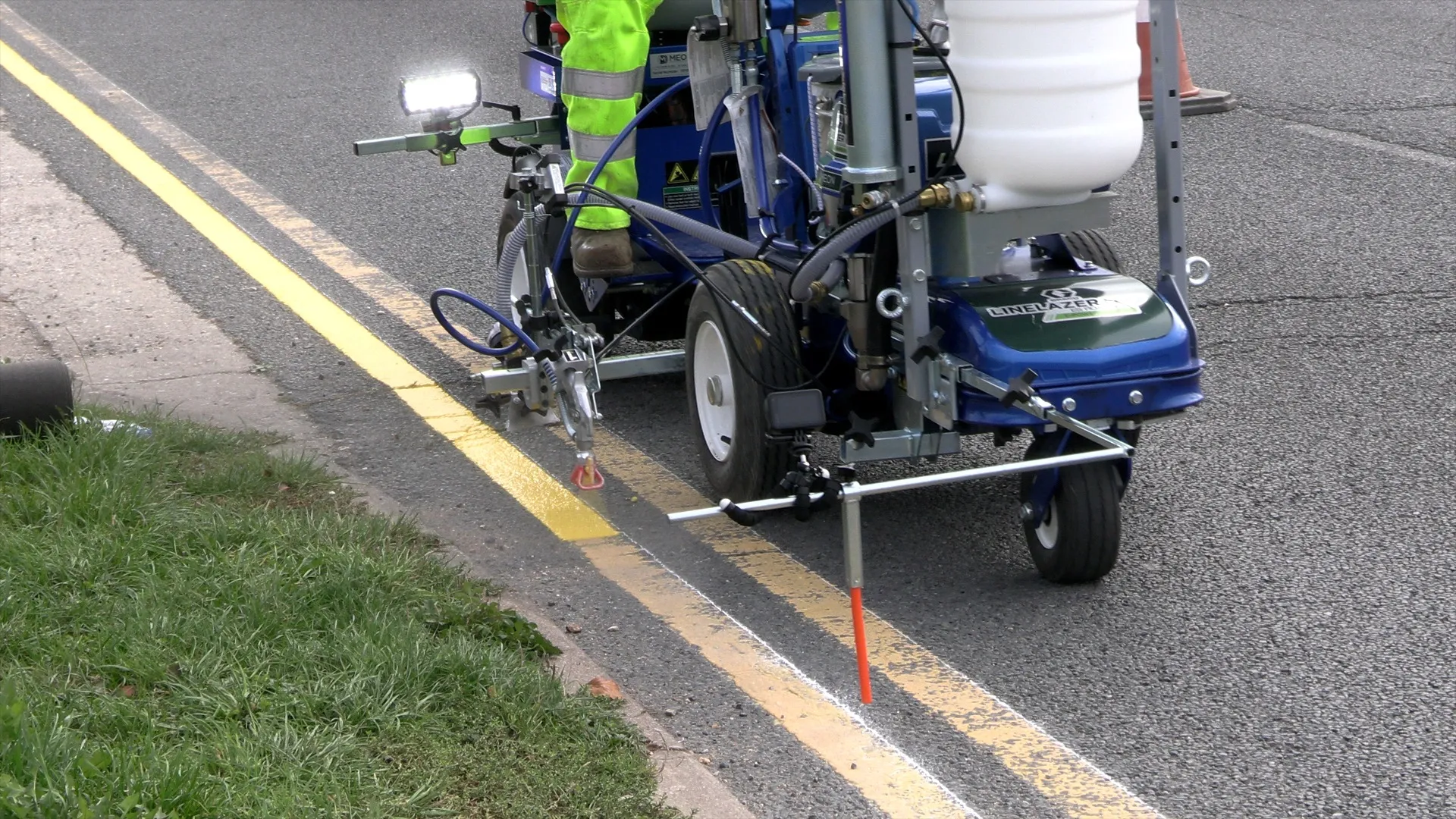
    For road marking duties, the English city of Reading has chosen Meon’s lithium-battery-powered ES RoadLiner, developed from the body of a Graco LineLazer ES 2000 and the drive unit of the LineDriver ES.
  • Excavator advances for the earthmoving sector
    May 26, 2021
    Manufacturers are introducing an array of new excavators and improved models
  • Surveying software
    February 6, 2012
    A new CAD-based package is available for surveying and job site information editing and plotting from Topcon Europe Positioning. Called SurveyMaster Lite, this software is a cost-efficient surveying office package suited to cadastral surveying and construction stakeout duties. The product has been developed from Topcon's SurveyMaster software program, SurveyMaster Lite and features survey specific