More accurate mapping

By MJ Woof July 31, 2024 Read time: 1 min
Trimble and Radiodetection have established a collaboration to develop better digital maps of underground utilities

Trimble and Radiodetection have established a collaboration to improve the technology used in the utility measurement and mapping process. Through the integration of the Trimble Catalyst DA2 GNSS system and Radiodetection’s RD MapTM+ application and precision locator products, the software and hardware integration streamlines utility-locating workflows. This can provide high-accuracy measurement capabilities for the generation of underground utilities maps in a single field operation. 

Traditionally, field technicians mark their measurements onsite manually or rely on data entries to provide to office staff for map creation after a site visit. Data collected with the Trimble Catalyst DA2 GNSS system can now be synced with Radiodetection RD Map+ and precision locators that find and mark buried utilities. By streamlining this connection, workers can digitise utility-line locations and reduce costly reporting errors.  

This integration advances utility measurement workflows by giving personnel the capability to accurately represent the utility asset in a digital format. This streamlines the operation, maintenance and construction process whenever utilities are involved. 

For more information on companies in this article

Related Content

  • Quality assured with asphalt testing equipment
    March 15, 2012
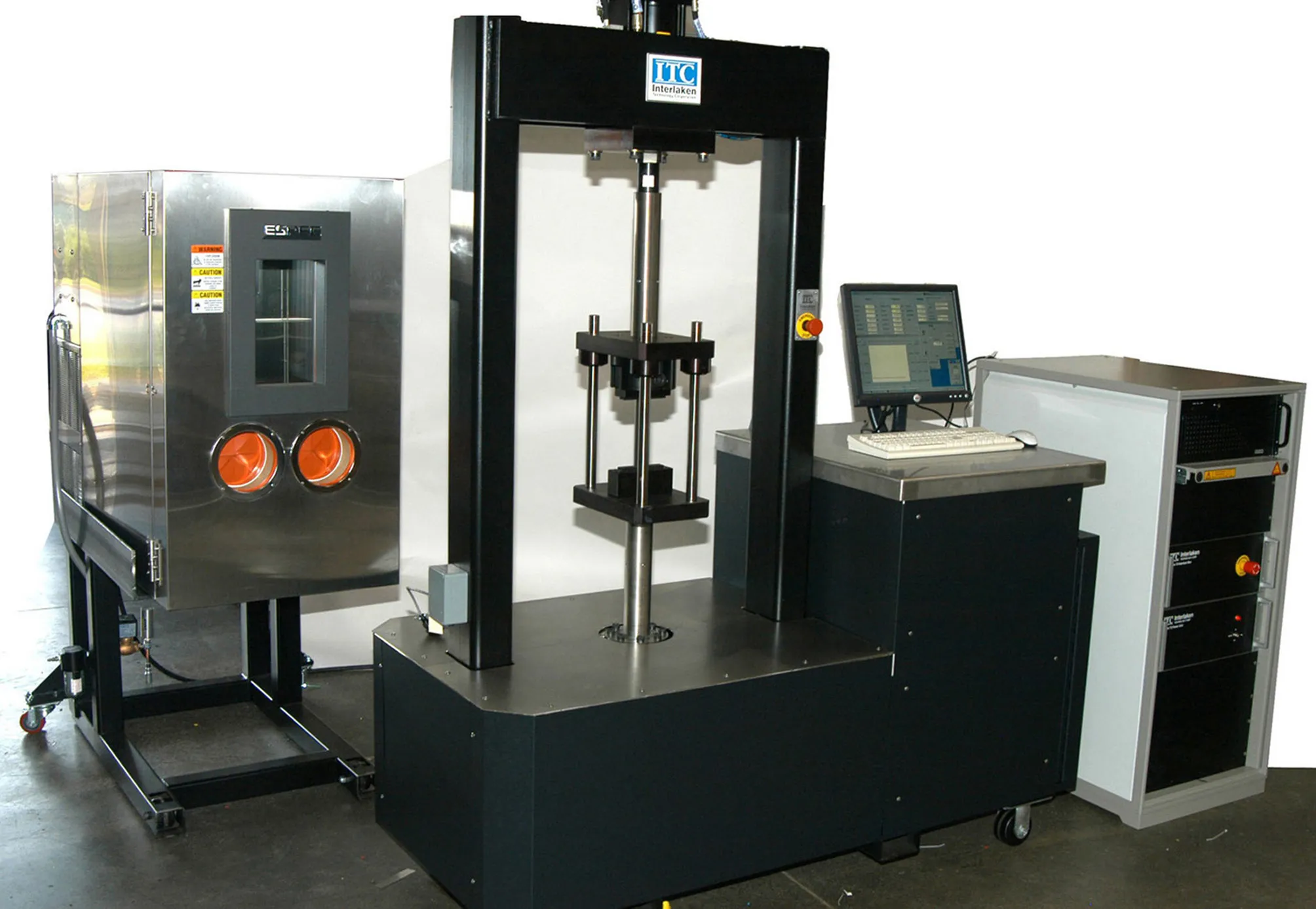
    Equipment for checking out the various qualities required of asphalt in road construction is becoming more sophisticated
  • Accurate road surface analysis system from Telemotion
    August 13, 2014
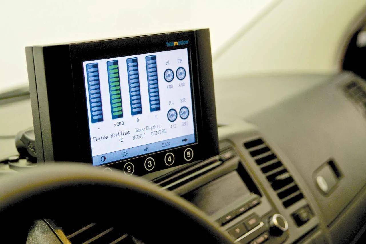
    A sophisticated road surface friction monitoring system is now being offered by Telemotion. This advanced Surface Friction System can capture real-time data on road surfaces for winter roads maintenance and warnings for drivers. The system operates on asphalt, concrete or snow, and even accurately calculates the depth of snow on the surface, as well as temperatures.
  • Telensa and Streetlight Vision form strategic partnership
    August 9, 2013
    Telensa, a ‘smart’ wireless street lighting technology company, and Streetlight.Vision, the central management software provider for ‘smart’ street light and ‘smart’ street solutions, have announced a strategic partnership to integrate their renowned hardware and software systems. The strategic collaboration will see the two companies’ engineering teams working together to interface Telensa’s PLANet (Public Lighting Active Network) system seamlessly with Streetlight.Vision’s central management software plat
  • Bentley Systems expanding product range and operations
    March 20, 2019
    Bentley pushes ahead with acquisitions and partnerships Software specialist Bentley Systems is expanding its range of software products both through key acquisitions and in-house developments, as well as developing its partnerships with other firms. Two firms Bentley has bought are UK company Legion (see box) which is a leading provider of advanced pedestrian modelling software. The other acquisiation is the Swedish company Agency9, which offers city-scale digital twin cloud services that will help enabl