More accurate mapping

By MJ Woof July 31, 2024 Read time: 1 min
Trimble and Radiodetection have established a collaboration to develop better digital maps of underground utilities

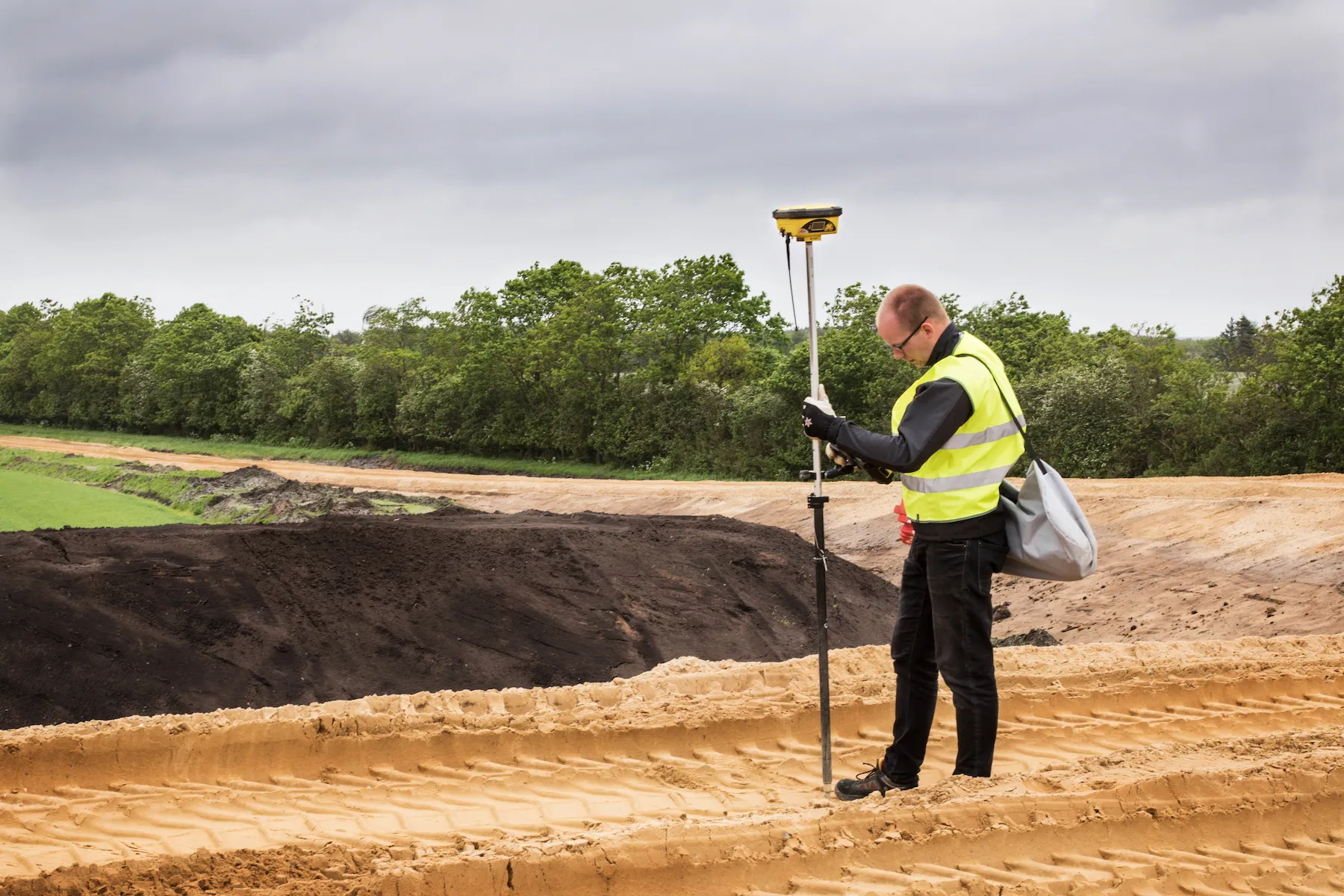
Trimble and Radiodetection have established a collaboration to improve the technology used in the utility measurement and mapping process. Through the integration of the Trimble Catalyst DA2 GNSS system and Radiodetection’s RD MapTM+ application and precision locator products, the software and hardware integration streamlines utility-locating workflows. This can provide high-accuracy measurement capabilities for the generation of underground utilities maps in a single field operation. 

Traditionally, field technicians mark their measurements onsite manually or rely on data entries to provide to office staff for map creation after a site visit. Data collected with the Trimble Catalyst DA2 GNSS system can now be synced with Radiodetection RD Map+ and precision locators that find and mark buried utilities. By streamlining this connection, workers can digitise utility-line locations and reduce costly reporting errors.  

This integration advances utility measurement workflows by giving personnel the capability to accurately represent the utility asset in a digital format. This streamlines the operation, maintenance and construction process whenever utilities are involved. 

For more information on companies in this article

Related Content

  • Weighty matters for developing countries
    November 6, 2012
    One leading Weigh in Motion technology manufacturer is helping governments in developing countries reduce excessive road damage, while several others have seen their latest WIM systems recently used on the highways of Eastern Europe. Guy Woodford reports Recent Central Weighing WIM installations in Bangladesh are helping its national government reduce the financial burden of excessive road damage, while also protecting many bridges that are vital to transport and trade. The need for such installations was e
  • Danish digging for Leica Geosystems’ 3D machine control
    October 26, 2017
    In Denmark’s northern Jutland, Leica Geosystems’ equipment is being used to help build a 40km motorway, one of the fastest-built such projects in the country’s history. The Danish Road Directorate is the client for the €5.4 million motorway between the two Danish cities of Herning, to the south with around 50,000 people, and Holstebro, a city of about 35,000 people, north of Herning. Preliminary ground investigations were made in 2013 and work started in 2015 with completion set for 2018.
  • Doosan unveils new generation XiteCloud platform for smart construction
    October 25, 2022
    Doosan is launching its new generation XiteCloud ‘all-in-one platform’ for smart construction under the company’s ‘Powered by Innovation’ banner.
  • Telematics agreement for construction machines
    December 8, 2015
    Major progress has been made with regard to construction machine manufacturers agreeing on a standard for telematics communications. This is of key importance to contractors running mixed fleets, as data transfer from equipment will now be much easier. This progress has come with a new construction equipment telematics standard from the Association of Equipment Manufacturers (AEM) and Association of Equipment Management Professionals (AEMP). This has added key features to allow data gathering, and a test da