More accurate mapping

By MJ Woof July 31, 2024 Read time: 1 min
Trimble and Radiodetection have established a collaboration to develop better digital maps of underground utilities

Trimble and Radiodetection have established a collaboration to improve the technology used in the utility measurement and mapping process. Through the integration of the Trimble Catalyst DA2 GNSS system and Radiodetection’s RD MapTM+ application and precision locator products, the software and hardware integration streamlines utility-locating workflows. This can provide high-accuracy measurement capabilities for the generation of underground utilities maps in a single field operation. 

Traditionally, field technicians mark their measurements onsite manually or rely on data entries to provide to office staff for map creation after a site visit. Data collected with the Trimble Catalyst DA2 GNSS system can now be synced with Radiodetection RD Map+ and precision locators that find and mark buried utilities. By streamlining this connection, workers can digitise utility-line locations and reduce costly reporting errors.  

This integration advances utility measurement workflows by giving personnel the capability to accurately represent the utility asset in a digital format. This streamlines the operation, maintenance and construction process whenever utilities are involved. 

For more information on companies in this article

Related Content

  • What matters most: an expert’s insight into purchasing light equipment
    July 19, 2021
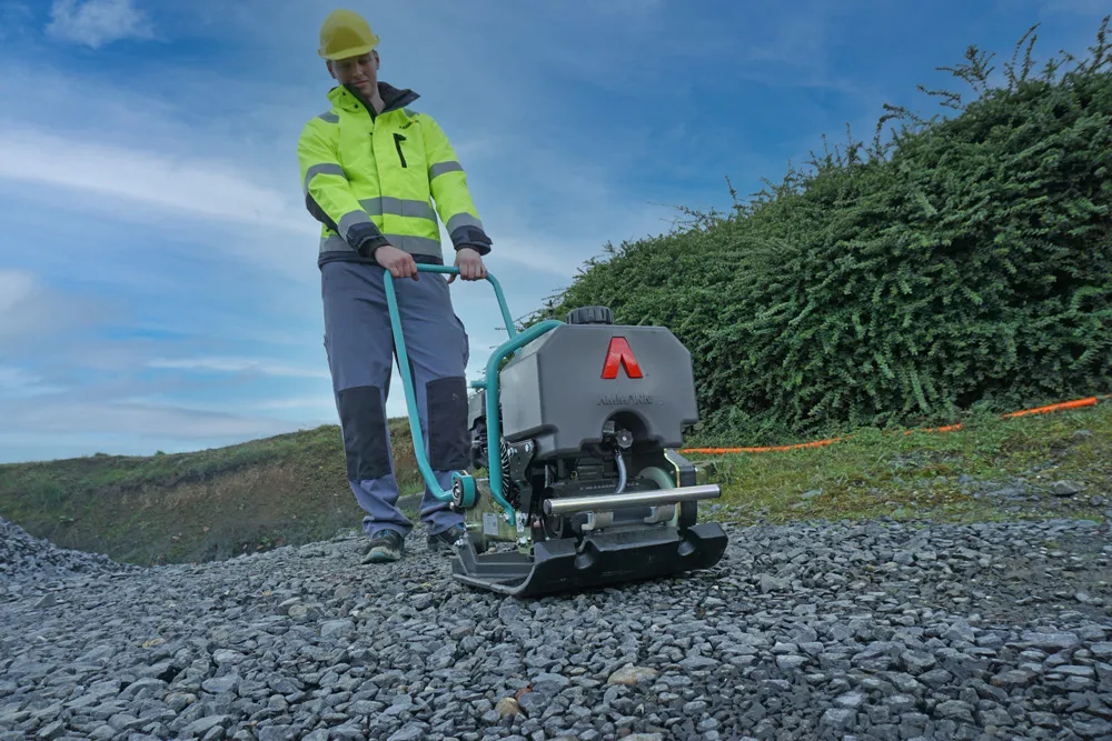
    Sometimes, it seems that the biggest differentiator between various brands of light equipment is their paint colour. Yet there is plenty to compare when you look beyond the surface.
  • Efficient truck loading to optimise operations
    December 15, 2017
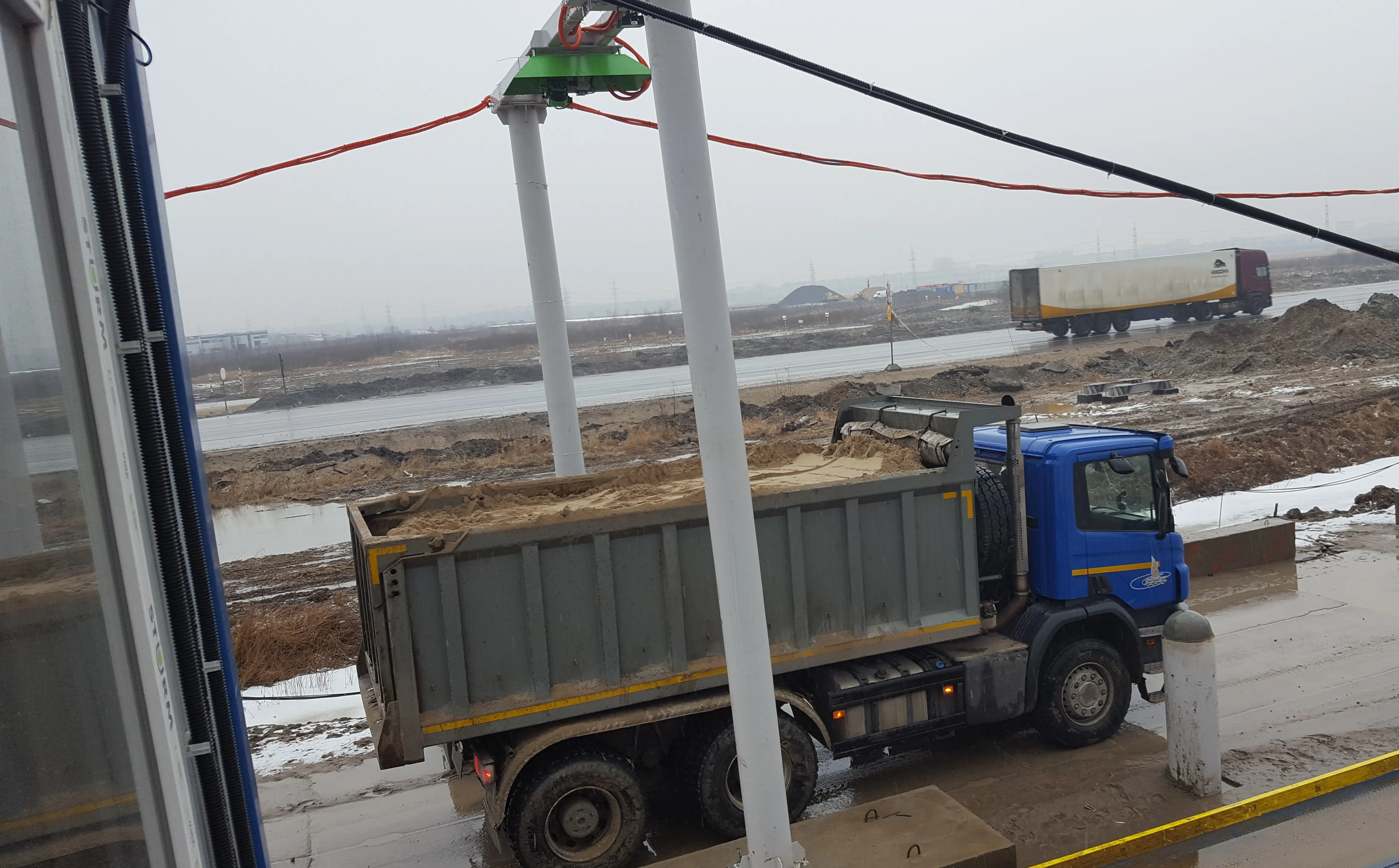
    Accurate technology has been utilised to measure the loads carried by dump trucks on a project in Russia. Specialist supplier LASE commissioned the LaseTVM tool on a road construction site for contractor EuroTransStroy at a construction site in St Petersburg, Russia. The laser-based measurement system is able to determine the volume of bulk materials such as sand and crushed stones with high accuracy. This can be used to prevent differences in loads from one truck to another, so as to ensure consistency.
  • Efficient truck loading to optimise operations
    September 14, 2017
    Specialist supplier LASE commissioned the LaseTVM tool on a road construction site for contractor EuroTransStroy at a construction site in St Petersburg, Russia. The laser-based measurement system is able to determine the volume of bulk materials such as sand and crushed stones with high accuracy. This can be used to prevent differences in loads from one truck to another, so as to ensure consistency. The system also identifies truck license plates and the load area, providing comprehensive data collation.
  • Hexagon adds software firm to portfolio
    January 6, 2017
    Hexagon continues to develop its software portfolio with the acquisition of Listech, which will compliment its array of construction solutions and particularly those of its Leica Geosystems subsidiary. Listech offers software solutions that aid with data processing and help streamline workflows in land management, construction and engineering projects.