More accurate mapping

By MJ Woof July 31, 2024 Read time: 1 min
Trimble and Radiodetection have established a collaboration to develop better digital maps of underground utilities

Trimble and Radiodetection have established a collaboration to improve the technology used in the utility measurement and mapping process. Through the integration of the Trimble Catalyst DA2 GNSS system and Radiodetection’s RD MapTM+ application and precision locator products, the software and hardware integration streamlines utility-locating workflows. This can provide high-accuracy measurement capabilities for the generation of underground utilities maps in a single field operation. 

Traditionally, field technicians mark their measurements onsite manually or rely on data entries to provide to office staff for map creation after a site visit. Data collected with the Trimble Catalyst DA2 GNSS system can now be synced with Radiodetection RD Map+ and precision locators that find and mark buried utilities. By streamlining this connection, workers can digitise utility-line locations and reduce costly reporting errors.  

This integration advances utility measurement workflows by giving personnel the capability to accurately represent the utility asset in a digital format. This streamlines the operation, maintenance and construction process whenever utilities are involved. 

For more information on companies in this article

Related Content

  • Navman Wireless wins award
    April 30, 2012
    Navman Wireless’ Qtanium 300 GPS construction fleet tracking system has won a 2011 Chicago Innovation Award set up to recognise the most innovative new products and services introduced by Chicago-area companies. The Qtanium 300 is claimed to be the first universal construction fleet tracking system, making it possible to monitor actual equipment usage and associated costs for all makes and models of construction equipment from a single application. As part of the company's flagship OnlineAVL2 fleet tracking
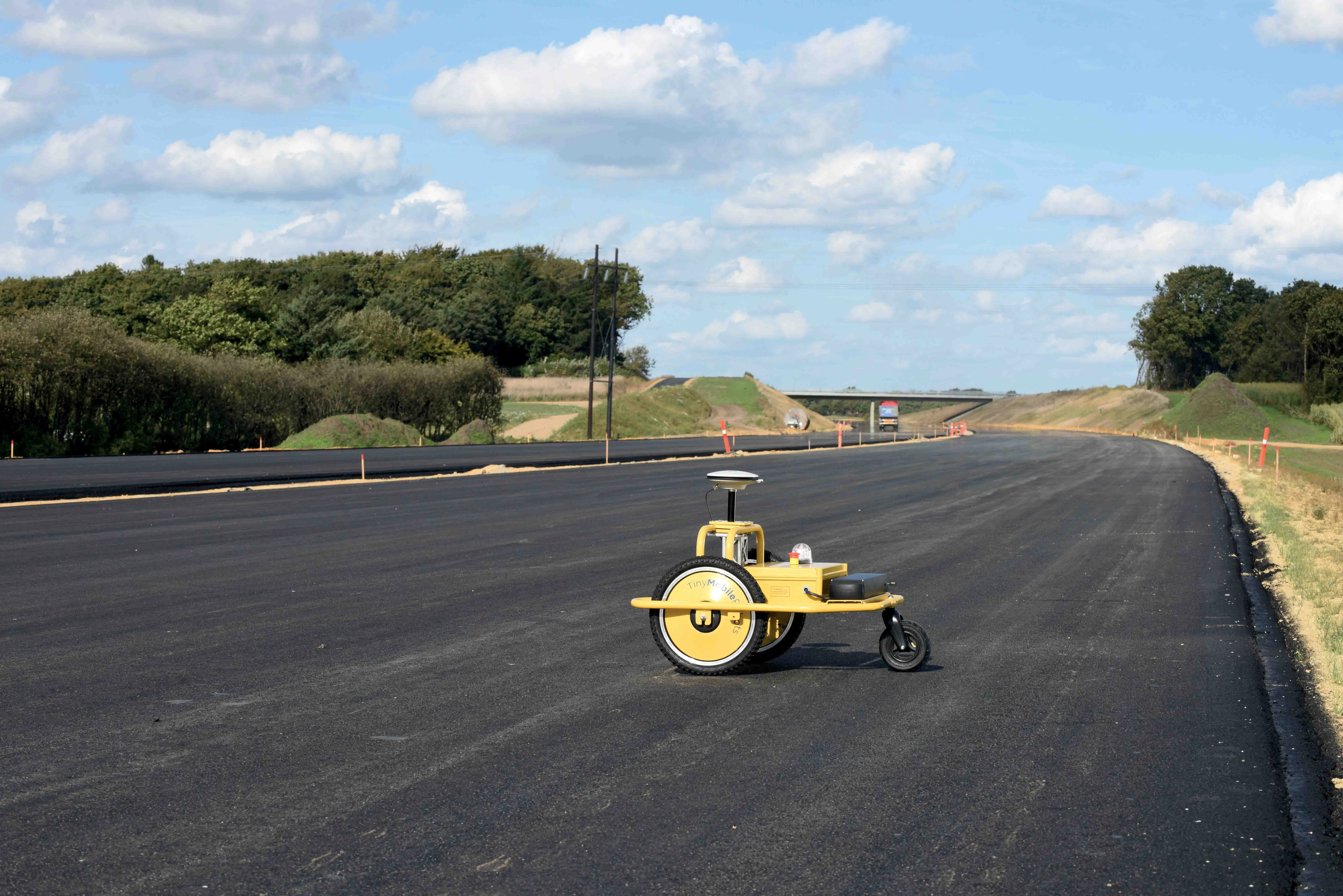
  • TinyMobileRobots launches robot TinySurveyor
    March 24, 2017
    After nearly four years of development, including two years on-site testing, Danish robotics firm TinyMobileRobots has launched its mobile linemarker robot, TinySurveyor. While three people are traditionally required for road marking layout, the robot can do it faster and more reliably, said chief executive Jens Peder Kristensen. The robot requires supervision by only one person and can work through all weather conditions. If the road system layout is digitalised, road coordinates in the specific form
  • Better drainage planning with QuAD software
    April 19, 2021
    The QuAD software resilience tool from ACO Water Management allows users to test the efficiency of a proposed maintenance regime for a roadway water channel design.
  • Efficient excavation technology from Trimble
    March 8, 2017
    Trimble is introducing its new Earthworks package at CONEXPO-CON/AGG 2017. This is a major development for the firm, as Jeff Drake, business area manager for machine control systems explained, “We’re bringing out our new machine control platform.”